Question: How can I easily integrate satellite data into my remote sensing applications without having to handle synchronization and processing?
Sentinel Hub screenshot thumbnail

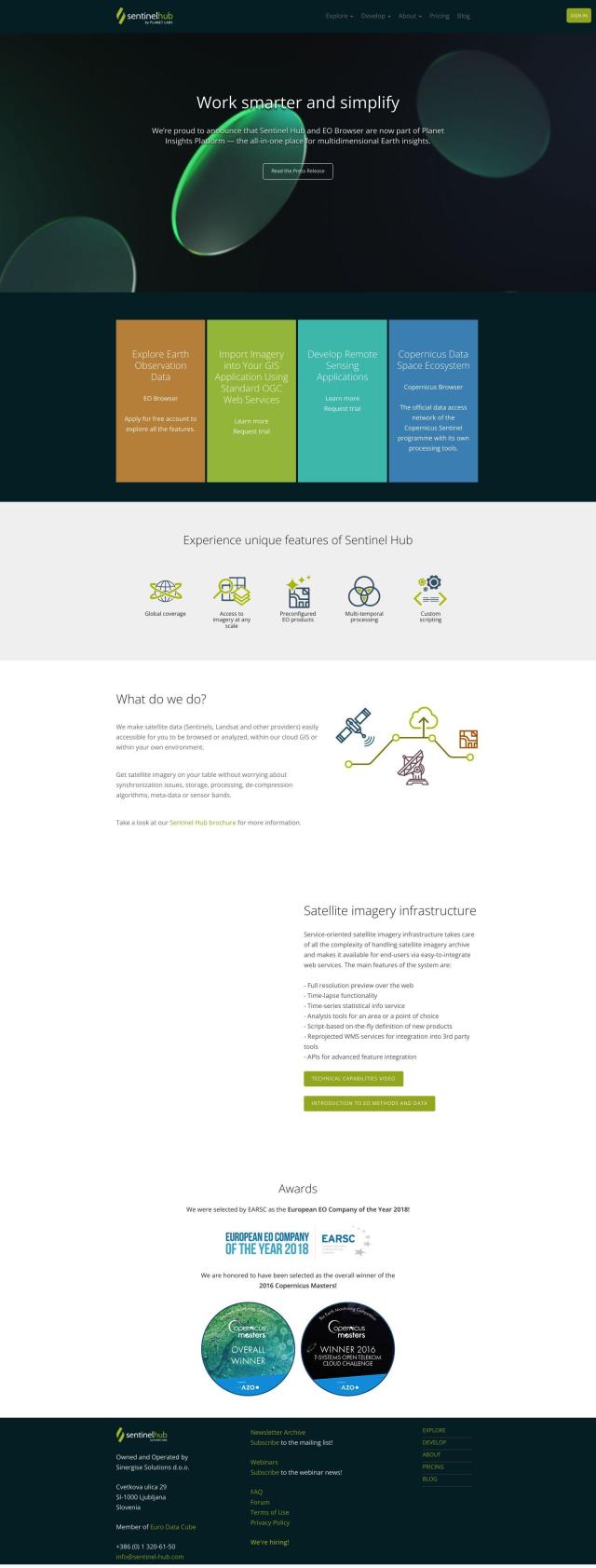
Sentinel Hub

If you want to tap into satellite data in your remote sensing projects without worrying about synchronization and processing, Sentinel Hub is a good choice. This cloud-based API offers a single service to consume satellite imagery from sources like Sentinels and Landsat, along with tools like EO Browser for image visualization and custom visualization. Sentinel Hub takes care of the grunt work of synchronization, storage and processing so you can concentrate on analysis and application.

EOSDA screenshot thumbnail

EOSDA

Another option is EOSDA, which offers geospatial data analysis and machine learning-based tools for agriculture and forestry. EOSDA offers tools for crop monitoring, yield forecasting and soil moisture analysis, among other things. It also includes LandViewer, a GIS software package for processing and storing satellite imagery, so it's a good option for businesses trying to become more sustainable and make better decisions.

Esri screenshot thumbnail

Esri

For a more general spatial analytics foundation, look at Esri, which marries GIS mapping and spatial analytics with location intelligence and machine learning. Esri's platform supports 3D visualization, real-time decision-making and data management, and can run on cloud infrastructure or on-premise. It offers a broad set of tools that can be customized for many industries, so it's a good general-purpose option for remote sensing.

CARTO screenshot thumbnail

CARTO

Last, CARTO is a cloud-native location intelligence platform that makes spatial data analysis and visualization easier. It has an intuitive drag-and-drop interface, built-in GenAI abilities, and access to more than 12,000 geospatial data sets. CARTO's app development and cloud-agnostic design means it's a good option for businesses that want to use spatial analytics to drive business insights and decision-making.
Additional AI Projects

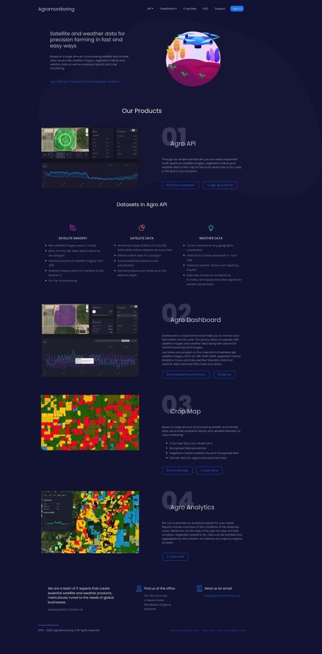
Agromonitoring screenshot thumbnail

Agromonitoring

Provides precision farming insights through satellite imagery, vegetation indices, and weather data, empowering data-driven crop management and decision-making.

Hexagon screenshot thumbnail

Hexagon

Combines sensor, software, and autonomous technologies to increase efficiency, reduce waste, and improve sustainability across industries through data-driven digital reality solutions.

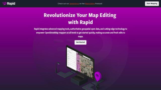
Rapid Editor screenshot thumbnail

Rapid Editor

Automates map creation and updates using machine learning and satellite imagery, reducing manual effort and increasing accuracy.

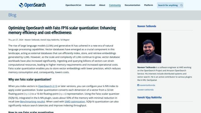
OpenSearch screenshot thumbnail

OpenSearch

Build scalable, high-performance search solutions with out-of-the-box performance, machine learning integrations, and powerful analytics capabilities.

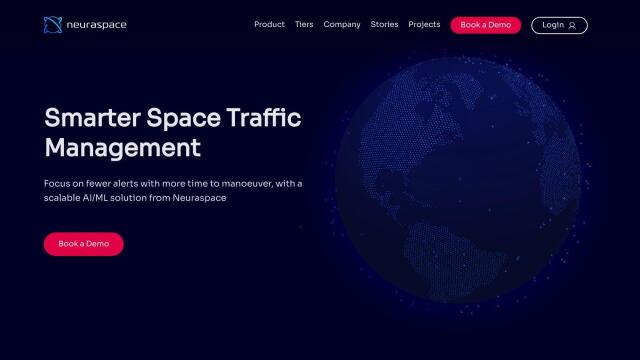
Neuraspace screenshot thumbnail

Neuraspace

Automatically assesses risks and suggests maneuvers up to 5 days before a conjunction, enabling earlier identification of high-risk collisions and more efficient operations.

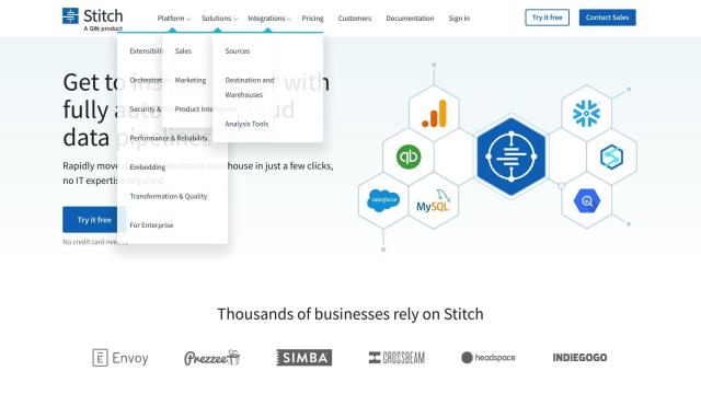
Stitch screenshot thumbnail

Stitch

Extracts data from 140+ sources, loading it into a cloud data warehouse for analysis at scale, with no coding required, in minutes.

Airbyte screenshot thumbnail

Airbyte

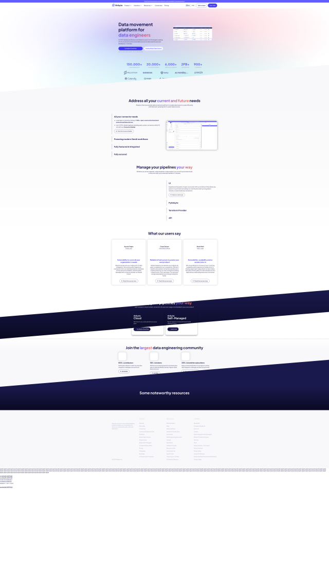
Seamlessly integrate data from 300+ sources to destinations, with features like custom connector building, unstructured data extraction, and automated schema evolution.

SnapLogic screenshot thumbnail

SnapLogic

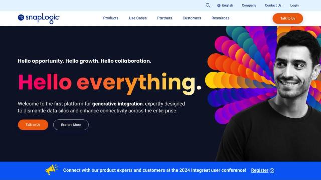
Automates data flows and application integration across enterprises, converting business intent into technical delivery through natural language prompts and pre-built connections.

Peaka screenshot thumbnail

Peaka

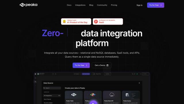
Links multiple data sources, including databases and APIs, into a single queryable source, eliminating ETL processes and enabling real-time data access.

MovingLake screenshot thumbnail

MovingLake

Seamlessly integrate and synchronize data in real-time across multiple APIs, systems, and repositories, eliminating data drift and scheduler hassles.

Estuary screenshot thumbnail

Estuary

Build and automate fast, reliable, and low-latency data pipelines with 100+ no-code connectors for real-time CDC, ETL, and streaming data integration.

Dataloop screenshot thumbnail

Dataloop

Unify data, models, and workflows in one environment, automating pipelines and incorporating human feedback to accelerate AI application development and improve quality.

Fivetran screenshot thumbnail

Fivetran

Automate data replication from 500+ sources, transforming it for analytics, and enable real-time insights with seamless data integration and replication.

Encord screenshot thumbnail

Encord

Streamline computer vision development with automated labeling, data management, and model testing tools to build more accurate models faster.

Secoda screenshot thumbnail

Secoda

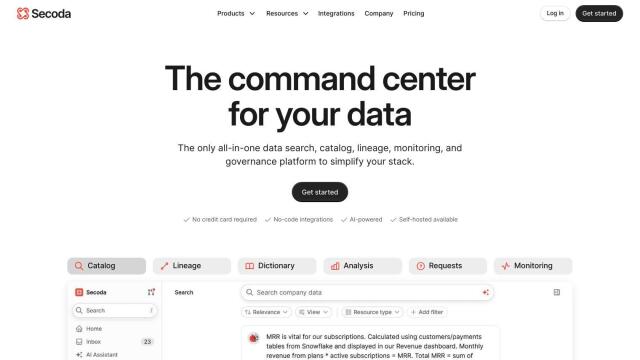
Unifies data catalog, lineage, governance, and monitoring, with AI-powered search, automated workflows, and contextual answers to complex data questions.

Qubinets screenshot thumbnail

Qubinets

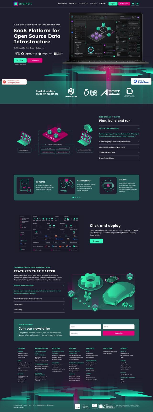
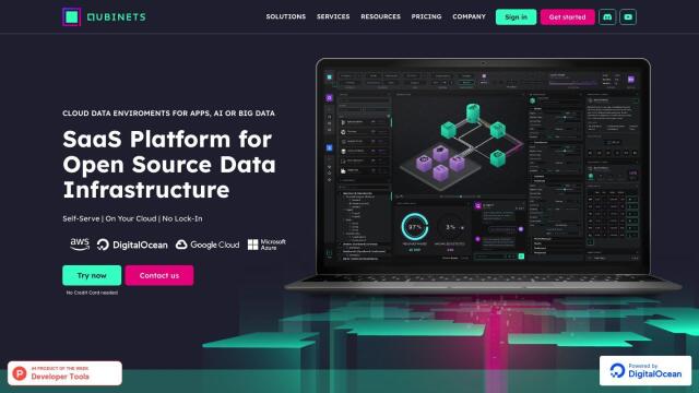
Automates setup and management of open-source data infrastructure, letting developers focus on code, not infrastructure, for faster project deployment.

Lume screenshot thumbnail

Lume

Automates data mapping with AI, generating mapping logic in seconds, and updating it when schema changes, to ensure data consistency and accuracy.

OxBlue screenshot thumbnail

OxBlue

Process project photos to monitor activity, safety, and weather data, enabling informed decision-making with real-time visual insights.

Vectorize screenshot thumbnail

Vectorize

Convert unstructured data into optimized vector search indexes for fast and accurate retrieval augmented generation (RAG) pipelines.

SimplyPut screenshot thumbnail

SimplyPut

Ask data questions in plain language and get trusted answers without coding, with real-time analytics and AI-powered insights into trends, anomalies, and forecasts.