Question: Do you know of a geofencing service that offers high accuracy and unlimited geofences?

Radar screenshot thumbnail

Radar

If you're looking for a geofencing service with high accuracy and unlimited geofences, Radar is a top contender. Radar offers hyper-accurate geofencing with 5-meter accuracy and unlimited geofences, so you can trust it for location tracking. It also has robust mapping and integrates with tools like Segment and Amplitude, so you can easily integrate with your existing tech stack.

Bluedot screenshot thumbnail

Bluedot

Another contender is Bluedot, which offers 20x accuracy for location detection. The platform is geared for quick service restaurants and retail, offering real-time location data and personalized messages to improve customer experiences. Bluedot's no-hardware-required design makes it easy to deploy and scale.
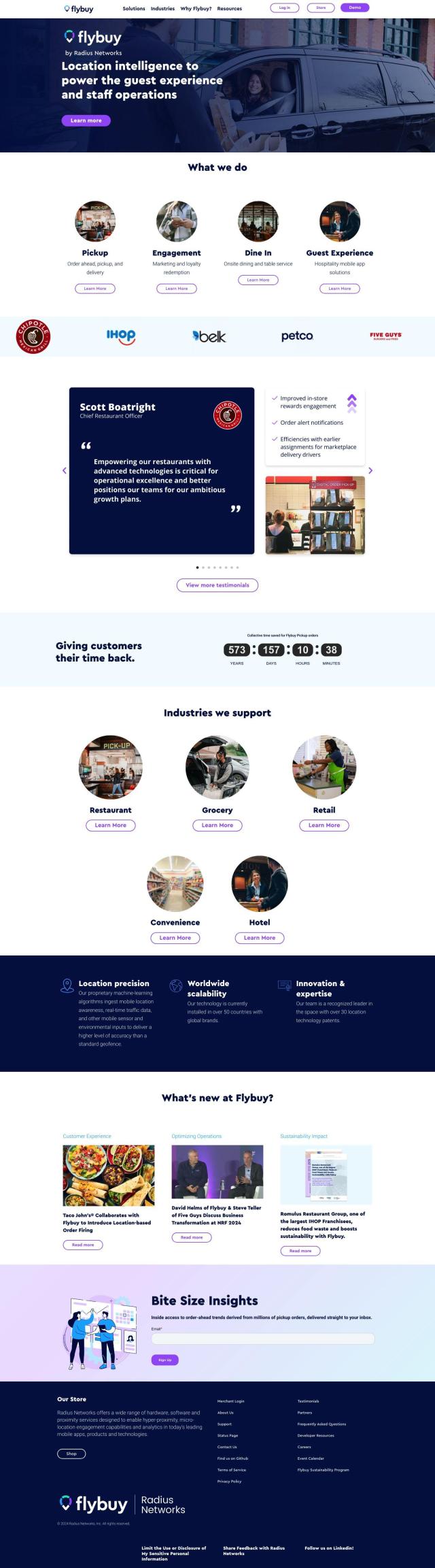
Flybuy screenshot thumbnail

Flybuy

If you're looking for a more complete location intelligence service, check out Flybuy. Flybuy uses machine-learning algorithms to provide very accurate location data. It can handle a range of business needs, including curbside pickup and guest experience, at global scale and with new features. It also integrates with other services so you can have a unified customer experience.

Mapbox screenshot thumbnail

Mapbox

Last, Mapbox offers a location intelligence service with customizable maps and advanced navigation. It has access to global data sets and supports developers with a wealth of resources, so it's good for a wide range of uses. Mapbox charges based on usage, with a free tier, so you can use it for a variety of business needs.

Additional AI Projects

Esri screenshot thumbnail

Esri

Uncover hidden patterns and drive predictive modeling with spatial analytics and machine learning, combining location-based data for innovative insights.

CARTO screenshot thumbnail

CARTO

Analyze and visualize spatial data at any scale with native cloud integration, intuitive drag-and-drop interface, and built-in GenAI capabilities.

MapmyIndia screenshot thumbnail

MapmyIndia

Seamlessly navigate and optimize last-mile operations with integrated navigation, route planning, and location intelligence solutions powered by India's best maps.

Nearmap screenshot thumbnail

Nearmap

Transforms high-resolution aerial imagery into actionable insights with AI predictions, 3D modeling, and geospatial tools for informed business decisions.

CarbonReach screenshot thumbnail

CarbonReach

Combines device, location, network, and behavior data to predict future risks, providing a comprehensive view of network activity for targeted security action.

INRIX screenshot thumbnail

INRIX

Harnesses 50 petabytes of transportation data to provide real-time traffic insights, crash alerts, and parking analytics, optimizing urban mobility and road safety.

Geotab screenshot thumbnail

Geotab

Leverage AI-driven insights and recommendations to optimize fleet operations, improve safety, and reduce emissions, while automating compliance and increasing productivity.

Spatial.ai screenshot thumbnail

Spatial.ai

Unlock deeper customer insights with behavioral segmentation tools, profiling social, mobile, and web behavior to inform targeted marketing and location strategies.

Placekey screenshot thumbnail

Placekey

Assigns a unique identifier to any physical location, standardizing address information for easy data sharing and integration across organizations.

Unearth Insights screenshot thumbnail

Unearth Insights

Access a unified suite of location data and analytics tools, powered by an AI co-pilot, to uncover insights and drive business decisions faster.

DispatchTrack screenshot thumbnail

DispatchTrack

AI-optimized routes and real-time order tracking improve last-mile delivery customer satisfaction, promising speed, precision, and personalized experiences.

PlaceKit screenshot thumbnail

PlaceKit

Fast, accurate, and global address search with autocomplete, geocoding, and store locator features for seamless user experiences and efficient address management.

Loqate screenshot thumbnail

Loqate

Enhance address data quality and user experience with fast and accurate capture, verification, and geocoding technology for 249 countries and territories.

BestTime screenshot thumbnail

BestTime

Provides real-time retail foot traffic data, forecasts, and live activity insights for locations worldwide, enabling informed decisions on visitation and operations.

Incognia screenshot thumbnail

Incognia

Combines persistent device fingerprinting and indoor location intelligence to provide a frictionless risk solution, preventing fraud and reducing false positives.

EOSDA screenshot thumbnail

EOSDA

Utilizes satellite data and machine learning to provide actionable insights for sustainable agriculture and forestry, enabling data-driven decision making and reduced waste.

MaxMind screenshot thumbnail

MaxMind

Provides real-time risk scoring, accurate IP geolocation, and proxy detection to personalize user experiences, manage cybersecurity risk, and prevent online fraud.

Taptap Digital screenshot thumbnail

Taptap Digital

Combines advanced location intelligence and contextual relevance to predict audience affinity and reach ideal customers with granular precision and broadcast scale.

Ably screenshot thumbnail

Ably

Build real-time digital experiences with APIs for live chat, data broadcast, synchronization, and notifications, ensuring reliable delivery at global scale.

DroneDeploy screenshot thumbnail

DroneDeploy

Combines data from multiple sources, including drones and cameras, into one platform, automating capture and extracting insights with AI for informed decision-making.