Question: Can you suggest a service that offers global coverage and multi-temporal processing for remote sensing applications?
Sentinel Hub screenshot thumbnail

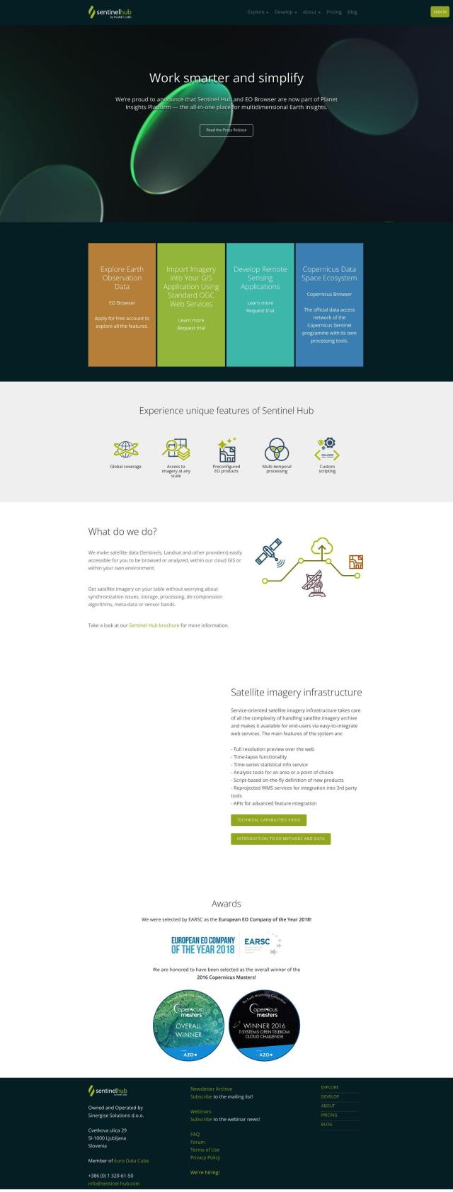
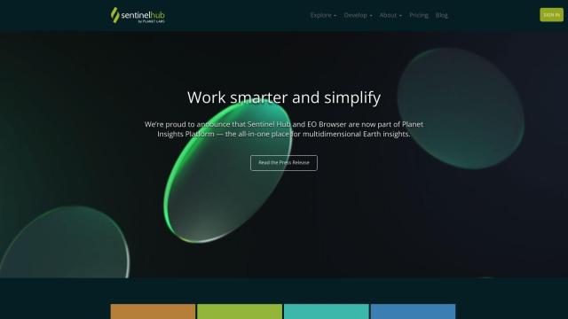
Sentinel Hub

If you need a service with global coverage and multi-temporal processing for remote sensing, Sentinel Hub is a great choice. This cloud-based API gives you access to satellite imagery from sources like Sentinels and Landsat, along with tools to browse, compare and process imagery. It includes tools like EO Browser to create time-lapses and statistical information services, and offers high-resolution downloads and 3D visualizations. The service takes care of things like synchronization, storage and processing so you can concentrate on analysis and applications.

EOSDA screenshot thumbnail

EOSDA

Another interesting service is EOSDA, which offers geospatial data analytics and machine learning tools for precision agriculture, forestry and sustainability. EOSDA offers tools like LandViewer for storing and processing satellite imagery and crop monitoring, yield forecasting and soil moisture analysis. The platform is designed for businesses that want to increase profitability and minimize waste by better understanding land use and monitoring the environment.

Esri screenshot thumbnail

Esri

If you're looking for a more general purpose GIS mapping and spatial analytics platform, Esri offers location intelligence and competitive advantage through a combination of location analytics and machine learning. Its suite of tools includes 3D visualization, spatial analysis and data science, making it useful for a broad range of industries and use cases. The platform can be deployed in the cloud or on-premise, and offers a 21-day free trial along with extensive training and community support.

Nearmap screenshot thumbnail

Nearmap

Last, Nearmap offers high-resolution imagery and 3D modeling with AI predictions and geospatial tools to help you make decisions. It offers current aerial views, 3D visualization models and specialty data sets for use cases including environmental monitoring and disaster response. The platform is flexible, serving industries including insurance, real estate and infrastructure planning.
Additional AI Projects

Agromonitoring screenshot thumbnail

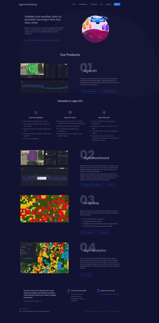
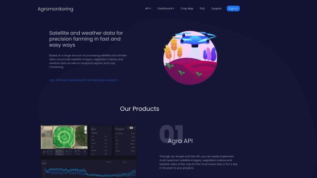
Agromonitoring

Provides precision farming insights through satellite imagery, vegetation indices, and weather data, empowering data-driven crop management and decision-making.
DroneDeploy screenshot thumbnail

DroneDeploy

Combines data from multiple sources, including drones and cameras, into one platform, automating capture and extracting insights with AI for informed decision-making.

Hexagon screenshot thumbnail

Hexagon

Combines sensor, software, and autonomous technologies to increase efficiency, reduce waste, and improve sustainability across industries through data-driven digital reality solutions.

CARTO screenshot thumbnail

CARTO

Analyze and visualize spatial data at any scale with native cloud integration, intuitive drag-and-drop interface, and built-in GenAI capabilities.

Mapbox screenshot thumbnail

Mapbox

Create customizable, interactive maps with live-updating data and advanced navigation features for web, mobile, automotive, and AR applications.

Unearth Insights screenshot thumbnail

Unearth Insights

Access a unified suite of location data and analytics tools, powered by an AI co-pilot, to uncover insights and drive business decisions faster.

Atmo screenshot thumbnail

Atmo

Produces high-resolution, real-time weather forecasts with up to 50% greater accuracy and 40,000 times faster processing than traditional models.

Scale screenshot thumbnail

Scale

Provides high-quality, cost-effective training data for AI models, improving performance and reliability across various industries and applications.

AI Clearing screenshot thumbnail

AI Clearing

Generates 3D site reports with 100% site coverage, providing accurate and efficient progress monitoring, reducing re-work costs and litigation risks.

LandingLens screenshot thumbnail

LandingLens

Unlock insights from unlabeled images, achieve accurate results, and deploy computer vision models flexibly and scalably across industries.

Radar screenshot thumbnail

Radar

Radar combines geofencing, geocoding, and mapping for accurate, cost-effective location-based experiences.

Salad screenshot thumbnail

Salad

Run AI/ML production models at scale with low-cost, scalable GPU instances, starting at $0.02 per hour, with on-demand elasticity and global edge network.

OpenSearch screenshot thumbnail

OpenSearch

Build scalable, high-performance search solutions with out-of-the-box performance, machine learning integrations, and powerful analytics capabilities.

Imagga screenshot thumbnail

Imagga

Automatically tag, categorize, and search images with customizable machine learning technology for smart applications.

Appen screenshot thumbnail

Appen

Fuel AI innovation with high-quality, diverse datasets and a customizable platform for human-AI collaboration, data annotation, and model testing.
LSEG Data & Analytics screenshot thumbnail

LSEG Data & Analytics

Empowers financial decision-making with global market data, AI-powered analytics, and collaborative workflow solutions, providing comprehensive insights and interoperability.

Spatial.ai screenshot thumbnail

Spatial.ai

Unlock deeper customer insights with behavioral segmentation tools, profiling social, mobile, and web behavior to inform targeted marketing and location strategies.

Earth Networks screenshot thumbnail

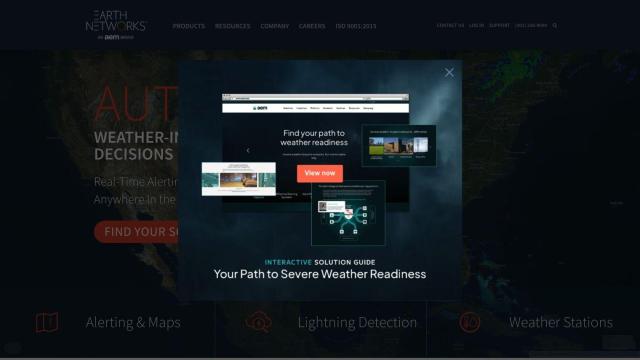
Earth Networks

Provides real-time weather alerting and lightning detection with high location accuracy, enabling businesses to make informed decisions about weather-related safety.

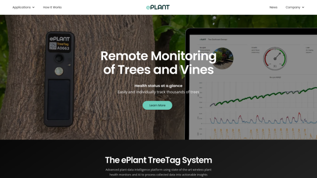
ePlant screenshot thumbnail

ePlant

Remotely monitor tree health and environmental conditions with long-range wireless sensors, tracking growth, stress, and weather patterns for data-driven decisions.

Geotab screenshot thumbnail

Geotab

Leverage AI-driven insights and recommendations to optimize fleet operations, improve safety, and reduce emissions, while automating compliance and increasing productivity.