Question: Can you recommend a tool that helps me analyze drone flight data and improve my drone business operations?

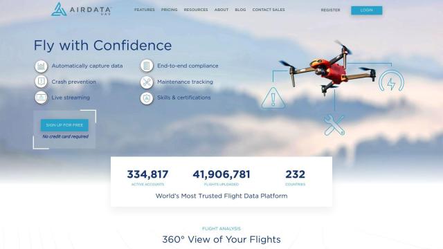
Airdata
If you want a single tool to help you analyze drone flight data and run your drone business better, Airdata is a good option. It offers advanced analytics, maintenance tracking and customizable reports. With features like automatic flight log upload, you can get data on aircraft and battery performance, environmental factors, and imagery analysis. The service is geared for safety, efficiency and performance improvements, and is available for recreational and commercial customers with a tiered pricing system.

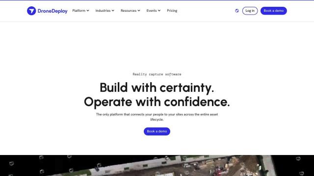
DroneDeploy
Another option is DroneDeploy, which combines drone mapping and photo documentation for the entire asset lifecycle. It automates capture and offers intelligent insights through AI-powered data extraction. The service is particularly useful for construction, oil and gas, and renewable energy customers who need to track progress and spot problems. With security and compliance certifications, it's an enterprise-grade option.


FlyPix
For customers that need geospatial solutions, FlyPix offers AI-powered geospatial analytics that turn complex imagery into actionable insights. It includes advanced AI models for object detection, localization and tracking. The service is adaptable, serving government, construction, renewable energy and agriculture customers, and offers a user-friendly interface for easy data analysis and visualization.
