Question: Can you recommend a digital farming tool that integrates with various equipment brands and models?

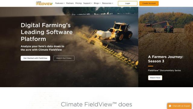
Climate FieldView
If you're looking for a digital farming tool that can work with a variety of equipment brands and models, Climate FieldView is a good option. The platform collects and analyzes data from a range of equipment, including tractors and combines, to help farmers maximize yields and profits. It includes data visualization, crop performance analysis and variable rate prescriptions in a single data hub. Climate FieldView can connect to data through a variety of means, including FieldView Drive and Precision Planting 20/20 SeedSense monitors.

Cropwise
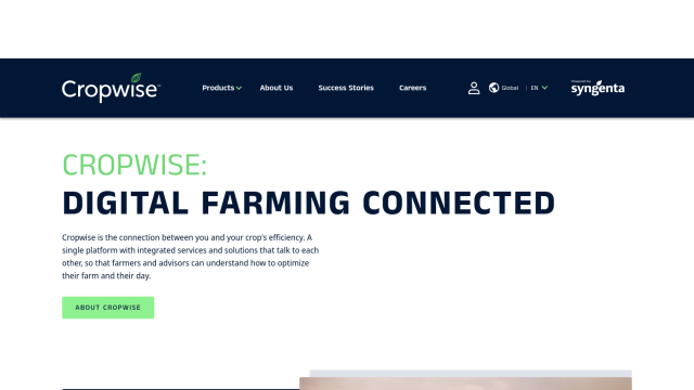
Another good option is Cropwise. The platform offers a collection of apps to help optimize farm operations and increase crop efficiency. With real-time field monitoring, crop health imagery and personalized seed recommendations, Cropwise streamlines farm operations and helps farmers make data-driven decisions. It's used globally and has helped farmers reduce rework and increase yields.


EOSDA
If you want to take advantage of satellite imagery and machine learning for precision agriculture, EOSDA offers a geospatial data analytics platform. It offers tools for crop monitoring, yield forecasting and soil moisture analysis, all designed to increase profitability and sustainability. EOSDA's platform is based on satellite imagery and machine learning algorithms, so it's a practical and environmentally friendly option for businesses in agriculture.
PIX4D
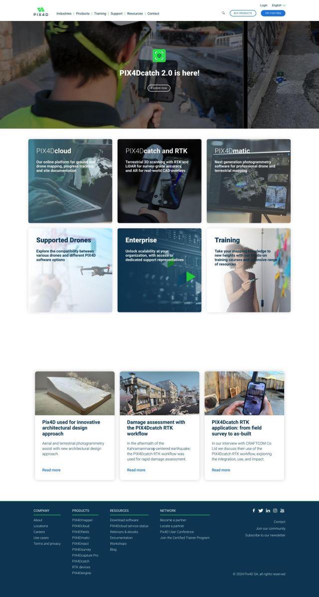
Last, PIX4D is a photogrammetry software suite that uses images from drones and cameras to create detailed maps and 3D models. It's geared for industries like surveying and construction, but PIX4D's precision agriculture tool, PIX4Dfields, is geared for the ag industry, with more detailed monitoring and analysis abilities. With flexible processing options and a lot of support, PIX4D is a good option for farmers who want to use drone technology for precision farming.


