Question: I'm looking for a cloud-based API to access and utilize satellite imagery from various sources, can you help?
Sentinel Hub
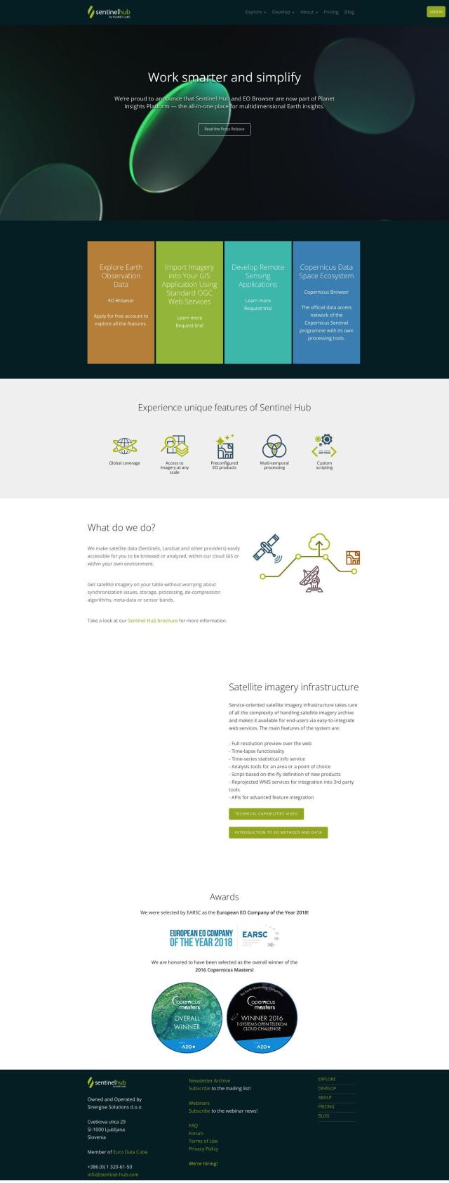
If you're looking for a cloud-based API to access and use satellite imagery from multiple sources, Sentinel Hub is a good choice. This service provides a single interface for using satellite data from sources like Sentinels and Landsat, with tools like EO Browser for image exploration and custom visualization. It synchronizes data, stores it, processes it and compresses it, so you can concentrate on the analysis. It offers free and paid tiers, so it's good for a wide range of customers.


EOSDA
Another good option is EOSDA, which offers geospatial data analysis using satellite imagery and machine learning algorithms. EOSDA specializes in precision agriculture and forestry, with tools for monitoring crops, forecasting yields and analyzing soil moisture. Its LandViewer software is useful for storing and processing satellite imagery, so it's a good choice for businesses in those areas.


Esri
For a wider range of geospatial tools, check out Esri. Although it's not specifically focused on satellite imagery, Esri's GIS mapping software and spatial analytics tools can be very useful for adding location intelligence and machine learning to your apps. It supports 3D visualization, location intelligence and remote sensing, so it's good for retail and infrastructure planning.
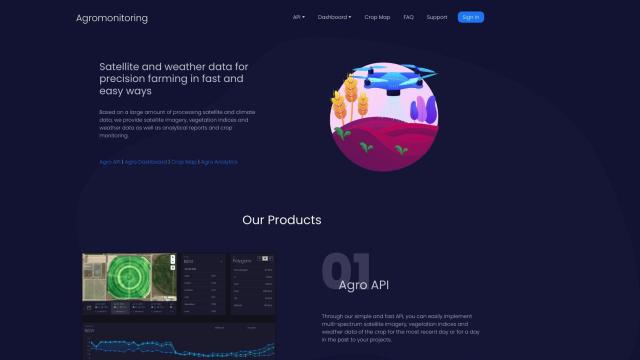
Agromonitoring
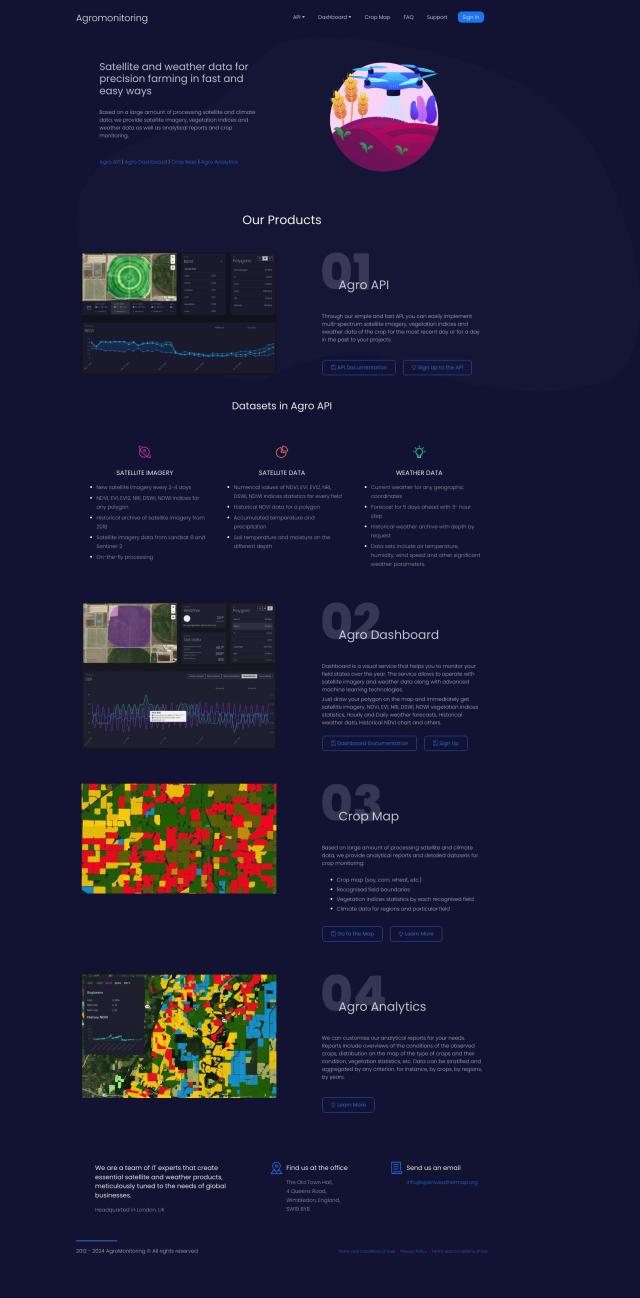
Last, Agromonitoring offers precision farming services based on satellite and weather data. Its API and dashboard tools let you monitor crops in real time and get detailed analysis of crop conditions, which can be important for making decisions in the field. The service's tiered pricing means it's available to farmers, agricultural developers and businesses.


