Question: I'm looking for a system that can help identify air pollution hotspots and trends in my local area.

Airly screenshot thumbnail

Airly

If you want a system to spot air pollution hotspots and trends in your area, Airly is a good option. It offers real-time data from a network of sensors that measure particulate matter, gases and other pollutants. The service includes a mobile app for easy access to air quality information, forecasts and customizable alerts. It also offers data-driven decision support with software for data analysis and visualization, making it a good option for governments, companies and communities.

Nearmap screenshot thumbnail

Nearmap

If you want a more general-purpose environmental monitoring tool, Nearmap offers high-resolution imagery and geospatial tools. It's mostly designed for 3D modeling and AI predictions for things like construction and real estate, but its near-infrared imagery can be useful for environmental monitoring. It could be a useful adjunct to Airly, offering you more visual context about your surroundings.
Data Commons screenshot thumbnail

Data Commons

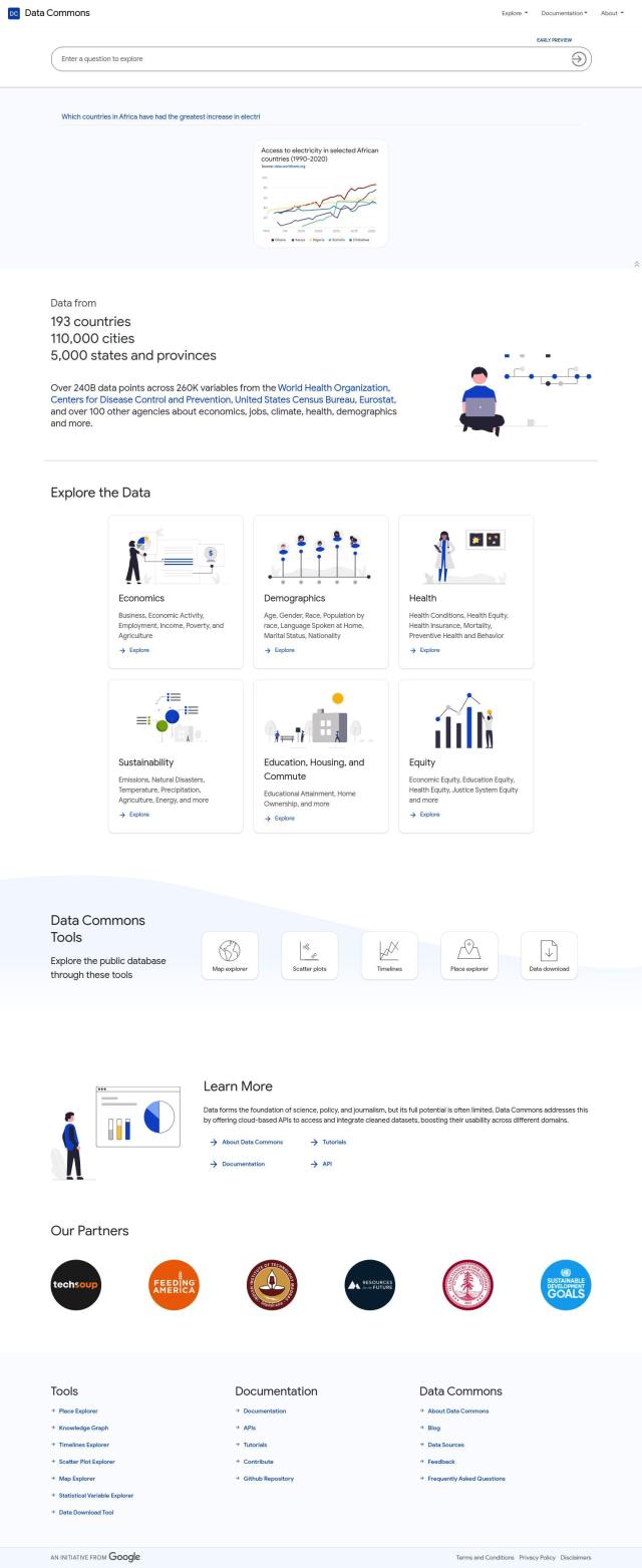
Another option is Data Commons, a public repository of data aggregated from more than 193 countries. It covers a lot of subjects, including health and sustainability. You can browse the data with tools like maps and timelines, and download it for closer examination. That could be useful if you want to see how air pollution trends and patterns change over time and geography.

Mapbox screenshot thumbnail

Mapbox

Last, Mapbox offers customizable maps and advanced navigation features that you can customize to include air pollution data. Its APIs and SDKs let you add your own data and show it on interactive maps. That can help you get a better view of air pollution hotspots and trends, and better understand the data.

Additional AI Projects

INRIX screenshot thumbnail

INRIX

Harnesses 50 petabytes of transportation data to provide real-time traffic insights, crash alerts, and parking analytics, optimizing urban mobility and road safety.

Meteomatics screenshot thumbnail

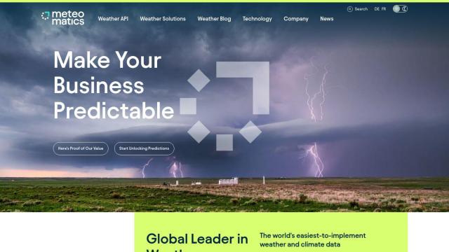
Meteomatics

Access global high-resolution weather, ocean, environment, and climate data through a comprehensive API, including historical, real-time, and forecast data up to 2100.

Atmo screenshot thumbnail

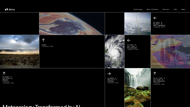
Atmo

Produces high-resolution, real-time weather forecasts with up to 50% greater accuracy and 40,000 times faster processing than traditional models.

Earth Networks screenshot thumbnail

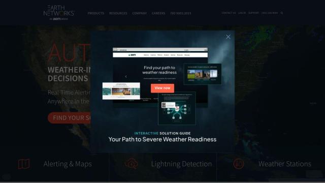
Earth Networks

Provides real-time weather alerting and lightning detection with high location accuracy, enabling businesses to make informed decisions about weather-related safety.

Spatial.ai screenshot thumbnail

Spatial.ai

Unlock deeper customer insights with behavioral segmentation tools, profiling social, mobile, and web behavior to inform targeted marketing and location strategies.

Placekey screenshot thumbnail

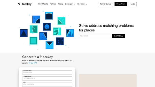
Placekey

Assigns a unique identifier to any physical location, standardizing address information for easy data sharing and integration across organizations.

Sensibo Smart Home Climate Control screenshot thumbnail

Sensibo Smart Home Climate Control

Control your air conditioner or heat pump from your phone, anywhere, anytime.

CarbonReach screenshot thumbnail

CarbonReach

Combines device, location, network, and behavior data to predict future risks, providing a comprehensive view of network activity for targeted security action.

ePlant screenshot thumbnail

ePlant

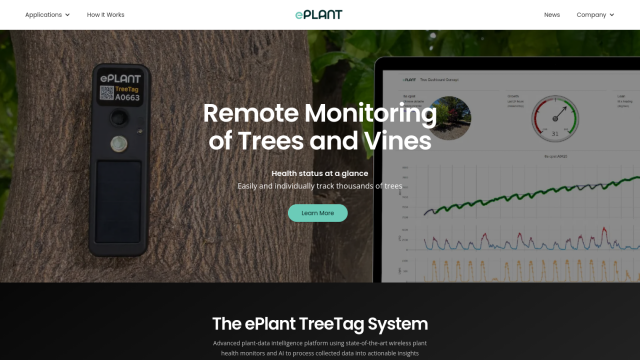
Remotely monitor tree health and environmental conditions with long-range wireless sensors, tracking growth, stress, and weather patterns for data-driven decisions.

Placer.ai screenshot thumbnail

Placer.ai

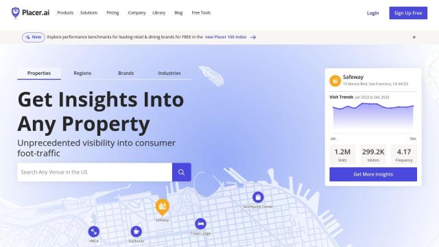
Gain unprecedented visibility into consumer behavior, track migration patterns, and uncover market trends with actionable data-driven insights for informed business decisions.

Pl@ntNet screenshot thumbnail

Pl@ntNet

Identify plants from photos using image recognition technology, and contribute to biodiversity research by reporting observations and exploring species near your location.

ipdata screenshot thumbnail

ipdata

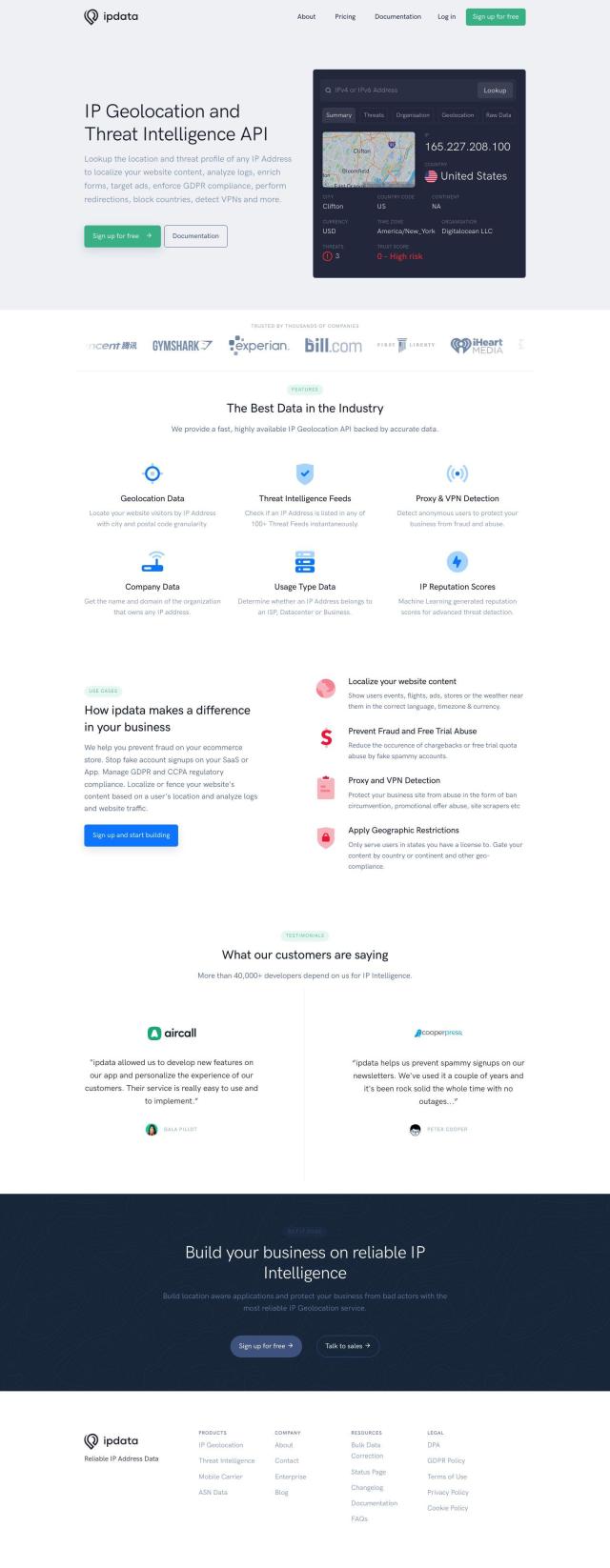
Accurately locate IP addresses, detect threats, and prevent fraud with geolocation data, threat intelligence feeds, and machine learning-generated reputation scores.

Perplexity screenshot thumbnail

Perplexity

Delivers trustworthy, real-time answers to any query, with customizable AI models, file upload, and image generation capabilities for fast and convenient information retrieval.

ThoughtSpot screenshot thumbnail

ThoughtSpot

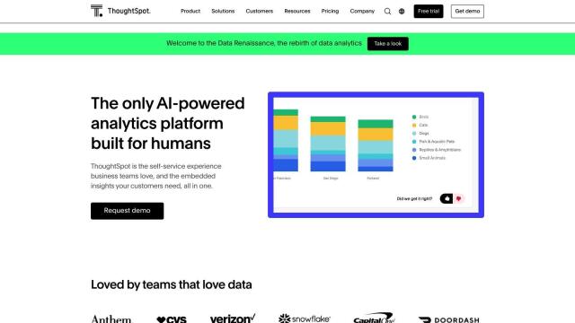
Ask complex data questions in natural language and get instant AI-powered insights, empowering informed business decisions without requiring SQL or data expertise.

MOCA screenshot thumbnail

MOCA

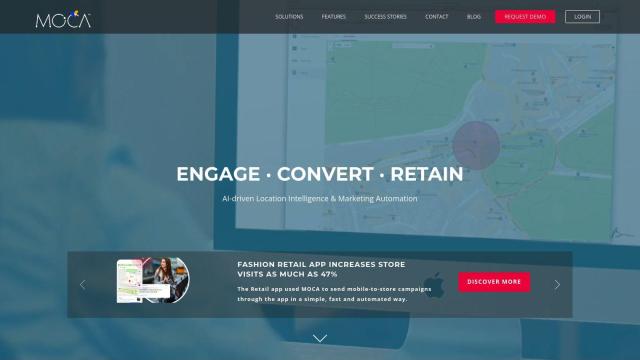
Creates dynamic audience segments and delivers personalized experiences using AI-powered marketing solutions and location intelligence.

BirdWeather screenshot thumbnail

BirdWeather

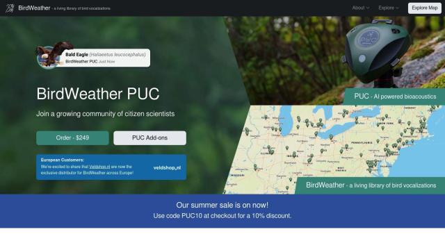
Identify and classify over 6,000 bird species in real-time using a portable, weatherproof recorder and cloud-based automatic processing.

Metaculus screenshot thumbnail

Metaculus

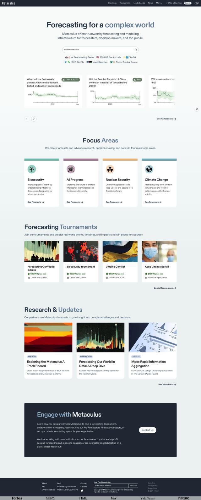
Collectively make accurate predictions about future real-world events by pooling knowledge, expertise, and intelligence across four key areas: biosecurity, AI progress, nuclear security, and climate change.

Loqate screenshot thumbnail

Loqate

Enhance address data quality and user experience with fast and accurate capture, verification, and geocoding technology for 249 countries and territories.

Airbook screenshot thumbnail

Airbook

Accelerate data analysis and insights generation across teams with native connectors to 150+ data sources, collaborative querying, and visualization tools.

Altmetric screenshot thumbnail

Altmetric

Track and analyze online attention to research, beyond traditional citation counts, instantly.