Question: Can you recommend a platform that uses AI to analyze geospatial data and provide actionable insights for various industries?

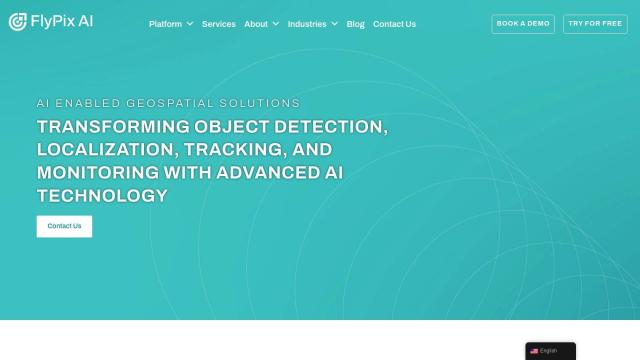
FlyPix
If you want a platform to analyze geospatial data and get insights out of it, FlyPix is a good option. It applies AI models for detecting objects, locating them, tracking them and monitoring them. The service has an interface designed to let you analyze and visualize geospatial data, making it a good fit for government, construction, renewable energy and other industries.


Esri
Another big name is Esri, which marries GIS mapping and spatial analysis with machine learning for location intelligence. Its broad suite of tools includes 3D visualization, GIS mapping and predictive modeling, and is good for everything from picking retail sites to managing assets to optimizing supply chains.


