Question: I need a solution that allows me to add custom markers and points of interest to my maps, can you suggest a tool that can do this?
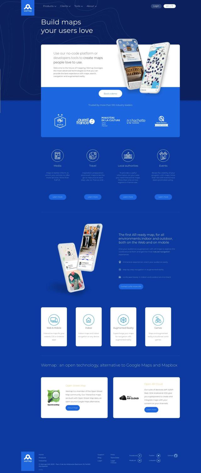
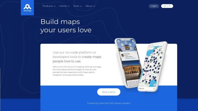
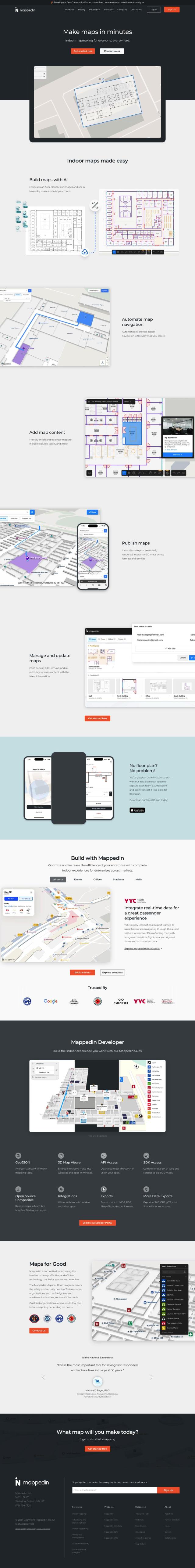
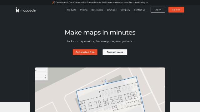
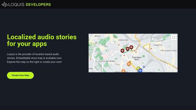
Wemap
If you're looking for a service to add your own markers and points of interest to a map, Wemap is worth a look. It's an interactive mapping service geared for publishers, with no-code tools and more sophisticated SDKs. Wemap offers markers and points of interest, as well as augmented reality, interactive maps for the web and mobile devices, and geocoding. It can be integrated with existing content and distribution channels through APIs and SDKs, so it's a good choice for many industries.


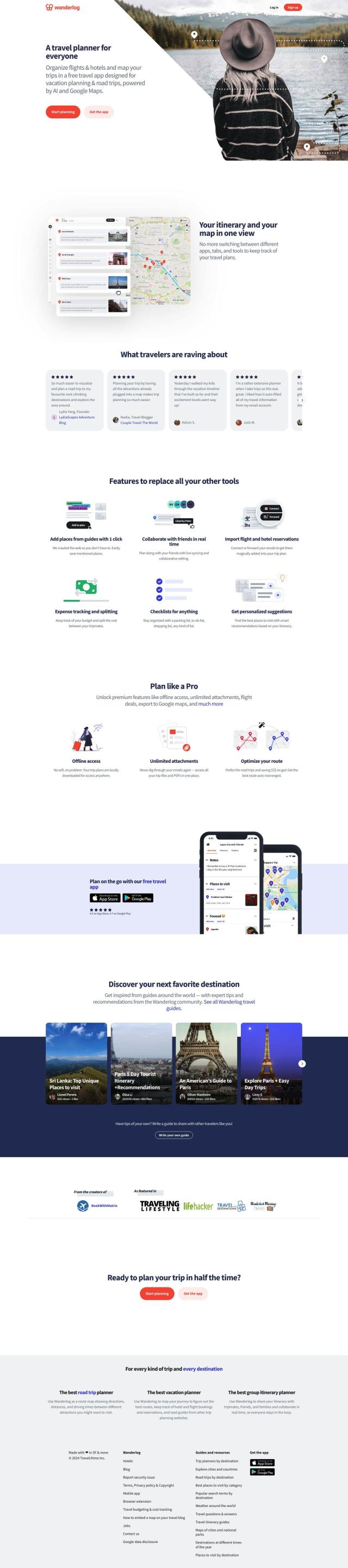
Mapbox
Another good contender is Mapbox, which offers APIs and SDKs for customizable maps and more advanced navigation. It offers interactive maps with live-updating data, sophisticated routing engines and precise location search. Mapbox also lets you easily incorporate your own data, so it's good for a lot of use cases. It's free to use, and volume discounts can help keep costs down.
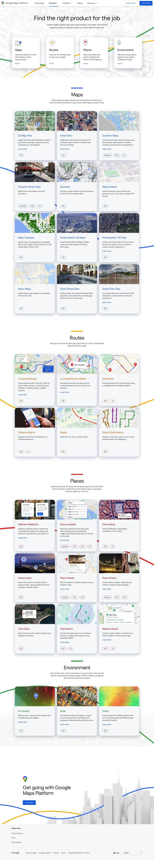

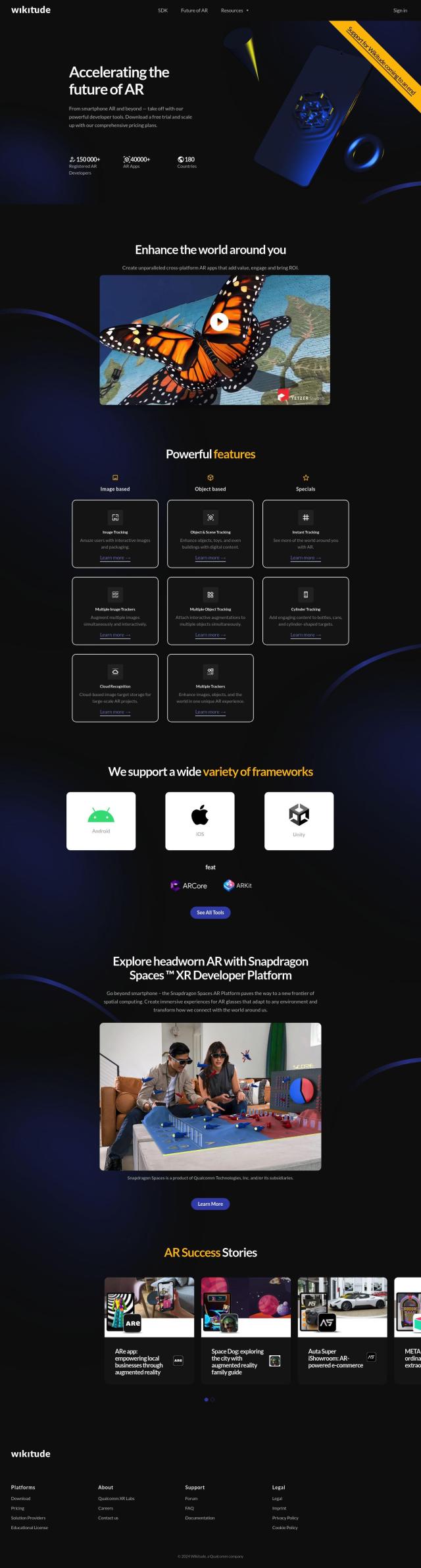
Google Maps Platform
If you're willing to tap into Google's ecosystem, Google Maps Platform offers a broad set of location and mapping products. It includes APIs and SDKs for specific industries so businesses can create detailed, customized maps and visualize data. The platform includes tools like Aerial View API, Dynamic Maps and Compute Routes API that can help you track assets, optimize routes and more.
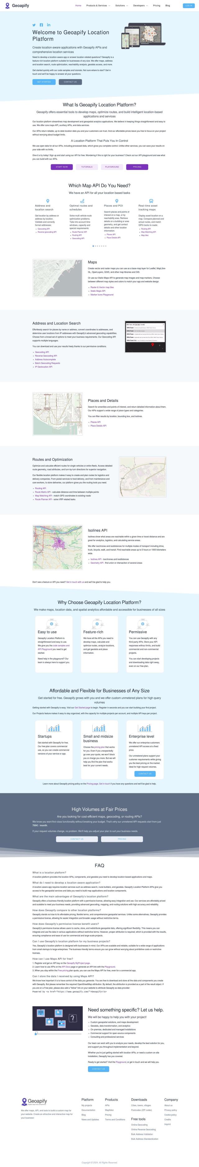
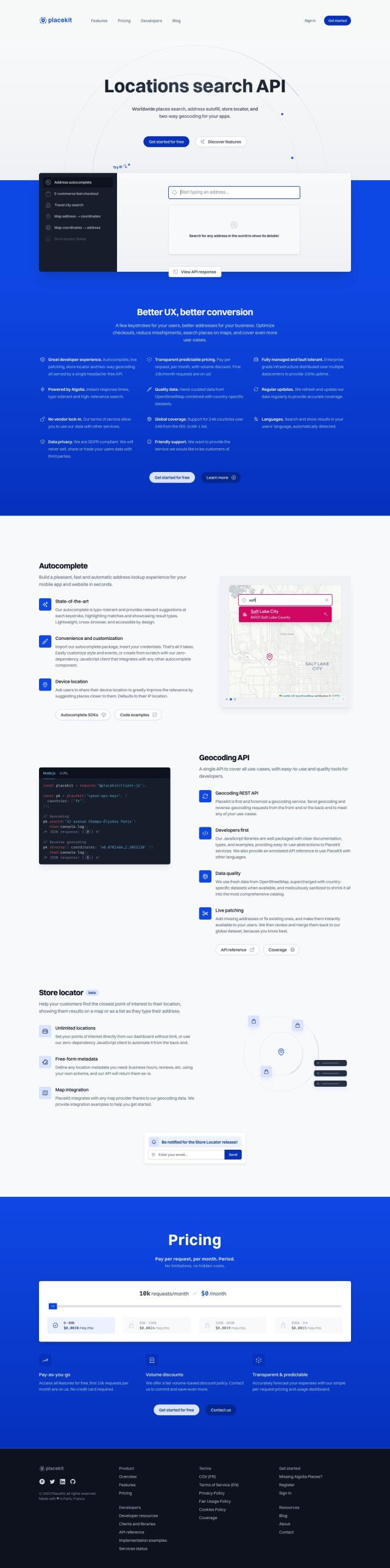
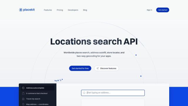
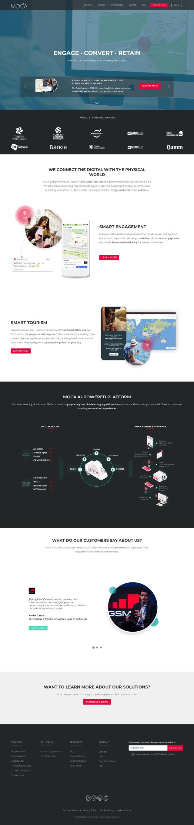
Geoapify
Last, Geoapify offers a full location platform with APIs for mapping, geocoding, route optimization and spatial analysis. It offers customizable maps, address and location search and route optimization, giving you full control over the data that's generated. Geoapify offers flexible pricing, including a free plan with 3,000 credits per day, so it's good for a range of users.