Question: I'm looking for a solution that provides accurate and reliable transit data for informed decision-making in urban mobility planning.

INRIX screenshot thumbnail

INRIX

If you need a more comprehensive transit data offering, INRIX could be a good option. It has a suite of tools based on 50 petabytes of rich transportation data designed to help improve urban mobility with real-time traffic, crash data, safety alerts, parking data, signal analytics and other data. That could help you get a better sense of traffic patterns and make more informed decisions.
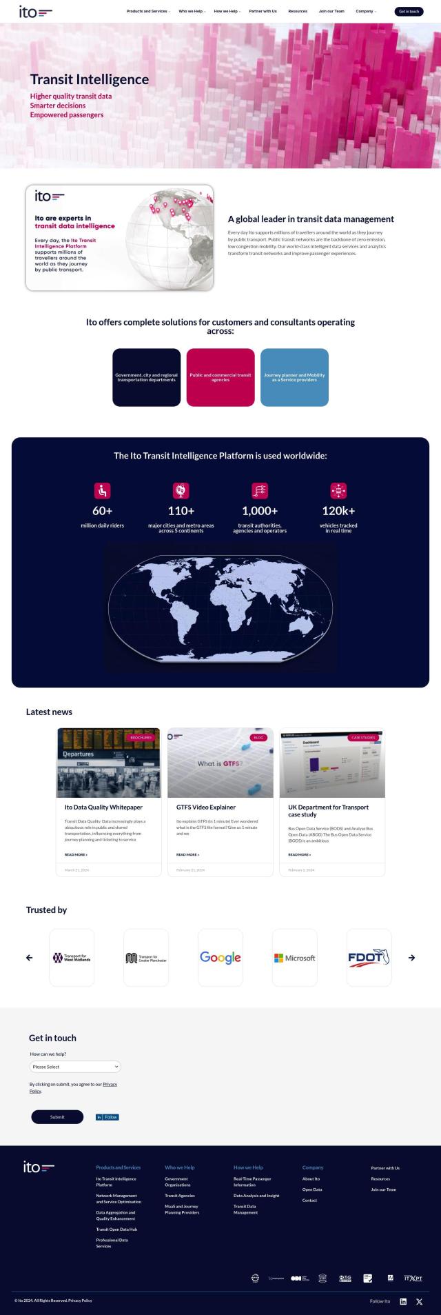
Ito screenshot thumbnail

Ito

Another good option is Ito, which consolidates public transportation data from more than 1,000 transit agencies in 110 cities. Ito offers intelligent data services and analytics to improve passenger experience and network performance. It also offers data feeds and APIs to help you integrate with other systems and ensure good transit data.
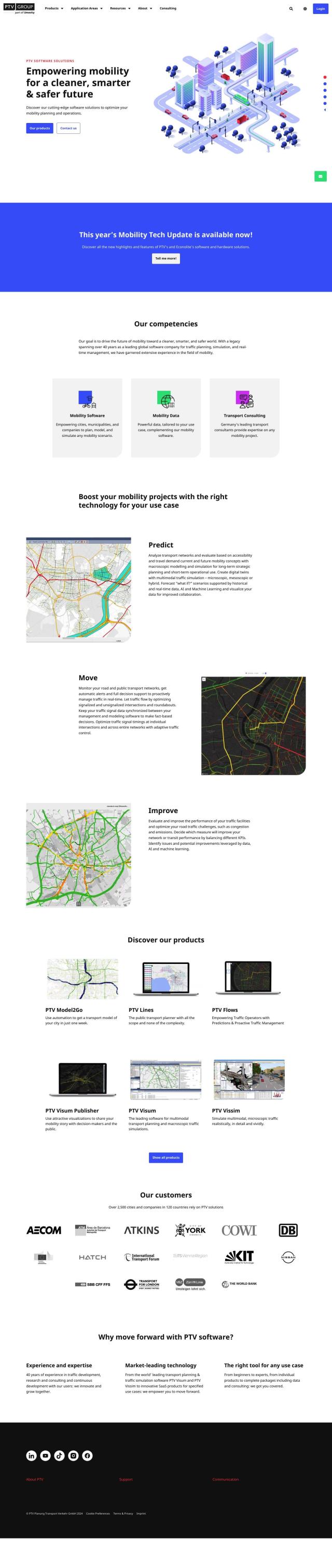
PTV Group screenshot thumbnail

PTV Group

If you need a more general mobility offering, check out PTV Group. It has a range of products for planning, simulation and real-time management, including Predict, Move and Improve. PTV Group's tools are geared to help cities and companies plan and optimize traffic infrastructure, so it's a good option for a variety of mobility projects.

Mapbox screenshot thumbnail

Mapbox

Finally, Mapbox offers a location intelligence platform with customizable maps, advanced navigation and rich geospatial data. It's used by industry heavyweights and has plenty of resources to help you get up and running. The platform can help you add live-updating data and advanced routing engines to your urban mobility plans.

Additional AI Projects

MapmyIndia screenshot thumbnail

MapmyIndia

Seamlessly navigate and optimize last-mile operations with integrated navigation, route planning, and location intelligence solutions powered by India's best maps.

Arity screenshot thumbnail

Arity

Analyzes trillions of miles of driving data to provide actionable insights for insurers, marketers, and communities, enabling personalized services and targeted solutions.

Google Maps Platform screenshot thumbnail

Google Maps Platform

Unlock location-based insights and enhance user experiences with customizable, real-time maps, routes, and geospatial data for informed decision-making.

Esri screenshot thumbnail

Esri

Uncover hidden patterns and drive predictive modeling with spatial analytics and machine learning, combining location-based data for innovative insights.

Xovis screenshot thumbnail

Xovis

Provides real-time people tracking data and customized solutions to optimize resources, space, and operations across various industries.

CARTO screenshot thumbnail

CARTO

Analyze and visualize spatial data at any scale with native cloud integration, intuitive drag-and-drop interface, and built-in GenAI capabilities.

Radar screenshot thumbnail

Radar

Radar combines geofencing, geocoding, and mapping for accurate, cost-effective location-based experiences.

Geoapify screenshot thumbnail

Geoapify

Build location-based apps with ease using a suite of APIs for mapping, geocoding, route optimization, and spatial analytics, with flexible pricing and no data restrictions.

Mojio screenshot thumbnail

Mojio

Unlocks the full potential of car data monetization, providing actionable insights and services for a smarter, safer, and more convenient car ownership experience.

Omnitracs screenshot thumbnail

Omnitracs

Combines fleet management expertise with AI and machine learning to provide actionable insights, optimize business performance, and improve driver satisfaction and safety.

Nearmap screenshot thumbnail

Nearmap

Transforms high-resolution aerial imagery into actionable insights with AI predictions, 3D modeling, and geospatial tools for informed business decisions.

Geotab screenshot thumbnail

Geotab

Leverage AI-driven insights and recommendations to optimize fleet operations, improve safety, and reduce emissions, while automating compliance and increasing productivity.

Fleet Complete screenshot thumbnail

Fleet Complete

Combines telematics, GPS tracking, and AI-powered dash cameras to optimize fleet efficiency, safety, compliance, and sustainability with real-time insights and data visualizations.

Cambridge Mobile Telematics screenshot thumbnail

Cambridge Mobile Telematics

Analyzes hundreds of billions of miles of driving data to provide a complete picture of vehicle and driver behavior, promoting safer driving and lower insurance rates.

Wemap screenshot thumbnail

Wemap

Build interactive maps with augmented reality, indoor and outdoor navigation, and search capabilities for web and mobile applications.

Transfinder screenshot thumbnail

Transfinder

Optimizes school bus routes, streamlines operations, and enhances safety through AI-powered route planning, real-time tracking, and predictive analysis.

Groundhog Technologies screenshot thumbnail

Groundhog Technologies

Unlock deep insights into subscriber mobility and behavior, enabling operators to optimize network performance and monetize their unique data through targeted advertising.

Teletrac Navman screenshot thumbnail

Teletrac Navman

Unify fleet operations with a single platform, tracking and optimizing vehicles, equipment, and drivers in real-time, improving safety, efficiency, and performance.

Unearth Insights screenshot thumbnail

Unearth Insights

Access a unified suite of location data and analytics tools, powered by an AI co-pilot, to uncover insights and drive business decisions faster.

Sentiance screenshot thumbnail

Sentiance

Provides real-time driving insights, crash detection, and mobility analysis to improve road safety, reduce risks, and promote sustainable transportation.