Question: I'm looking for a solution that provides accurate positioning data for my robotics project, can you help?
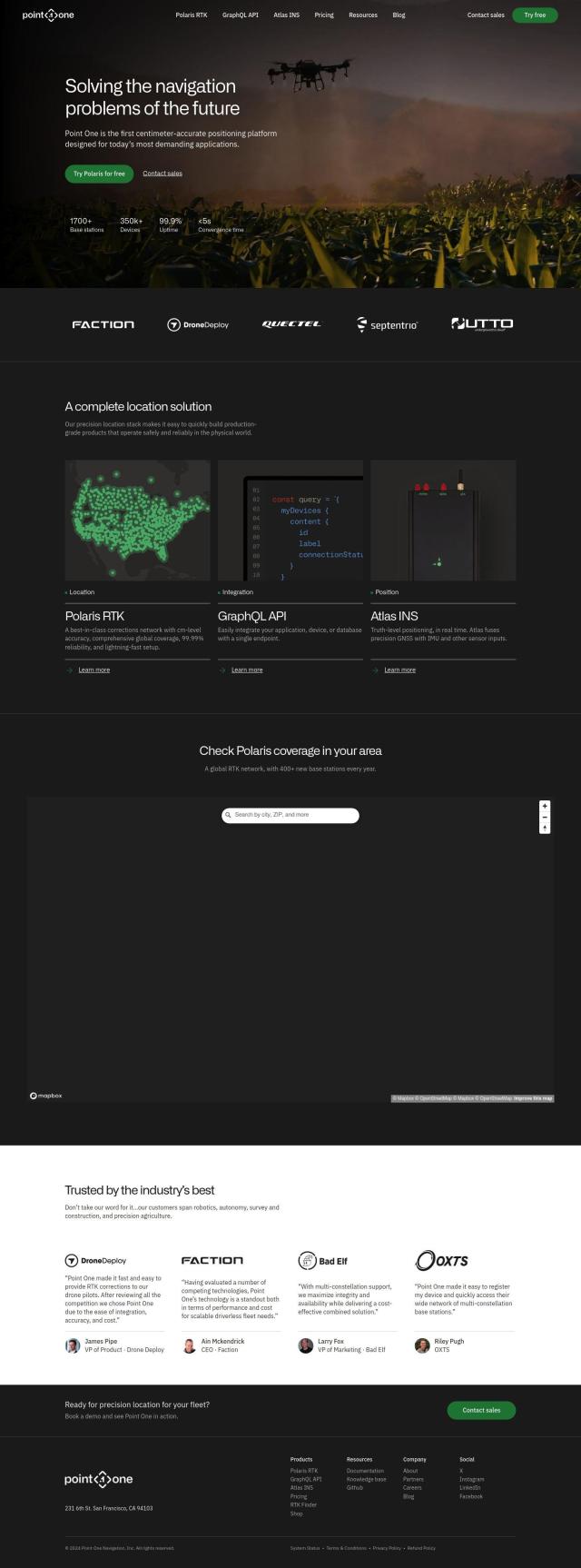
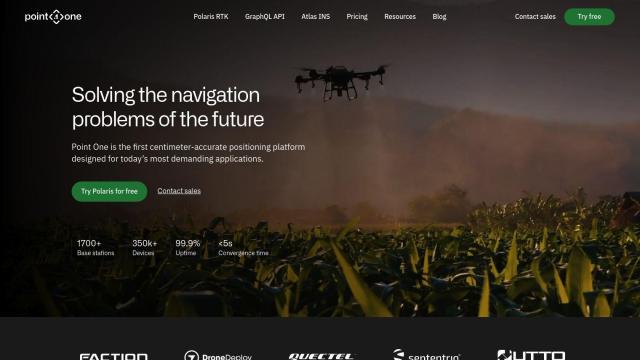
Point One screenshot thumbnail

Point One

If you need a service that offers positioning data your robotics project can rely on, Point One has a precision location stack that offers centimeter-accurate, globally referenced position information. The service includes Polaris RTK, Atlas INS and a GraphQL API for easy integration, and is designed for navigation challenges in robotics and other areas. It offers real-time observability and advanced device management, with pricing tiers to accommodate different needs.

Radar screenshot thumbnail

Radar

Another powerful option is Radar, an all-in-one location platform that focuses on accuracy, privacy and developer experience. It offers hyper-accurate geofencing, powerful mapping and strong enterprise-grade privacy controls. Radar also offers a free plan for up to 100,000 API calls, so it's a good option for smaller projects, but its tiered pricing plans accommodate larger ones.

Mapbox screenshot thumbnail

Mapbox

If you want a more flexible option, Mapbox offers APIs and SDKs for building interactive maps and advanced navigation. It offers live-updating data, traffic-aware travel times and precise location search, backed by global data from more than half a billion monthly active users. That makes it a good option for connected navigation and smart location features.

Geoapify screenshot thumbnail

Geoapify

And then there's Geoapify, a full location platform that offers APIs for mapping, geocoding, route optimization and spatial analysis. It uses open data sources to deliver results, and developers can build custom maps, optimize routes and analyze spatial data without limits on storage or redistribution. Its tiered pricing plans, including a free option, means it's good for a variety of uses.

Additional AI Projects

PIX4D screenshot thumbnail

PIX4D

Converts images into accurate maps and 3D models for analysis, inspections, and measurements, with survey-grade accuracy and georeferencing.

Foxglove screenshot thumbnail

Foxglove

Visualize and inspect multimodal data, including 3D scenes, images, and diagnostics, to accelerate robotics development and streamline data analysis.

Roboto screenshot thumbnail

Roboto

Processes and searches massive-scale log data from robots and devices with AI-powered search, filtering, and custom actions for intelligent data management.

DroneDeploy screenshot thumbnail

DroneDeploy

Combines data from multiple sources, including drones and cameras, into one platform, automating capture and extracting insights with AI for informed decision-making.

FlyPix screenshot thumbnail

FlyPix

Detect, localize, track, and monitor objects across industries with advanced AI models, generating actionable, geo-referenced insights from complex imagery.

Esri screenshot thumbnail

Esri

Uncover hidden patterns and drive predictive modeling with spatial analytics and machine learning, combining location-based data for innovative insights.

Wemap screenshot thumbnail

Wemap

Build interactive maps with augmented reality, indoor and outdoor navigation, and search capabilities for web and mobile applications.

MapmyIndia screenshot thumbnail

MapmyIndia

Seamlessly navigate and optimize last-mile operations with integrated navigation, route planning, and location intelligence solutions powered by India's best maps.

Skydio screenshot thumbnail

Skydio

Capture detailed data in challenging environments with AI-powered autonomous drones, featuring ultra-high resolution cameras and obstacle avoidance.

Polymath Robotics screenshot thumbnail

Polymath Robotics

Simplifies autonomous navigation for industrial off-highway vehicles, enabling easy automation without extensive robotics expertise.

CARTO screenshot thumbnail

CARTO

Analyze and visualize spatial data at any scale with native cloud integration, intuitive drag-and-drop interface, and built-in GenAI capabilities.

Google Maps Platform screenshot thumbnail

Google Maps Platform

Unlock location-based insights and enhance user experiences with customizable, real-time maps, routes, and geospatial data for informed decision-making.

Hexagon screenshot thumbnail

Hexagon

Combines sensor, software, and autonomous technologies to increase efficiency, reduce waste, and improve sustainability across industries through data-driven digital reality solutions.

Trackunit screenshot thumbnail

Trackunit

Connects people, machines, and processes to minimize downtime, optimize operations, and increase productivity in the construction industry.

EasyAR screenshot thumbnail

EasyAR

Enables developers to build augmented reality experiences with features like spatial mapping, motion tracking, and image recognition, with flexible toolchains for rapid development.

Geotab screenshot thumbnail

Geotab

Leverage AI-driven insights and recommendations to optimize fleet operations, improve safety, and reduce emissions, while automating compliance and increasing productivity.

Nearmap screenshot thumbnail

Nearmap

Transforms high-resolution aerial imagery into actionable insights with AI predictions, 3D modeling, and geospatial tools for informed business decisions.

Placekey screenshot thumbnail

Placekey

Assigns a unique identifier to any physical location, standardizing address information for easy data sharing and integration across organizations.

Mappedin screenshot thumbnail

Mappedin

Create interactive 3D indoor maps with AI-assisted tools, automated navigation, and content enrichment, and share them across various devices and formats.

AI Clearing screenshot thumbnail

AI Clearing

Generates 3D site reports with 100% site coverage, providing accurate and efficient progress monitoring, reducing re-work costs and litigation risks.