Meteomatics Alternatives

Access global high-resolution weather, ocean, environment, and climate data through a comprehensive API, including historical, real-time, and forecast data up to 2100.
Tomorrow.io screenshot thumbnail

Tomorrow.io

If you're looking for another Meteomatics alternative, Tomorrow.io is worth a look. It offers hyper-accurate weather data and forecasts, including real-time data, weather forecast API, historical weather API, and probabilistic forecasting. The service is geared for companies trying to manage weather risks and make more proactive decisions, so it's good for supply chain management and disaster recovery.

Atmo screenshot thumbnail

Atmo

Another contender is Atmo, an AI-based weather forecasting service that combines global weather data from many sources into hyper-local forecasts with high accuracy. It can generate forecasts up to 40,000 times faster and 100 times more detailed than conventional models, and it's geared for government and enterprise customers, particularly for microclimates.
Weather Machine screenshot thumbnail

Weather Machine

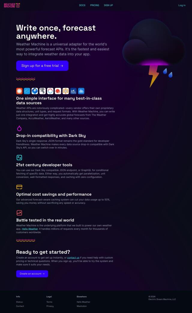
If you're a developer or business that wants to use weather data in your app without having to juggle multiple APIs, Weather Machine is worth a look. It combines data from multiple forecast APIs into a single interface, with advanced forecast-aware caching and low price tiers. That can be good for developers and businesses that need forecasts and want to avoid data bloat.
Pirate Weather screenshot thumbnail

Pirate Weather

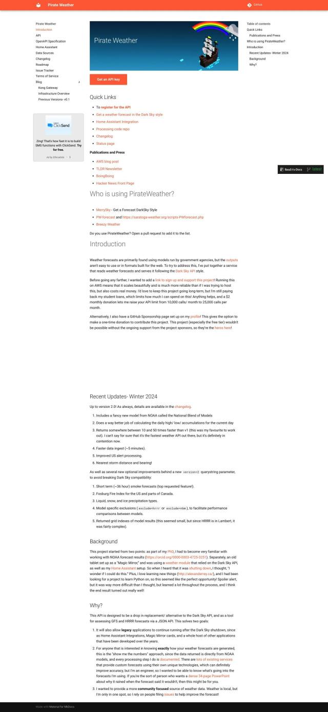
Last, Pirate Weather offers transparent and detailed weather forecasts based on raw model data from government agencies. It can handle multiple model sources and includes features like sub-hourly forecasts and precipitation types. That makes it good for applications that need raw, unprocessed forecast data, like precision agriculture or aviation.

More Alternatives to Meteomatics

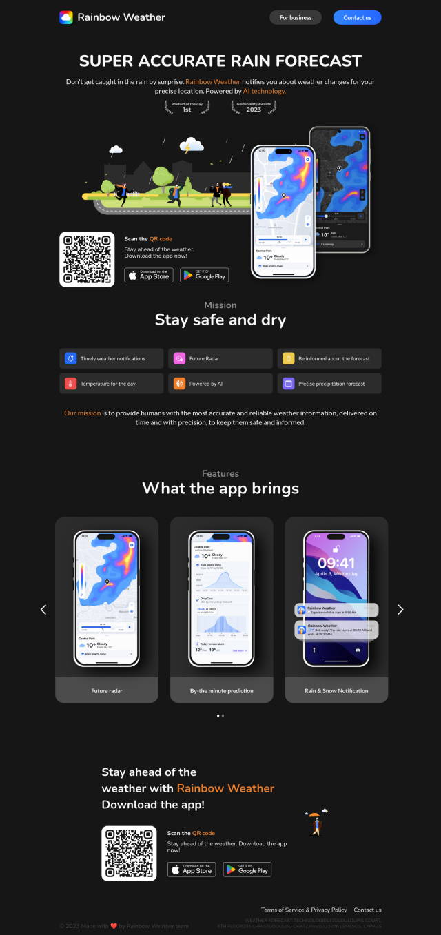
Rainbow screenshot thumbnail

Rainbow

Provides hyperlocal weather forecasts with minute-by-minute updates for 1x1 km areas, enabling businesses to make informed decisions and optimize operations.

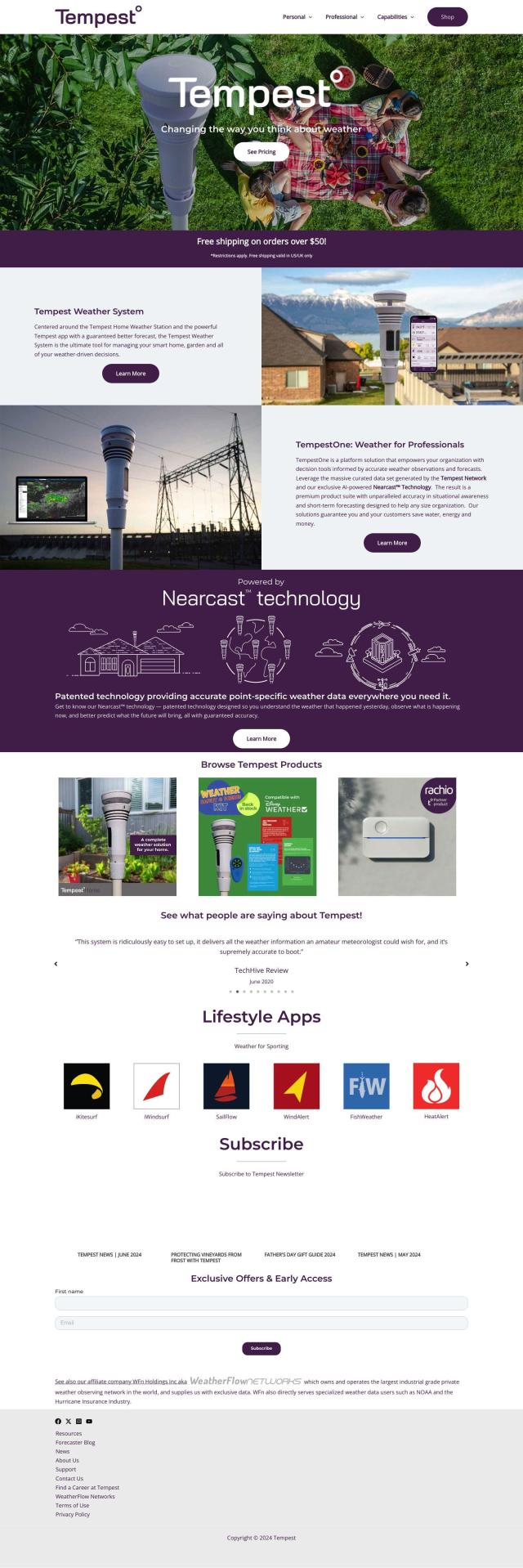
Tempest screenshot thumbnail

Tempest

Provides hyperlocal, AI-driven weather forecasts with guaranteed accuracy, empowering informed decisions for daily life and business operations.

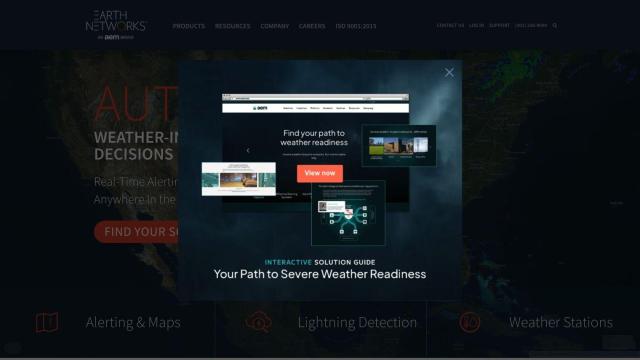
Earth Networks screenshot thumbnail

Earth Networks

Provides real-time weather alerting and lightning detection with high location accuracy, enabling businesses to make informed decisions about weather-related safety.

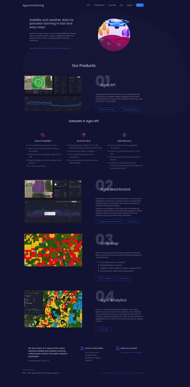
Agromonitoring screenshot thumbnail

Agromonitoring

Provides precision farming insights through satellite imagery, vegetation indices, and weather data, empowering data-driven crop management and decision-making.

EOSDA screenshot thumbnail

EOSDA

Utilizes satellite data and machine learning to provide actionable insights for sustainable agriculture and forestry, enabling data-driven decision making and reduced waste.

Mapbox screenshot thumbnail

Mapbox

Create customizable, interactive maps with live-updating data and advanced navigation features for web, mobile, automotive, and AR applications.

Nearmap screenshot thumbnail

Nearmap

Transforms high-resolution aerial imagery into actionable insights with AI predictions, 3D modeling, and geospatial tools for informed business decisions.

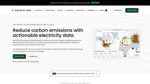
Electricity Maps screenshot thumbnail

Electricity Maps

Access real-time, historical, and forecasted carbon intensity data for 230+ regions to inform energy decisions and reduce carbon footprint.

Weathermegood screenshot thumbnail

Weathermegood

Generates accurate weather forecasts for your trip based on current and historical data, helping you plan and prepare for your destination's weather.

Abstract screenshot thumbnail

Abstract

Access a broad collection of APIs for IP geolocation, company enrichment, exchange rates, weather data, and more to improve user experiences and automate workflows.

FlightAware screenshot thumbnail

FlightAware

Access real-time, predictive, and historical aviation data for informed decision-making and integration.
Climate FieldView screenshot thumbnail

Climate FieldView

Analyze field data in real-time to optimize crop yields and profitability, making informed decisions with actionable insights.

Sentinel Hub screenshot thumbnail

Sentinel Hub

Access a unified API for satellite imagery from multiple sources, with features for data exploration, custom scripting, and analysis, and global coverage at various scales.

Geoapify screenshot thumbnail

Geoapify

Build location-based apps with ease using a suite of APIs for mapping, geocoding, route optimization, and spatial analytics, with flexible pricing and no data restrictions.

Enverus screenshot thumbnail

Enverus

Access real-time analytics, insights, and benchmark data, accelerated by generative AI, to inform investment decisions and optimize energy project operations.

Metaculus screenshot thumbnail

Metaculus

Collectively make accurate predictions about future real-world events by pooling knowledge, expertise, and intelligence across four key areas: biosecurity, AI progress, nuclear security, and climate change.

ePlant screenshot thumbnail

ePlant

Remotely monitor tree health and environmental conditions with long-range wireless sensors, tracking growth, stress, and weather patterns for data-driven decisions.

CARTO screenshot thumbnail

CARTO

Analyze and visualize spatial data at any scale with native cloud integration, intuitive drag-and-drop interface, and built-in GenAI capabilities.