
EOSDA
If you're looking for a Cropwise alternative, EOSDA is a good choice. EOSDA combines satellite imagery with machine learning algorithms to offer insights for precision agriculture and forestry. Its tools include crop monitoring, yield forecasting, soil moisture analysis and carbon modeling to help farmers and foresters increase profitability and reduce waste. The platform is a collection of geospatial data analytics tools that can help you make decisions based on data.
Agromonitoring
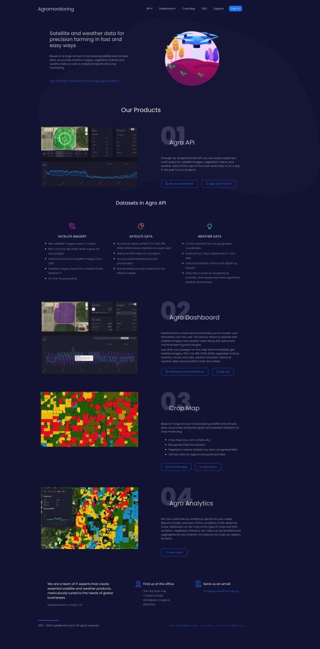
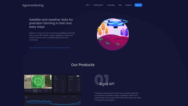
Another good option is Agromonitoring. The service offers satellite and weather data to help you manage crops. It includes tools like Agro API for incorporating satellite imagery and weather data into your projects, Agro Dashboard for monitoring in real time, Crop Map for detailed crop reports and Agro Analytics for detailed crop condition analysis. Agromonitoring offers current satellite imagery updated every 2-4 days and historical archives, which is useful for farmers and agricultural developers.


Hexagon
If you want to take a more technologically advanced approach, Hexagon combines sensor, software and autonomous technologies to transform industries. Its digital reality offerings include autonomy, data management and real-time collaboration tools that can dramatically improve efficiency and sustainability in agriculture. Hexagon's platforms are designed to help customers like farmers and agribusinesses make better decisions and optimize their operations.

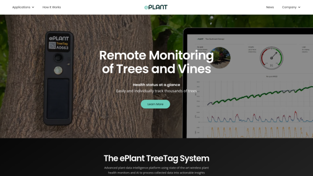
ePlant
Last, ePlant uses wireless sensors and AI to turn plant growth and environmental data into insights. With tools like TreeTag that monitor individual tree health, ePlant can help you reduce site visits and make data-driven decisions in precision agriculture and forestry. The system is geared for customers who need real-time sensor measurements and a user-friendly Data Portal for data visualization.

