Cropwise
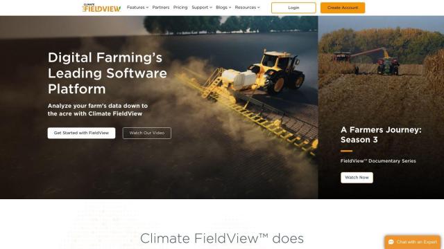
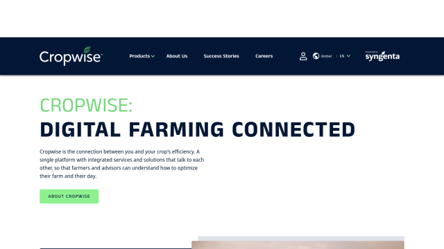
If you're looking for a Climate FieldView alternative, Cropwise is a good choice. This digital platform offers a suite of services to help optimize farming operations and crop performance. It includes real-time field monitoring, crop health monitoring through imagery, personalized seed recommendations, and more. Cropwise is available worldwide and has helped farmers cut rework and increase crop yields by making data-driven decisions.


EOSDA
Another good alternative is EOSDA, a geospatial data analytics platform that uses satellite imagery and machine learning to help with agriculture and forestry. It offers crop monitoring, yield forecasting, soil moisture analysis, and carbon modeling, among other tools to help you increase profitability and cut waste. EOSDA has worked with several customers and offers custom pricing, so it's a flexible option for sustainable decision making.
Agromonitoring
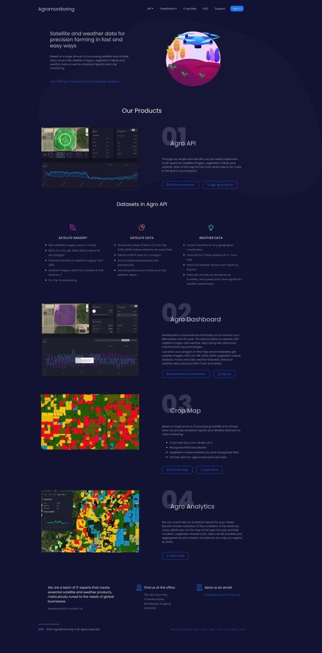
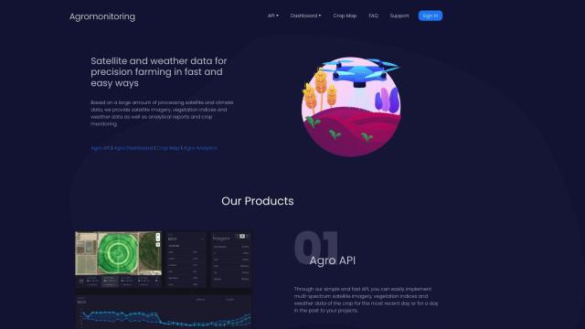
Agromonitoring is another option. This precision farming service provides satellite and weather data to improve crop management. It includes tools like Agro API for satellite imagery and weather data integration, Agro Dashboard for field monitoring, and customizable crop condition analysis. With tiered pricing and a lot of data available, Agromonitoring is good for farmers and agribusinesses that want to improve their decision making.
PIX4D
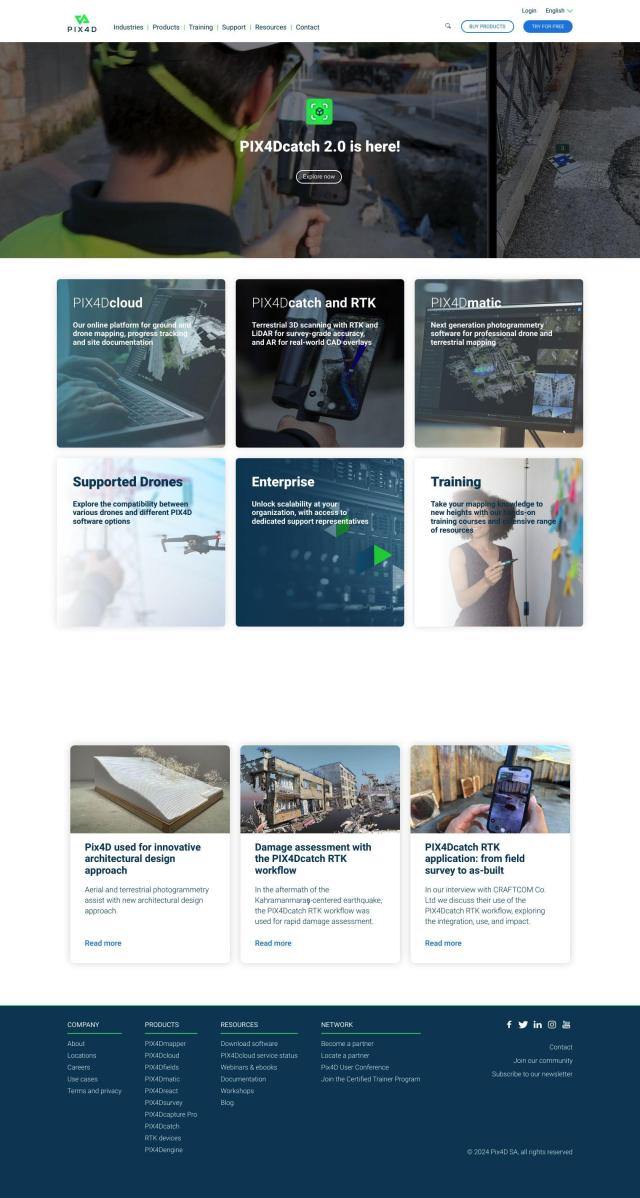
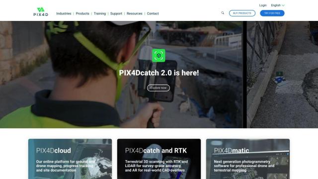
Last, PIX4D offers photogrammetry software that captures, processes and analyzes drone and camera imagery to create detailed maps and 3D models. PIX4D's software includes tools for precision agriculture, like PIX4Dfields, which provides detailed crop monitoring and mapping. That can be useful for farmers and ag professionals who need high-end, detailed data visualization.

