Airly Alternatives

Provides real-time hyperlocal air quality data, empowering governments and businesses to make data-driven decisions to decrease emissions and protect citizens' health.
Data Commons screenshot thumbnail

Data Commons

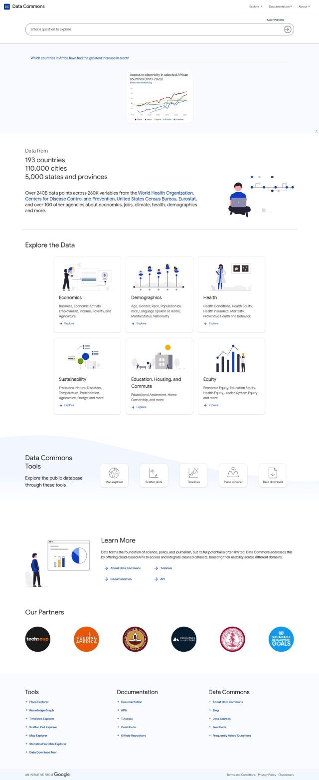
If you're looking for an alternative to Airly, there are several options that offer comprehensive air quality monitoring and control solutions. One notable option is Data Commons, which provides a public repository of data aggregated from over 193 countries. This service is particularly useful for exploring and visualizing air quality data, offering tools like a map explorer, scatter plots, timelines, and a place explorer. With 240 billion data points and 260,000 variables, it's an excellent resource for anyone needing detailed environmental data.

INRIX screenshot thumbnail

INRIX

Another strong alternative is INRIX, which focuses on improving urban mobility through rich transportation data. While primarily centered on traffic management, INRIX offers real-time traffic data and crash data, which can be useful for understanding air quality in urban areas. Their generative AI technology, Compass, helps cities, carmakers, and transportation agencies make better-informed decisions about traffic flow and safety.

Atmo screenshot thumbnail

Atmo

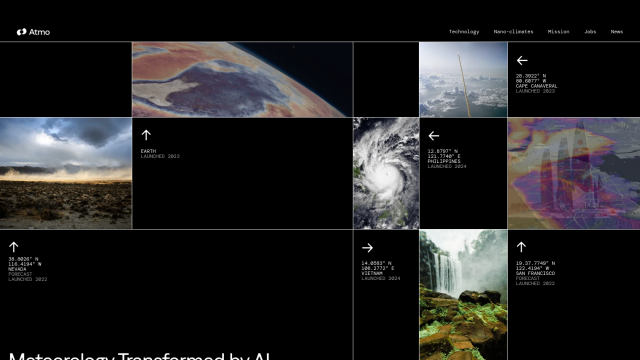
For those interested in hyper-local weather forecasting, Atmo is a powerful tool. Using deep learning models and global weather data, Atmo provides hyper-local forecasts with unprecedented speed and detail, making it an excellent choice for those needing granular weather insights for air quality monitoring and control.

Earth Networks screenshot thumbnail

Earth Networks

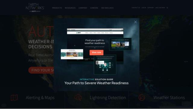
Lastly, Earth Networks offers a real-time weather alerting and lightning detection system that could be beneficial for supporting weather-related safety measures in conjunction with air quality monitoring. This platform provides high-location accuracy and low false alarm rates, which can help mitigate weather-related risks and optimize operational uptime.

More Alternatives to Airly

Nearmap screenshot thumbnail

Nearmap

Transforms high-resolution aerial imagery into actionable insights with AI predictions, 3D modeling, and geospatial tools for informed business decisions.

VelocityEHS screenshot thumbnail

VelocityEHS

Leverage AI-powered predictive capabilities to anticipate EHS & ESG problems, prevent errors, and protect the bottom line with global visibility and expert guidance.

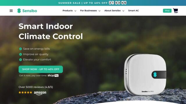
Sensibo Smart Home Climate Control screenshot thumbnail

Sensibo Smart Home Climate Control

Control your air conditioner or heat pump from your phone, anywhere, anytime.

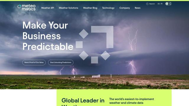
Meteomatics screenshot thumbnail

Meteomatics

Access global high-resolution weather, ocean, environment, and climate data through a comprehensive API, including historical, real-time, and forecast data up to 2100.

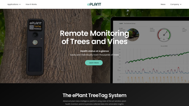
ePlant screenshot thumbnail

ePlant

Remotely monitor tree health and environmental conditions with long-range wireless sensors, tracking growth, stress, and weather patterns for data-driven decisions.

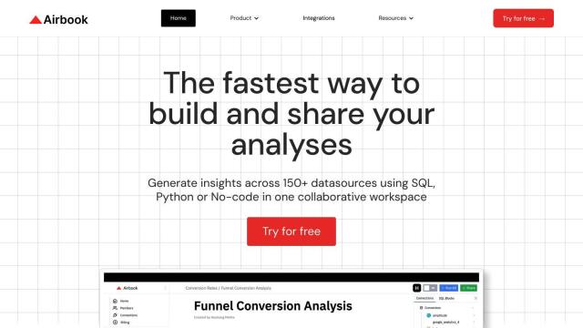
Airbook screenshot thumbnail

Airbook

Accelerate data analysis and insights generation across teams with native connectors to 150+ data sources, collaborative querying, and visualization tools.

BirdWeather screenshot thumbnail

BirdWeather

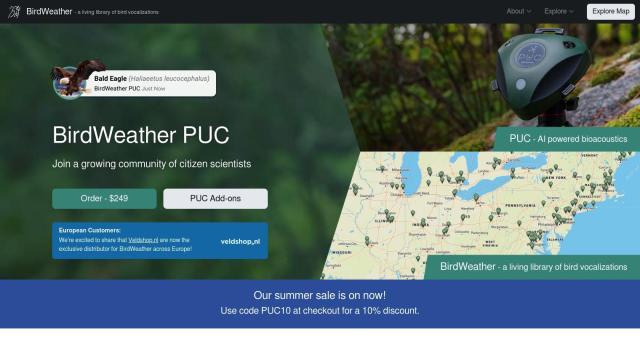
Identify and classify over 6,000 bird species in real-time using a portable, weatherproof recorder and cloud-based automatic processing.

Placer.ai screenshot thumbnail

Placer.ai

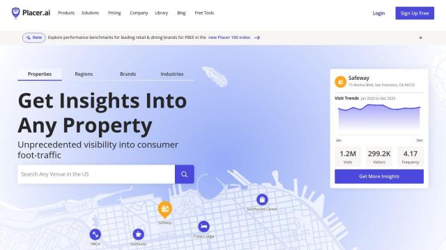
Gain unprecedented visibility into consumer behavior, track migration patterns, and uncover market trends with actionable data-driven insights for informed business decisions.

Altmetric screenshot thumbnail

Altmetric

Track and analyze online attention to research, beyond traditional citation counts, instantly.

Lantronix screenshot thumbnail

Lantronix

Collect, connect, compute, comprehend, and control IoT devices with secure, scalable solutions for data ingestion, analysis, and remote management.

Metaculus screenshot thumbnail

Metaculus

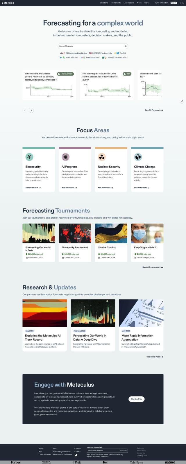
Collectively make accurate predictions about future real-world events by pooling knowledge, expertise, and intelligence across four key areas: biosecurity, AI progress, nuclear security, and climate change.

Mapbox screenshot thumbnail

Mapbox

Create customizable, interactive maps with live-updating data and advanced navigation features for web, mobile, automotive, and AR applications.

CARTO screenshot thumbnail

CARTO

Analyze and visualize spatial data at any scale with native cloud integration, intuitive drag-and-drop interface, and built-in GenAI capabilities.

Tomorrow.io screenshot thumbnail

Tomorrow.io

Combines global spacecraft data, AI/ML models, and advanced forecasting to provide hyper-accurate weather information for any location, enabling proactive decision-making and resilience.