Question: Can you recommend a weather data provider that offers customizable alerts for critical weather events?

Meteomatics screenshot thumbnail

Meteomatics

If you want customizable weather alerts for severe weather, Meteomatics is worth a look. The company's weather and climate data service has a global, high-resolution data feed that's available at any time. The service also includes Weather Alerts that can be customized and a Weather Data Shop that lets you purchase specific data sets for download. Meteomatics' high-resolution European weather model at 1 km resolution is used by more than 600 companies for tasks like managing energy usage and sending crews to the right place.

Earth Networks screenshot thumbnail

Earth Networks

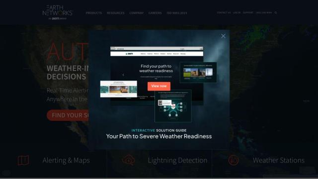
Another contender is Earth Networks, which focuses on real-time weather alerts and lightning detection. The service offers customizable email, text or mobile push notifications, 24/7 meteorological support and local weather data collection with weather stations. The service is designed to help you avoid weather-related problems and keep operations running as long as possible, and it's good for airport operations and parks and recreation.

Tomorrow.io screenshot thumbnail

Tomorrow.io

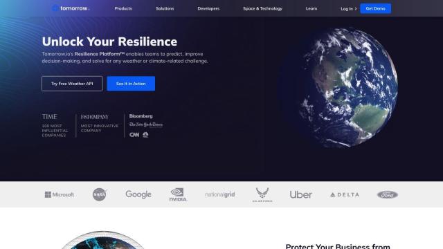
Tomorrow.io is a weather resilience platform that offers hyper-accurate weather data and forecasts. The service offers real-time weather data, a weather forecast API, a historical weather API and automated protocols to help you forecast and automate weather-related problems. It also offers notifications and email digests, and it's a good fit for supply chain management and disaster recovery.
Tempest screenshot thumbnail

Tempest

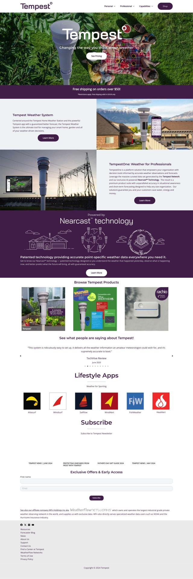
Last is Tempest, a weather information service that offers detailed, real-time weather observations and forecasts. The service uses an artificial intelligence-based technology called Nearcast Technology that offers detailed point forecasts based on weather stations, satellite and radar data. It can be customized with graphs and charts, and it can be integrated with smart home services, so it's good for personal and professional use.

Additional AI Projects

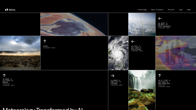
Atmo screenshot thumbnail

Atmo

Produces high-resolution, real-time weather forecasts with up to 50% greater accuracy and 40,000 times faster processing than traditional models.

Pirate Weather screenshot thumbnail

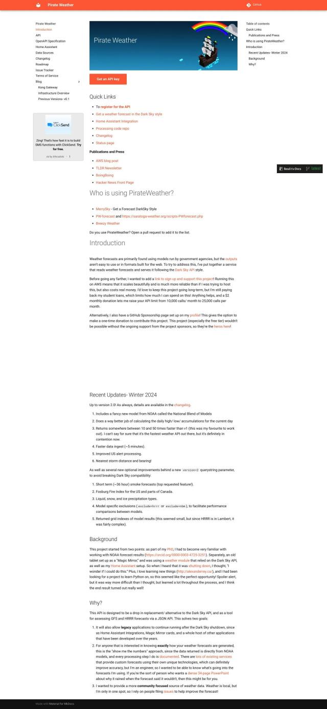
Pirate Weather

Access raw weather data from multiple NOAA models, including minute-by-minute forecasts, with customizable units, data blocks, and extended hourly data.

Rainbow screenshot thumbnail

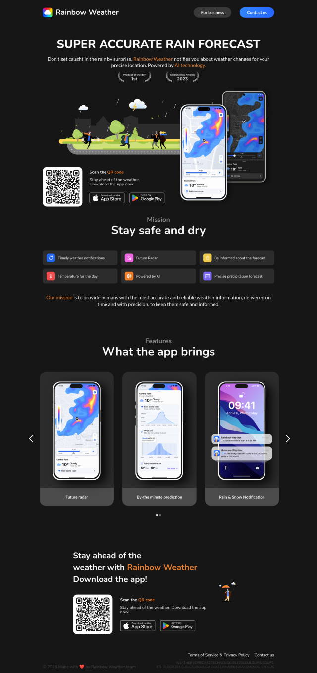
Rainbow

Provides hyperlocal weather forecasts with minute-by-minute updates for 1x1 km areas, enabling businesses to make informed decisions and optimize operations.

Weather Machine screenshot thumbnail

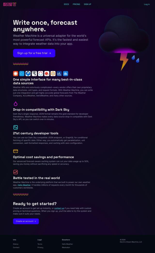
Weather Machine

Unifies weather data from multiple forecast APIs into a single adapter, providing a standardized interface for easy integration and accurate forecasts.

RapidSOS screenshot thumbnail

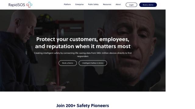
RapidSOS

Securely connects life-saving data from devices, apps, and sensors to 911 and first responders, providing critical information in emergency situations.

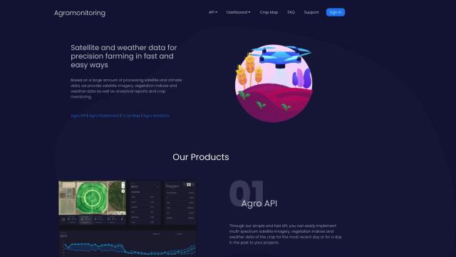
Agromonitoring screenshot thumbnail

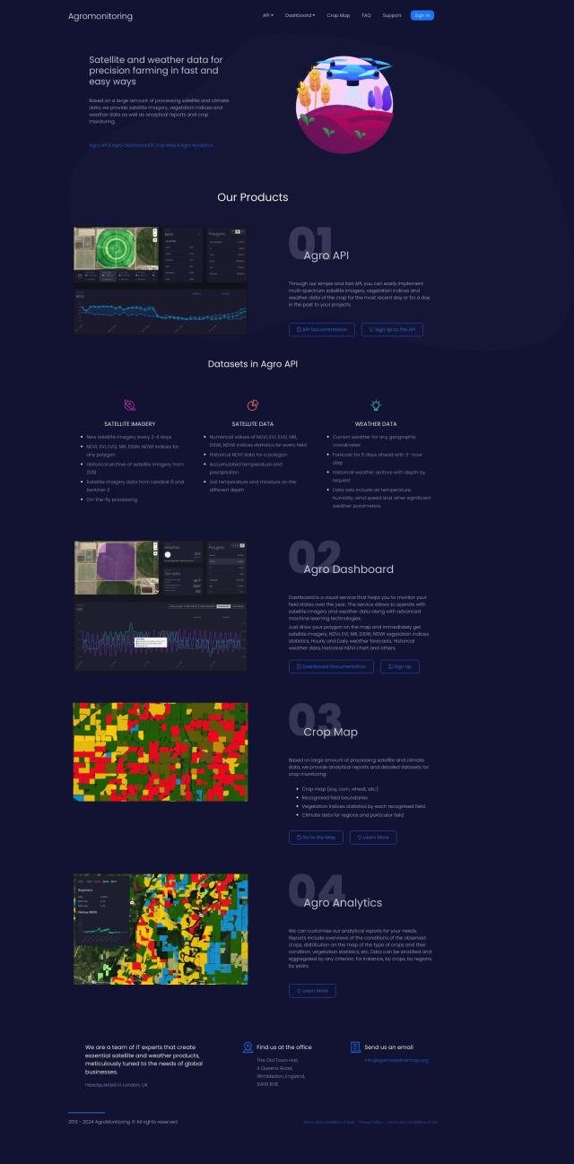
Agromonitoring

Provides precision farming insights through satellite imagery, vegetation indices, and weather data, empowering data-driven crop management and decision-making.

Mapbox screenshot thumbnail

Mapbox

Create customizable, interactive maps with live-updating data and advanced navigation features for web, mobile, automotive, and AR applications.

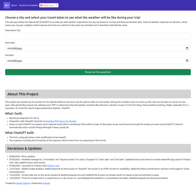
Weathermegood screenshot thumbnail

Weathermegood

Generates accurate weather forecasts for your trip based on current and historical data, helping you plan and prepare for your destination's weather.

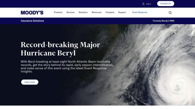
Moody's RMS screenshot thumbnail

Moody's RMS

Combines data, models, and expertise to address complex risk challenges, providing a unified and insightful view of risk for informed decision-making.

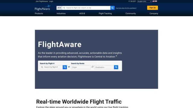
FlightAware screenshot thumbnail

FlightAware

Access real-time, predictive, and historical aviation data for informed decision-making and integration.

Nearmap screenshot thumbnail

Nearmap

Transforms high-resolution aerial imagery into actionable insights with AI predictions, 3D modeling, and geospatial tools for informed business decisions.

EOSDA screenshot thumbnail

EOSDA

Utilizes satellite data and machine learning to provide actionable insights for sustainable agriculture and forestry, enabling data-driven decision making and reduced waste.
Radar screenshot thumbnail

Radar

Radar combines geofencing, geocoding, and mapping for accurate, cost-effective location-based experiences.

CARTO screenshot thumbnail

CARTO

Analyze and visualize spatial data at any scale with native cloud integration, intuitive drag-and-drop interface, and built-in GenAI capabilities.

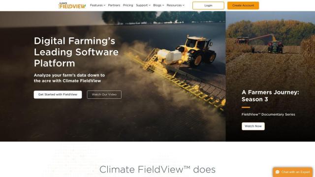
Climate FieldView screenshot thumbnail

Climate FieldView

Analyze field data in real-time to optimize crop yields and profitability, making informed decisions with actionable insights.

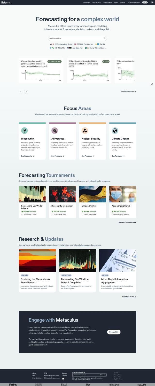
Metaculus screenshot thumbnail

Metaculus

Collectively make accurate predictions about future real-world events by pooling knowledge, expertise, and intelligence across four key areas: biosecurity, AI progress, nuclear security, and climate change.

Mosaik screenshot thumbnail

Mosaik

Delivers real-time news and insights across multiple topics and industries, using proprietary ML algorithms to turn information overload into actionable knowledge.

Mezmo screenshot thumbnail

Mezmo

Ingest, transform, and send telemetry data to control costs and drive actionability, correlating critical business data across multiple domains.

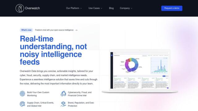
Overwatch screenshot thumbnail

Overwatch

Unifies intelligence feeds into a customizable, real-time operating system, providing intuitive visualizations and executive summaries to help organizations make informed decisions.

BirdWeather screenshot thumbnail

BirdWeather

Identify and classify over 6,000 bird species in real-time using a portable, weatherproof recorder and cloud-based automatic processing.