Question: Looking for a solution that can help my retail business visualize geospatial data and provide local information to customers.

CARTO screenshot thumbnail

CARTO

If you want to visualize geospatial data and offer location-based information to your customers, CARTO is a great option. It's a cloud-native location intelligence platform that makes it easy to analyze, visualize and build applications with spatial data at scale. With features like a drag-and-drop interface, more than 100 pre-built analysis components, built-in GenAI abilities and access to more than 12,000 geospatial datasets through the Data Observatory, CARTO is a great fit for retail businesses looking to improve their decision-making and customer experiences.

Google Maps Platform screenshot thumbnail

Google Maps Platform

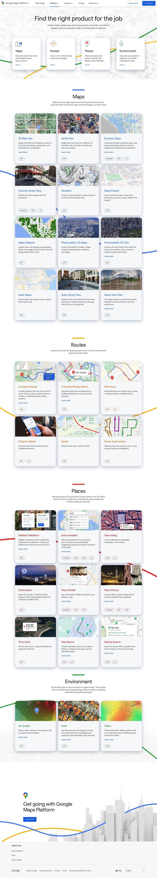
Another great option is the Google Maps Platform. This collection of products offers rich map data that businesses can use in their apps and websites. It's designed to help businesses build better user experiences and make better decisions, and it includes APIs and SDKs for industries including retail. With tools like the Aerial View API, Dynamic Maps, Compute Routes API and Geolocation API, businesses can offer location-based information, track assets, offer route optimization and visualize data. The free tier, with $200 per month usage, means it's available to smaller businesses, too.

Esri screenshot thumbnail

Esri

Esri is another option for retail businesses. Esri provides GIS mapping software and spatial analytics tools that marry location analytics with machine learning for competitive edge. With 3D visualization, location intelligence, GIS mapping and spatial analysis, Esri can help businesses make decisions in real time and predict what will happen in the future. It can be used for a variety of use cases, including retail site selection and supply chain optimization, so it's a good option for improving operations.

Mapbox screenshot thumbnail

Mapbox

Mapbox also offers a powerful location intelligence platform with customizable maps, advanced navigation and rich geospatial data. Its APIs and SDKs let developers build interactive maps with live updating data, advanced routing engines and precise location search. With access to global datasets based on more than a half billion monthly active users, Mapbox has a wealth of resources for developers and a simple way to integrate custom data, making it a good option for retail businesses looking to provide customers with a richer local experience.

Additional AI Projects

Nearmap screenshot thumbnail

Nearmap

Transforms high-resolution aerial imagery into actionable insights with AI predictions, 3D modeling, and geospatial tools for informed business decisions.

Geoapify screenshot thumbnail

Geoapify

Build location-based apps with ease using a suite of APIs for mapping, geocoding, route optimization, and spatial analytics, with flexible pricing and no data restrictions.

Unearth Insights screenshot thumbnail

Unearth Insights

Access a unified suite of location data and analytics tools, powered by an AI co-pilot, to uncover insights and drive business decisions faster.

MapmyIndia screenshot thumbnail

MapmyIndia

Seamlessly navigate and optimize last-mile operations with integrated navigation, route planning, and location intelligence solutions powered by India's best maps.

Spatial.ai screenshot thumbnail

Spatial.ai

Unlock deeper customer insights with behavioral segmentation tools, profiling social, mobile, and web behavior to inform targeted marketing and location strategies.

Placer.ai screenshot thumbnail

Placer.ai

Gain unprecedented visibility into consumer behavior, track migration patterns, and uncover market trends with actionable data-driven insights for informed business decisions.

Mappedin screenshot thumbnail

Mappedin

Create interactive 3D indoor maps with AI-assisted tools, automated navigation, and content enrichment, and share them across various devices and formats.

Placekey screenshot thumbnail

Placekey

Assigns a unique identifier to any physical location, standardizing address information for easy data sharing and integration across organizations.

Hexagon screenshot thumbnail

Hexagon

Combines sensor, software, and autonomous technologies to increase efficiency, reduce waste, and improve sustainability across industries through data-driven digital reality solutions.

Flybuy screenshot thumbnail

Flybuy

Provides accurate location intelligence, going beyond traditional geofence technology, to improve guest experience and streamline operations for various industries.

Bluedot screenshot thumbnail

Bluedot

Empowers apps to send targeted messages and automate tasks with 20x accurate location detection, down to five meters, for seamless customer experiences.

Loqate screenshot thumbnail

Loqate

Enhance address data quality and user experience with fast and accurate capture, verification, and geocoding technology for 249 countries and territories.

Adeptmind screenshot thumbnail

Adeptmind

AI-powered product search and recommendations personalize the customer experience, improving conversions and driving foot traffic for retail businesses.

ThoughtSpot screenshot thumbnail

ThoughtSpot

Ask complex data questions in natural language and get instant AI-powered insights, empowering informed business decisions without requiring SQL or data expertise.

Technologies for Positive Commerce screenshot thumbnail

Technologies for Positive Commerce

Digitize physical stores into efficient local fulfillment centers, optimizing costs and inventory with real-time insights and automated monitoring.

RELEX screenshot thumbnail

RELEX

Empowers businesses to make data-driven, autonomous, and adaptive operations decisions by synchronizing supply chain and retail operations with real demand.

RadiusAI screenshot thumbnail

RadiusAI

Combines VisionAI technology with adaptive checkout and inventory management systems to improve operations, customer satisfaction, and profitability in retail environments.

Digimarc screenshot thumbnail

Digimarc

Endow products with digital identities, enabling item-level serialization, real-time tracking, and centralized traceability for increased operational agility and sustainability.

Raydiant screenshot thumbnail

Raydiant

Combines digital content management, app marketplace, and customer analytics to create engaging in-location experiences across multiple screens and locations.

Hololink screenshot thumbnail

Hololink

Create engaging and immersive AR experiences with a drag-and-drop editor, empowering increased customer engagement and conversion rates across the customer journey.