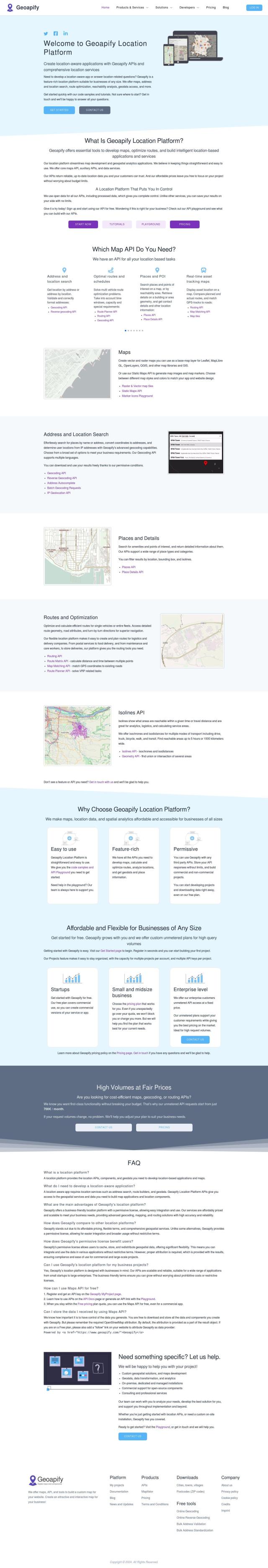
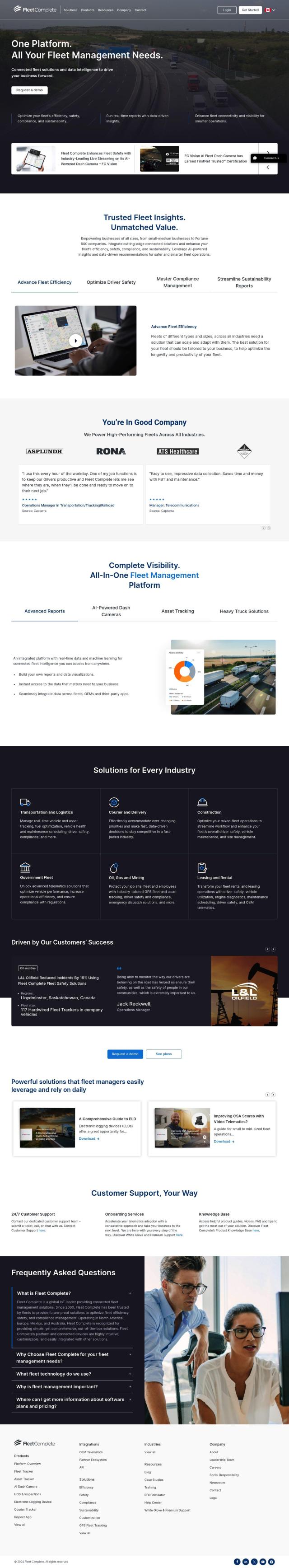
Question: Can you recommend a platform that provides real-time traffic data to optimize route planning and traffic management?


INRIX
If you need real-time traffic information for route planning and traffic management, INRIX is a good option. INRIX combines 50 petabytes of rich transportation data with generative AI to offer real-time traffic information, crash data, safety alerts, parking data and more. That information can help cities, automakers, transportation agencies and businesses understand traffic patterns and make more informed decisions to improve traffic flow and safety.


Mapbox
Another option is Mapbox, a location intelligence platform that offers customizable maps, advanced routing and up-to-the-minute data. It's got a lot of resources to help developers, and you can easily incorporate your own data. With features like traffic-aware travel times and precise location search, Mapbox is used by industry players for everything from connected navigation to data analysis.
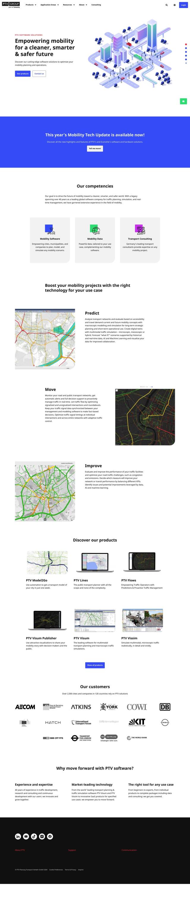
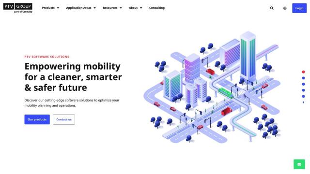
PTV Group
PTV Group has a variety of mobility products, including real-time traffic management and predictive traffic optimization. Its suite of products, like Predict and Move, lets cities and companies analyze and control their transportation networks. With experience in more than 2,500 cities and companies in 120 countries, PTV Group has a broad range of tools for any mobility project.
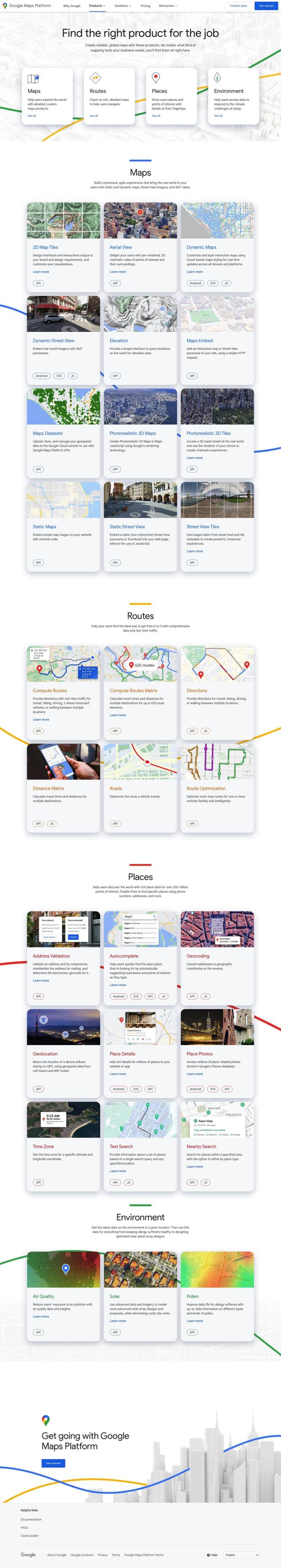
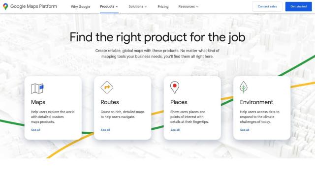
Google Maps Platform
Google Maps Platform offers a broad range of APIs and SDKs for many industries, including transportation. It offers dynamic maps, route optimization and geolocation services to help businesses deliver better user experiences and make more informed decisions. With a free tier and detailed, custom visualization, Google Maps Platform is a good option for real-time traffic data and route optimization.