Question: Can you recommend a platform that helps cities and regions manage their public transportation data more efficiently?

Ito screenshot thumbnail

Ito

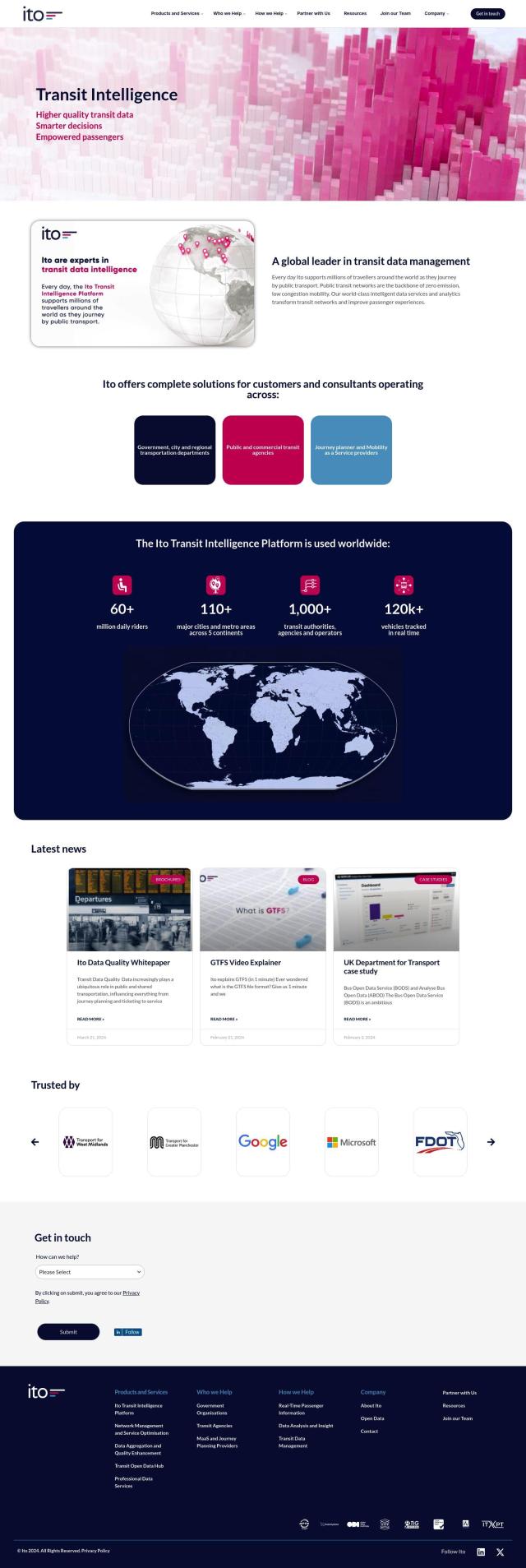
If you're looking for a broad platform to handle public transportation data, Ito is a strong contender. Ito collects data from more than 1,000 transit operators and agencies around the world and offers intelligent data services and analytics to optimize network performance, passenger information and vehicle tracking. Its algorithms are designed to ensure data quality and consistency, making it a good option for cities and regions wanting to improve their public transit.
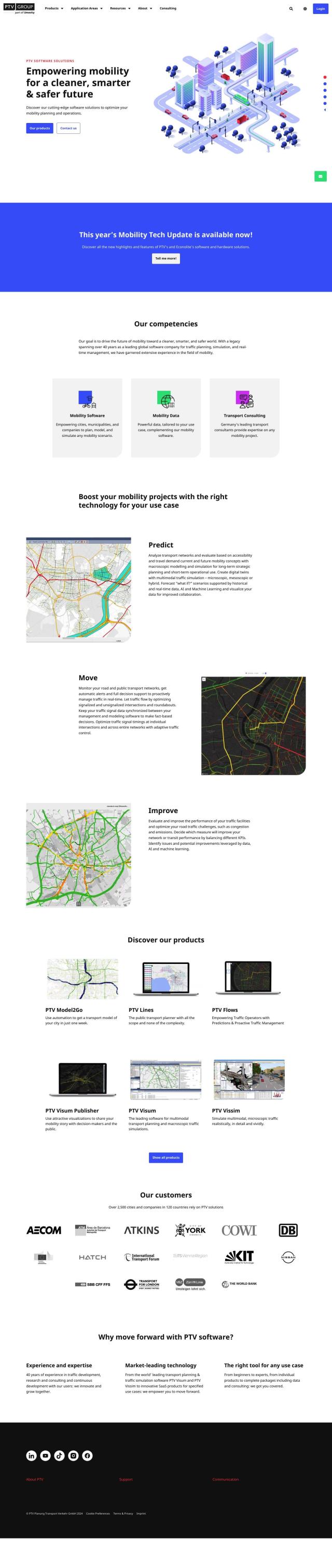
PTV Group screenshot thumbnail

PTV Group

Another strong contender is the PTV Group, which offers a variety of mobility products, including tools for real-time management and simulation. Its products like Predict, Move and Improve are designed to help cities plan, simulate and optimize their transportation networks. With operations around the world and a broad product suite, PTV Group can handle a wide range of mobility needs, from planning to real-time traffic management.

INRIX screenshot thumbnail

INRIX

If you're a city trying to improve urban mobility with real-time traffic information, INRIX has a broad set of products. With generative AI technology, INRIX offers data on traffic patterns, trip behavior and mobility patterns. With products like INRIX IQ and INRIX Mission Control, cities can make better decisions to improve traffic flow and safety, making it a good option for cities trying to optimize their transportation.
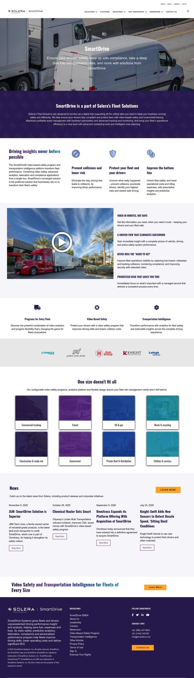
Omnitracs screenshot thumbnail

Omnitracs

Also worth a look is Omnitracs, which offers a broad set of fleet management products. Although geared for fleet operations, its route planning and optimization, safety tools and compliance management features could be used to improve public transportation operations. That makes Omnitracs a good option for improving the efficiency and safety of public transit.

Additional AI Projects

Geotab screenshot thumbnail

Geotab

Leverage AI-driven insights and recommendations to optimize fleet operations, improve safety, and reduce emissions, while automating compliance and increasing productivity.

Mapbox screenshot thumbnail

Mapbox

Create customizable, interactive maps with live-updating data and advanced navigation features for web, mobile, automotive, and AR applications.

Google Maps Platform screenshot thumbnail

Google Maps Platform

Unlock location-based insights and enhance user experiences with customizable, real-time maps, routes, and geospatial data for informed decision-making.

MapmyIndia screenshot thumbnail

MapmyIndia

Seamlessly navigate and optimize last-mile operations with integrated navigation, route planning, and location intelligence solutions powered by India's best maps.

Arity screenshot thumbnail

Arity

Analyzes trillions of miles of driving data to provide actionable insights for insurers, marketers, and communities, enabling personalized services and targeted solutions.

Fleet Complete screenshot thumbnail

Fleet Complete

Combines telematics, GPS tracking, and AI-powered dash cameras to optimize fleet efficiency, safety, compliance, and sustainability with real-time insights and data visualizations.

Xovis screenshot thumbnail

Xovis

Provides real-time people tracking data and customized solutions to optimize resources, space, and operations across various industries.

Mojio screenshot thumbnail

Mojio

Unlocks the full potential of car data monetization, providing actionable insights and services for a smarter, safer, and more convenient car ownership experience.

Lantronix screenshot thumbnail

Lantronix

Collect, connect, compute, comprehend, and control IoT devices with secure, scalable solutions for data ingestion, analysis, and remote management.

Teletrac Navman screenshot thumbnail

Teletrac Navman

Unify fleet operations with a single platform, tracking and optimizing vehicles, equipment, and drivers in real-time, improving safety, efficiency, and performance.

Samsara screenshot thumbnail

Samsara

Samsara's fleet operations platform connects cameras, sensors, and workflows for faster, more confident decisions.

LocoNav screenshot thumbnail

LocoNav

AI-powered video technology analyzes traffic, identifies safety risks, and provides real-time alerts to mitigate risks and ensure a safer, more efficient fleet.

Transfinder screenshot thumbnail

Transfinder

Optimizes school bus routes, streamlines operations, and enhances safety through AI-powered route planning, real-time tracking, and predictive analysis.

IntelliShift screenshot thumbnail

IntelliShift

Unifies telematics, AI dash cams, inspections, compliance, and maintenance tools in a single interface, providing fleet managers with a deeper understanding of their operations.

Lytx screenshot thumbnail

Lytx

Unifies fleet management with AI-powered video safety, telematics, and compliance solutions to improve driver behavior, reduce costs, and enhance operational efficiency.

Opendatasoft screenshot thumbnail

Opendatasoft

Centralize and share data assets in a simple, secure, and interactive way, making data easily consumable at scale with AI-driven user experiences.

SmartDrive screenshot thumbnail

SmartDrive

Video-based safety platform providing insights into driver performance, identifying risky behaviors, and optimizing transportation data to reduce collisions and operating costs.

Cartrack screenshot thumbnail

Cartrack

Real-time fleet management and automation platform providing data analysis, driver safety alerts, and customizable performance monitoring to optimize operations and reduce costs.

Nearmap screenshot thumbnail

Nearmap

Transforms high-resolution aerial imagery into actionable insights with AI predictions, 3D modeling, and geospatial tools for informed business decisions.

Cambridge Mobile Telematics screenshot thumbnail

Cambridge Mobile Telematics

Analyzes hundreds of billions of miles of driving data to provide a complete picture of vehicle and driver behavior, promoting safer driving and lower insurance rates.