Question: Is there a tool that offers location data and analytics to help businesses make informed decisions?

Esri screenshot thumbnail

Esri

If you're looking for a tool that provides location data and analytics to help businesses make better decisions, Esri is a great option. Esri's GIS mapping software and spatial analytics tools provide location intelligence and competitive advantages by combining location analytics with machine learning. The platform includes tools like 3D visualization, location intelligence, GIS mapping, spatial analysis, field operations, imagery, and remote sensing. It can be used across many industries and use cases such as retail site selection, supply chain optimization, infrastructure planning, and climate action.

CARTO screenshot thumbnail

CARTO

Another option is CARTO, a cloud-native location intelligence platform that lets you analyze, visualize and build applications with spatial data at scale. It integrates with popular cloud platforms like BigQuery, Snowflake, Redshift, Databricks and Azure, offers an intuitive drag-and-drop interface, more than 100 pre-built analysis components and rich data visualization. CARTO also supports large-scale app development and comes with access to more than 12,000 geospatial datasets through the Data Observatory, making it a powerful tool for driving business insights and decision-making.

MapmyIndia screenshot thumbnail

MapmyIndia

For businesses looking for location-based solutions designed for India, MapmyIndia offers a suite of products and services built on India's most accurate maps. It offers integrated navigation, connected features for vehicles, end-to-end planning and optimization APIs, and a range of location data and analytics tools. The platform serves enterprise, automotive and government customers, helping to improve customer experience and governance.

Nearmap screenshot thumbnail

Nearmap

Last, Nearmap offers high-resolution imagery, 3D modeling, AI predictions and geospatial tools to help businesses and governments make better decisions. With features like current aerial imagery, 3D visualization, AI-generated datasets and specialized imagery for environmental monitoring and disaster response, Nearmap serves a broad range of industries from insurance to real estate and infrastructure. It's particularly useful for urban planning, environmental impact assessments and emergency response.

Additional AI Projects

Mapbox screenshot thumbnail

Mapbox

Create customizable, interactive maps with live-updating data and advanced navigation features for web, mobile, automotive, and AR applications.

Spatial.ai screenshot thumbnail

Spatial.ai

Unlock deeper customer insights with behavioral segmentation tools, profiling social, mobile, and web behavior to inform targeted marketing and location strategies.

INRIX screenshot thumbnail

INRIX

Harnesses 50 petabytes of transportation data to provide real-time traffic insights, crash alerts, and parking analytics, optimizing urban mobility and road safety.

Radar screenshot thumbnail

Radar

Radar combines geofencing, geocoding, and mapping for accurate, cost-effective location-based experiences.

Placekey screenshot thumbnail

Placekey

Assigns a unique identifier to any physical location, standardizing address information for easy data sharing and integration across organizations.

Unearth Insights screenshot thumbnail

Unearth Insights

Access a unified suite of location data and analytics tools, powered by an AI co-pilot, to uncover insights and drive business decisions faster.

Flybuy screenshot thumbnail

Flybuy

Provides accurate location intelligence, going beyond traditional geofence technology, to improve guest experience and streamline operations for various industries.

CarbonReach screenshot thumbnail

CarbonReach

Combines device, location, network, and behavior data to predict future risks, providing a comprehensive view of network activity for targeted security action.

Hexagon screenshot thumbnail

Hexagon

Combines sensor, software, and autonomous technologies to increase efficiency, reduce waste, and improve sustainability across industries through data-driven digital reality solutions.

Bluedot screenshot thumbnail

Bluedot

Empowers apps to send targeted messages and automate tasks with 20x accurate location detection, down to five meters, for seamless customer experiences.

Loqate screenshot thumbnail

Loqate

Enhance address data quality and user experience with fast and accurate capture, verification, and geocoding technology for 249 countries and territories.

Tableau screenshot thumbnail

Tableau

Connect to any data source, create visualizations, and share insights with an intuitive, AI-infused analytics platform that drives better decision-making.

Taptap Digital screenshot thumbnail

Taptap Digital

Combines advanced location intelligence and contextual relevance to predict audience affinity and reach ideal customers with granular precision and broadcast scale.

ThoughtSpot screenshot thumbnail

ThoughtSpot

Ask complex data questions in natural language and get instant AI-powered insights, empowering informed business decisions without requiring SQL or data expertise.

Samsara screenshot thumbnail

Samsara

Samsara's fleet operations platform connects cameras, sensors, and workflows for faster, more confident decisions.

Qlik screenshot thumbnail

Qlik

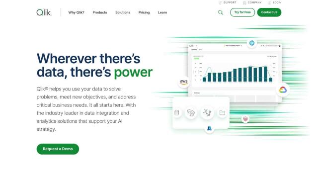
Unifies data from hundreds of sources into a single fabric, enabling customers to integrate, transform, analyze, and take action on their data for better decisions.

Spotfire screenshot thumbnail

Spotfire

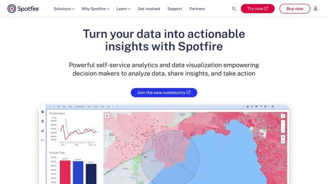
Integrate, prepare, analyze, and act on data from multiple sources with a single platform for real-time data exploration and point-and-click data science.
AdTheorent screenshot thumbnail

AdTheorent

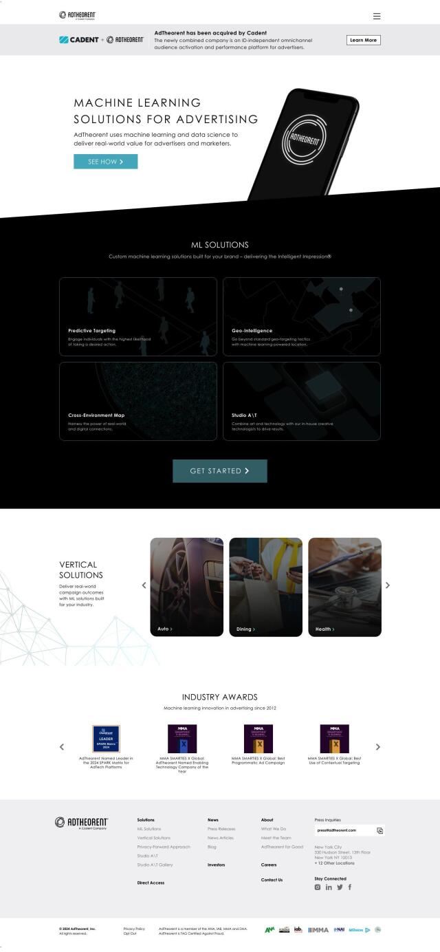
Delivers tailored results through predictive targeting, geo-intelligence, and cross-environment mapping, driving real-world value for advertisers across various industries.

Market Logic screenshot thumbnail

Market Logic

Unify insights data and knowledge through a single AI-powered gateway, providing universal access to real-time market and consumer insights for data-driven decisions.

SensorsData screenshot thumbnail

SensorsData

Unify customer data in real-time to create personalized experiences, drive business results, and make data-driven decisions with advanced product analytics.