Question: I'm looking for a drone solution that can capture high-resolution thermal imaging data in challenging environments.

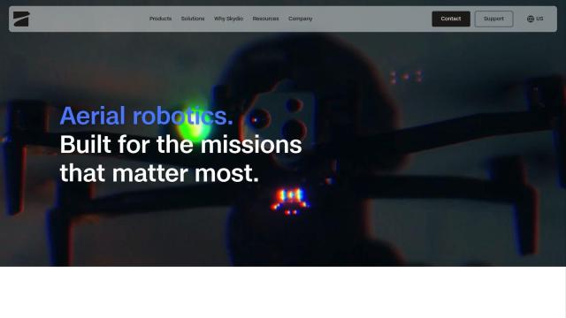
Skydio
If you need a drone system that can capture high-resolution thermal imaging data in difficult environments, Skydio is a strong option. Skydio makes self-piloting drones with advanced AI and high-resolution visual and radiometric thermal cameras, including the FLIR Boson+ sensor, that can capture detailed information in challenging conditions without a human pilot. The drones can also be remotely piloted for situations where operators need to fly from a safe distance.

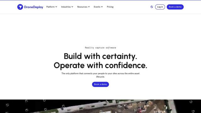
DroneDeploy
Another option is DroneDeploy, which combines drone mapping and photo documentation to capture thermal imaging data. DroneDeploy isn't specifically designed for thermal imaging, but it can provide smart insights through AI-based data extraction and unified photo documentation. It's used in industries like construction and renewable energy to monitor progress and detect problems. The service is enterprise-focused with a range of security and compliance certifications, so it's good for organizations that need to manage data carefully.
PIX4D
If you're interested in photogrammetry and 3D modeling, PIX4D makes software to capture and process drone imagery into maps and models. PIX4D offers flexible processing options, including desktop and cloud processing, and collaboration tools to share project data. The software is good for industries like surveying, architecture and precision agriculture where 3D models and mapping accuracy are important.


Hexagon
Last, Hexagon offers digital reality tools that marry sensor, software and autonomous technologies. Its platforms, including HxDR and Nexus, are designed to help industries like aerospace, agriculture and energy work more efficiently and sustainably through better data management and visualization. Hexagon's tools are geared for the complex geospatial and reality data that companies often need to manage, offering a broad set of tools for many industries.


