Question: Is there a service that provides a collection of apps for different Earth Engine use cases, each with its own set of features and functionality?
Earth Engine Apps
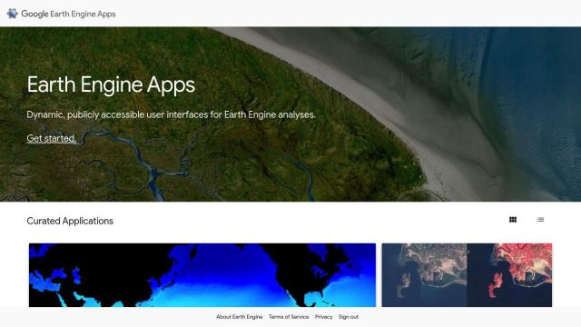
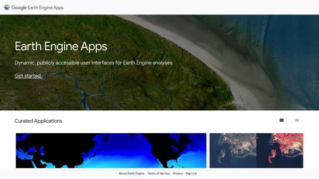
If you want a suite of apps for specific Earth Engine use cases, Earth Engine Apps is a great option. This suite of user interfaces offers a range of tools, including Ocean Timeseries Investigator, Linked Maps, Split Panel and Global Population Explorer, that make Earth Engine data more accessible without requiring a lot of technical expertise. The apps are designed to support a range of use cases with intuitive interfaces for interacting with different data sets and tools.
Sentinel Hub
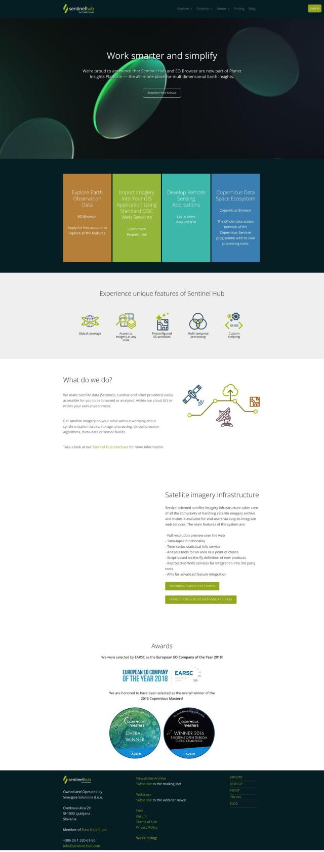
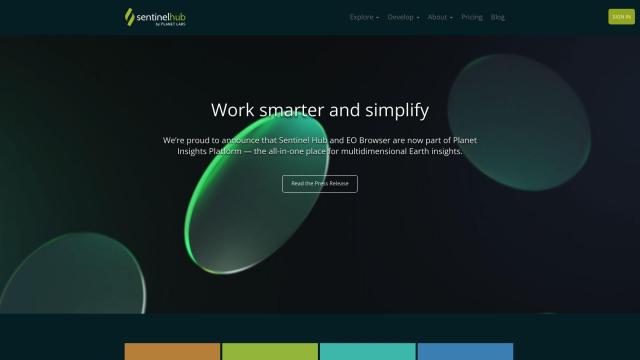
Another option is Sentinel Hub, a cloud-based API for accessing satellite imagery from sources like Sentinels and Landsat. It includes tools like EO Browser for exploring and comparing full-resolution imagery and creating custom visualizations. Sentinel Hub takes care of the grunt work of synchronization, storage and processing so you can focus on analysis and applications. It offers free and paid tiers, so you can use it for whatever you need.


CARTO
CARTO is another good option, particularly if you need a tool for analyzing and visualizing spatial data at large scale. CARTO has an intuitive drag-and-drop interface, more than 100 pre-built analysis components, and built-in GenAI abilities. It supports large-scale app development and comes with access to more than 12,000 geospatial data sources, so it's a good option for businesses that want to use spatial analytics to drive business insights and decision-making.

AppSheet
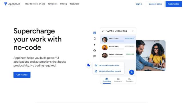
If you prefer a more flexible, no-code approach, AppSheet is another option. The service lets you build and deploy custom apps without any programming. It includes automated workflows, data capture from various sources, and integration with other apps. AppSheet is good for a variety of business uses, including project management and operations, and offers a range of pricing tiers and a free trial.


