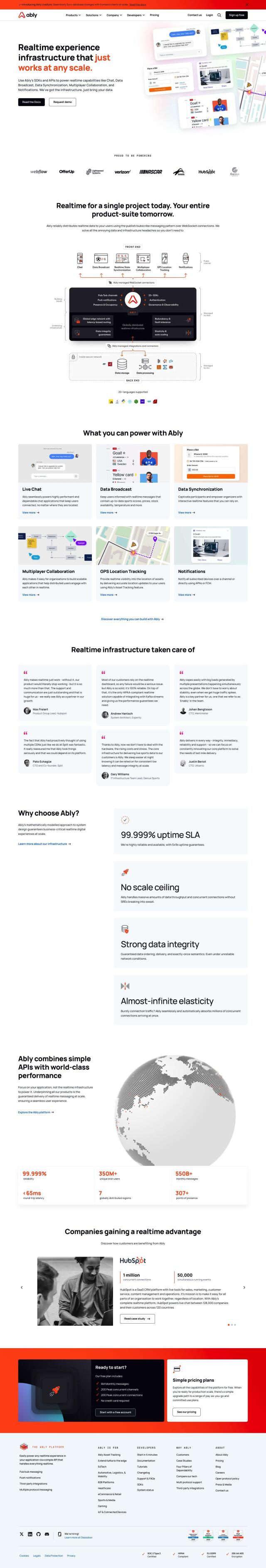
Question: I need a cost-effective solution for tracking trips and visits to places, including live ETAs and accurate location data, do you have any options?
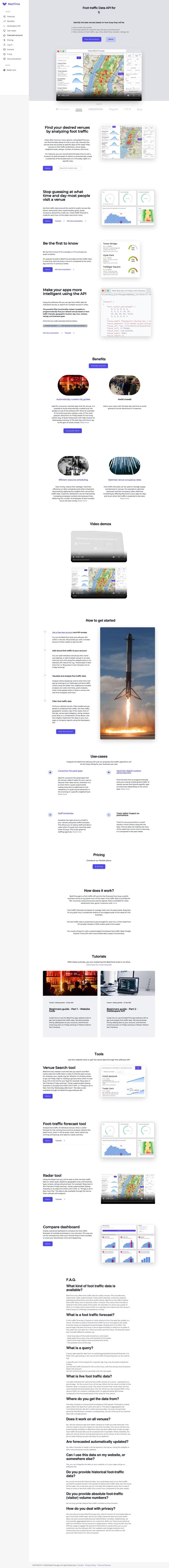
Radar screenshot thumbnail

Radar

If you're looking for a low-cost way to track trips and visits to locations, including live ETAs and precise location data, Radar is a good choice. Radar is a location platform with a focus on both accuracy and privacy. It includes hyper-accurate geofencing, live ETAs and detailed mapping. The service is competitively priced, with a free tier for up to 100,000 API calls or 1,000 monthly tracked users, so it's good for small and medium-size businesses.

Mapbox screenshot thumbnail

Mapbox

Another good option is Mapbox. Mapbox offers APIs and SDKs for maps that you can customize, for navigation and for location search. It has features like interactive maps that update in real time, travel times that take into account traffic, and location search that can find you exactly where you are. And it's got global data sets and a free tier, so it's good for a wide range of uses.
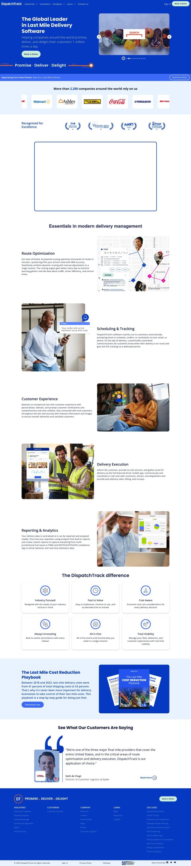
DispatchTrack screenshot thumbnail

DispatchTrack

If you need a service for logistics and delivery, DispatchTrack is worth a look. It uses AI to route deliveries for the most efficient route and tracks orders in real time. With features like real-time ETA tracking and customizable customer notifications, DispatchTrack helps companies optimize delivery operations and improve customer satisfaction. The service can be used in a variety of industries and offers competitive pricing.
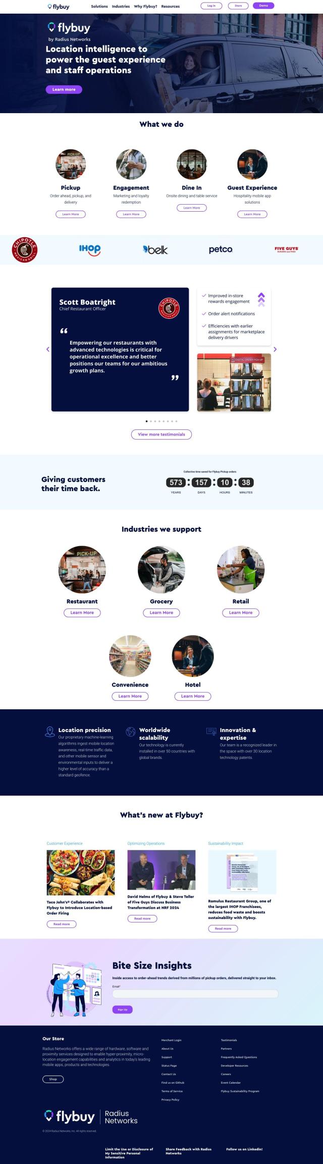
Flybuy screenshot thumbnail

Flybuy

Last, Flybuy is a location service that uses machine-learning algorithms for location intelligence. It combines real-time traffic data with mobile sensor data to provide accurate ETAs. It's good for retail, grocery and hospitality businesses. It's used in more than 50 countries, so it's a good option if you need a global service for tracking locations and managing services.

Additional AI Projects

Urbantz screenshot thumbnail

Urbantz

Optimizes last mile logistics with AI-driven route planning, real-time delivery slots, and multi-carrier management to increase successful deliveries and customer satisfaction.

CARTO screenshot thumbnail

CARTO

Analyze and visualize spatial data at any scale with native cloud integration, intuitive drag-and-drop interface, and built-in GenAI capabilities.

MapmyIndia screenshot thumbnail

MapmyIndia

Seamlessly navigate and optimize last-mile operations with integrated navigation, route planning, and location intelligence solutions powered by India's best maps.

INRIX screenshot thumbnail

INRIX

Harnesses 50 petabytes of transportation data to provide real-time traffic insights, crash alerts, and parking analytics, optimizing urban mobility and road safety.

Bluedot screenshot thumbnail

Bluedot

Empowers apps to send targeted messages and automate tasks with 20x accurate location detection, down to five meters, for seamless customer experiences.

Omnitracs screenshot thumbnail

Omnitracs

Combines fleet management expertise with AI and machine learning to provide actionable insights, optimize business performance, and improve driver satisfaction and safety.

Esri screenshot thumbnail

Esri

Uncover hidden patterns and drive predictive modeling with spatial analytics and machine learning, combining location-based data for innovative insights.

Geotab screenshot thumbnail

Geotab

Leverage AI-driven insights and recommendations to optimize fleet operations, improve safety, and reduce emissions, while automating compliance and increasing productivity.

Routora screenshot thumbnail

Routora

Reorders stops for the most efficient route, minimizing backtracking and saving time and fuel, with easy upload and download of optimized routes.

Placekey screenshot thumbnail

Placekey

Assigns a unique identifier to any physical location, standardizing address information for easy data sharing and integration across organizations.

FourKites screenshot thumbnail

FourKites

Unify global supply chains with real-time visibility, predictive ETAs, and AI-driven insights to reduce risk, improve responsiveness, and optimize operations.

Nearmap screenshot thumbnail

Nearmap

Transforms high-resolution aerial imagery into actionable insights with AI predictions, 3D modeling, and geospatial tools for informed business decisions.

PlaceKit screenshot thumbnail

PlaceKit

Fast, accurate, and global address search with autocomplete, geocoding, and store locator features for seamless user experiences and efficient address management.

PubNub screenshot thumbnail

PubNub

Connect devices, humans, and AI systems for real-time interactions across various use cases.

Lytx screenshot thumbnail

Lytx

Unifies fleet management with AI-powered video safety, telematics, and compliance solutions to improve driver behavior, reduce costs, and enhance operational efficiency.

Ably screenshot thumbnail

Ably

Build real-time digital experiences with APIs for live chat, data broadcast, synchronization, and notifications, ensuring reliable delivery at global scale.

AfterShip screenshot thumbnail

AfterShip

Automates post-purchase experience with proactive tracking, returns, and warranty management, driving customer loyalty and revenue retention.

Spatial.ai screenshot thumbnail

Spatial.ai

Unlock deeper customer insights with behavioral segmentation tools, profiling social, mobile, and web behavior to inform targeted marketing and location strategies.

BestTime screenshot thumbnail

BestTime

Provides real-time retail foot traffic data, forecasts, and live activity insights for locations worldwide, enabling informed decisions on visitation and operations.

Bytebeam screenshot thumbnail

Bytebeam

Manage connected vehicles with real-time health monitoring, over-the-air updates, and remote diagnostics, accelerating go-to-market and improving the driving experience.