Question: Is there a solution that can automate 4D geospatial analytics for construction sites, providing interactive dashboards and PDF reports?

AI Clearing screenshot thumbnail

AI Clearing

The first project is AI Clearing, a digital field construction progress tracking platform that uses machine learning to generate detailed 3D site reports. It combines data from drones and other digital sources to perform advanced 4D geospatial analytics, allowing for precise and efficient progress tracking. AI Clearing offers interactive online dashboards and PDF reports, which can significantly reduce reporting cycles and improve communication and operations planning.
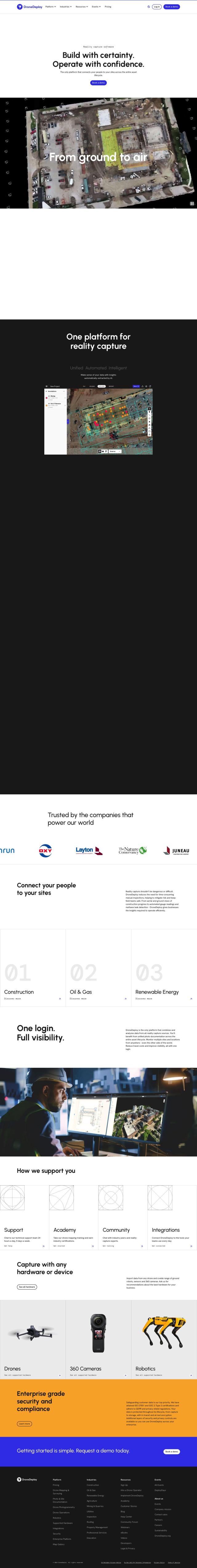
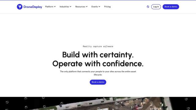
DroneDeploy screenshot thumbnail

DroneDeploy

Another strong contender is DroneDeploy, which combines drone mapping and photo documentation for the entire asset lifecycle. It automates capture and provides intelligent insights through AI-powered data extraction. DroneDeploy is used in various industries, including construction, where it helps track progress, identify problems, and cut rework. The platform is enterprise-grade with robust security and compliance certifications, making it a reliable option for extensive projects.

Esri screenshot thumbnail

Esri

For a broader range of spatial analytics and visualization tools, Esri offers GIS mapping software and spatial analytics. Their platform includes 3D visualization, location intelligence, and machine learning, which can be deployed on cloud infrastructure or on-premise. Esri's tools enable real-time decision-making and predictive modeling, making it a versatile solution for various industries, including construction.

Additional AI Projects

Matterport screenshot thumbnail

Matterport

Capture and collaborate on 3D digital twins of real-world sites, leveraging AI-driven analytics and immersive virtual experiences for improved project outcomes.

CARTO screenshot thumbnail

CARTO

Analyze and visualize spatial data at any scale with native cloud integration, intuitive drag-and-drop interface, and built-in GenAI capabilities.

Hexagon screenshot thumbnail

Hexagon

Combines sensor, software, and autonomous technologies to increase efficiency, reduce waste, and improve sustainability across industries through data-driven digital reality solutions.

Nearmap screenshot thumbnail

Nearmap

Transforms high-resolution aerial imagery into actionable insights with AI predictions, 3D modeling, and geospatial tools for informed business decisions.

EOSDA screenshot thumbnail

EOSDA

Utilizes satellite data and machine learning to provide actionable insights for sustainable agriculture and forestry, enabling data-driven decision making and reduced waste.

IFS screenshot thumbnail

IFS

AI-driven capabilities embedded in business processes accelerate decision-making, while industry-specific features and dashboards address unique challenges.

Geotab screenshot thumbnail

Geotab

Leverage AI-driven insights and recommendations to optimize fleet operations, improve safety, and reduce emissions, while automating compliance and increasing productivity.

Alteryx screenshot thumbnail

Alteryx

Automates workflows, delivers self-service insights, and aligns data analysis with strategic business outcomes, empowering enterprise analytics for all users and roles.

Deltek screenshot thumbnail

Deltek

Streamlines project management with AI-powered automation, real-time insights, and 360-degree visibility to drive productivity, revenue, and project success.

GoodData screenshot thumbnail

GoodData

Quickly build custom data products with interactive analytics abilities, leveraging AI-powered features like a no-code interface and chat assistant for effortless insights.

Spatial.ai screenshot thumbnail

Spatial.ai

Unlock deeper customer insights with behavioral segmentation tools, profiling social, mobile, and web behavior to inform targeted marketing and location strategies.

LookX AI Cloud screenshot thumbnail

LookX AI Cloud

Convert text, sketches, and prompts into photorealistic renderings, videos, and images instantly, automating and accelerating the design process.

Scale screenshot thumbnail

Scale

Provides high-quality, cost-effective training data for AI models, improving performance and reliability across various industries and applications.

C3 AI screenshot thumbnail

C3 AI

Access a broad range of pre-built, enterprise-scale AI applications across industries, accelerating digital transformation and delivering results in weeks.

Digs screenshot thumbnail

Digs

Centralizes home construction communication, documents, and decisions, streamlining collaboration and reducing frustration for clients and builders.

DataRobot AI Platform screenshot thumbnail

DataRobot AI Platform

Centralize and govern AI workflows, deploy at scale, and maximize business value with enterprise monitoring and control.

Altair RapidMiner screenshot thumbnail

Altair RapidMiner

Provides a single, enterprise-scale data science platform for diverse users, offering code-free to code-friendly experiences, explainable models, and scalable deployment.

Clarifai screenshot thumbnail

Clarifai

Rapidly develop, deploy, and operate AI projects at scale with automated workflows, standardized development, and built-in security and access controls.

Dataloop screenshot thumbnail

Dataloop

Unify data, models, and workflows in one environment, automating pipelines and incorporating human feedback to accelerate AI application development and improve quality.

Athena screenshot thumbnail

Athena

Accelerate analytics workflows with an AI-native platform that learns your workflow, automates tasks, and enables collaborative data analysis with natural language interaction.

Dash screenshot thumbnail

Dash

Build interactive, data-driven applications with Python, deploying and sharing with a single click, and scaling on any cloud infrastructure.