Question: Can you recommend a solution that provides accurate navigation and connected features for automotive companies?

MapmyIndia screenshot thumbnail

MapmyIndia

If you're looking for a solution that offers accurate navigation and connected services for automotive companies, MapmyIndia could be a good option. It offers a range of solutions built on India's most accurate maps, including integrated navigation and connected services for vehicles, APIs and SDKs for applications such as traffic, search, geocoding and more. It also offers AI-powered geospatial analytics and IoT and automation solutions for industries such as automotive and government.

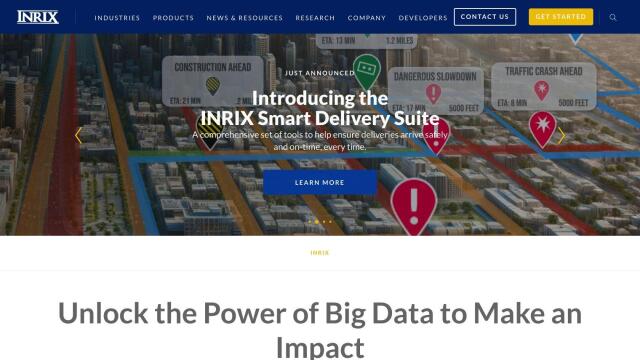
INRIX screenshot thumbnail

INRIX

Another good option is INRIX, which uses 50 petabytes of rich transportation data to help urban mobility. INRIX provides real-time traffic data, crash data, safety alerts and more, helping customers understand traffic patterns and make informed decisions. It's good for cities, carmakers and transportation agencies, and offers products like INRIX IQ and INRIX Mission Control to help optimize traffic and safety.

Mapbox screenshot thumbnail

Mapbox

Mapbox is another good option, offering APIs and SDKs for customizable maps, advanced navigation and geospatial data. It can be used for interactive maps with live updating data, advanced routing engines and precise location search. The platform is used by many industry leaders and can be easily integrated with custom data, making it a good option for connected navigation and other use cases.

Geotab screenshot thumbnail

Geotab

For fleet management and operations, Geotab offers a GPS fleet tracking and management system that uses AI and data intelligence to provide insights and recommendations. It offers features such as fleet productivity tracking, AI-powered fleet safety and route optimization, helping customers reduce costs, improve safety and increase sustainability. With more than 50,000 customers around the world, Geotab is a popular option for comprehensive fleet management.

Additional AI Projects

Mojio screenshot thumbnail

Mojio

Unlocks the full potential of car data monetization, providing actionable insights and services for a smarter, safer, and more convenient car ownership experience.

Mobileye screenshot thumbnail

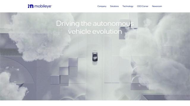
Mobileye

Utilizes a single, low-cost camera sensor to improve vehicle safety, enabling advanced driver-assist systems and self-driving solutions for the automotive industry.

Arity screenshot thumbnail

Arity

Analyzes trillions of miles of driving data to provide actionable insights for insurers, marketers, and communities, enabling personalized services and targeted solutions.

Bytebeam screenshot thumbnail

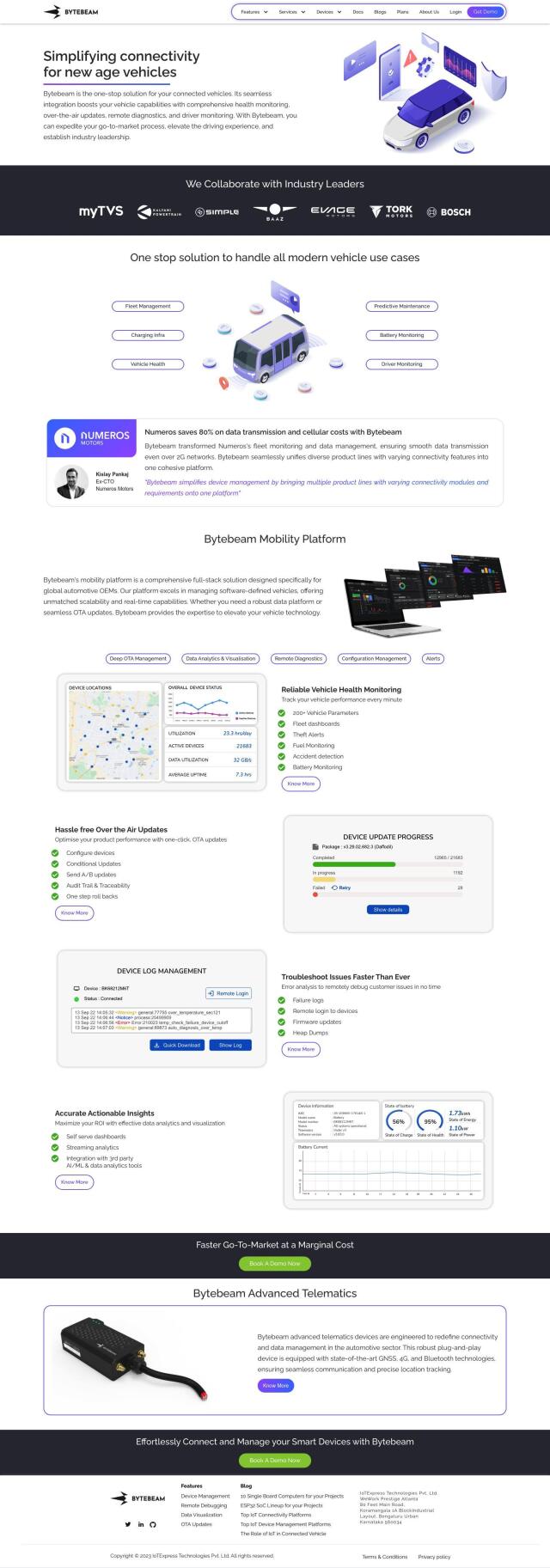
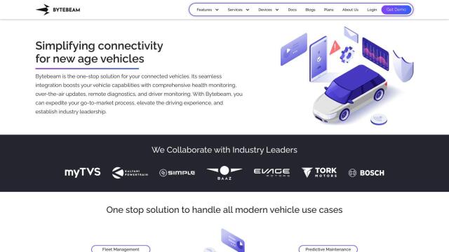
Bytebeam

Manage connected vehicles with real-time health monitoring, over-the-air updates, and remote diagnostics, accelerating go-to-market and improving the driving experience.

Esri screenshot thumbnail

Esri

Uncover hidden patterns and drive predictive modeling with spatial analytics and machine learning, combining location-based data for innovative insights.

CARTO screenshot thumbnail

CARTO

Analyze and visualize spatial data at any scale with native cloud integration, intuitive drag-and-drop interface, and built-in GenAI capabilities.

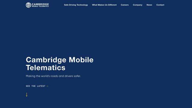
Cambridge Mobile Telematics screenshot thumbnail

Cambridge Mobile Telematics

Analyzes hundreds of billions of miles of driving data to provide a complete picture of vehicle and driver behavior, promoting safer driving and lower insurance rates.

Samsara screenshot thumbnail

Samsara

Samsara's fleet operations platform connects cameras, sensors, and workflows for faster, more confident decisions.

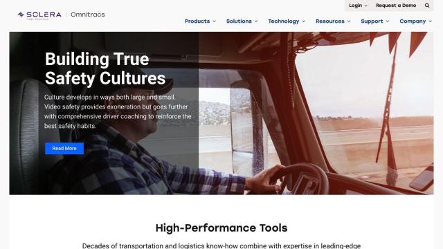
Omnitracs screenshot thumbnail

Omnitracs

Combines fleet management expertise with AI and machine learning to provide actionable insights, optimize business performance, and improve driver satisfaction and safety.

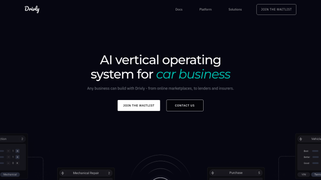
Drivly screenshot thumbnail

Drivly

Automates laborious manual processes and streamlines workflows with simple data, services, and commerce APIs, empowering companies to build and operate automotive businesses more effectively.

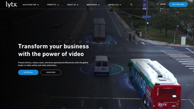
Lytx screenshot thumbnail

Lytx

Unifies fleet management with AI-powered video safety, telematics, and compliance solutions to improve driver behavior, reduce costs, and enhance operational efficiency.

Nearmap screenshot thumbnail

Nearmap

Transforms high-resolution aerial imagery into actionable insights with AI predictions, 3D modeling, and geospatial tools for informed business decisions.

Solera screenshot thumbnail

Solera

Automates claims processes with AI-powered workflows, streamlining vehicle management and maintenance through integrated software solutions.

Radar screenshot thumbnail

Radar

Radar combines geofencing, geocoding, and mapping for accurate, cost-effective location-based experiences.

Motive screenshot thumbnail

Motive

Optimizes fleet management across safety, maintenance, and spend with AI-powered automation, providing 360° visibility and real-time insights to increase efficiency and profitability.

Polymath Robotics screenshot thumbnail

Polymath Robotics

Simplifies autonomous navigation for industrial off-highway vehicles, enabling easy automation without extensive robotics expertise.

DriveCentric screenshot thumbnail

DriveCentric

Streamlines sales processes with AI-driven personalization, automating tasks and providing real-time insights to enhance customer relationships and drive sales.

Spatial.ai screenshot thumbnail

Spatial.ai

Unlock deeper customer insights with behavioral segmentation tools, profiling social, mobile, and web behavior to inform targeted marketing and location strategies.

Software AG screenshot thumbnail

Software AG

Connect and integrate applications, services, and data with prebuilt connectors and automate workflows through a simple drag-and-drop interface.

CCC Intelligent Solutions screenshot thumbnail

CCC Intelligent Solutions

Empowers intelligent experiences for P&C insurance stakeholders through personalized, efficient, and seamless interactions, driven by data, AI, and ecosystem connections.