DroneDeploy
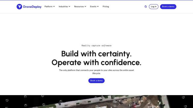
If you're looking for a Skydio alternative, DroneDeploy is a strong contender. It offers drone mapping and photo documentation for the full life cycle of an asset, with AI-powered data extraction that can provide smart insights. The company's software is used in construction, oil and gas, and renewable energy, where customers can track progress and flag problems. It has a Flight app for planning, an Academy for training, and a Community for user collaboration, so it's a good fit for enterprise customers.
PIX4D
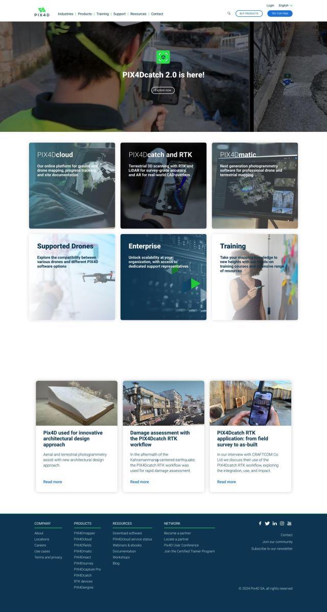
Another good option is PIX4D, a photogrammetry software suite that takes images from drones and cameras, processes them and analyzes the data to create accurate maps and 3D models. It's used in industries like surveying, architecture, engineering, construction and precision agriculture. PIX4D has a range of products, including PIX4Dmapper for professional drone mapping, PIX4Dcloud for cloud-based mapping, and PIX4Dfields for precision agriculture. It offers flexible processing options and extensive support and training services.


Hexagon
If you're looking for a broader set of digital reality options, Hexagon has a suite of tools that combines sensor, software and autonomous technologies to change industries. Hexagon's solutions are designed to increase efficiency, reduce waste and improve sustainability. It includes autonomy, data management and digital reality platforms, and is a good option for manufacturing, agriculture and energy. The company's Nexus platform connects people, technology and data to drive innovation and performance improvements.

Anduril
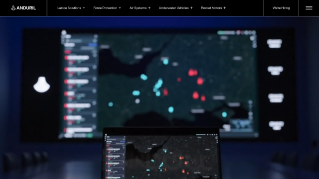
Last, Anduril is worth a look if you need advanced autonomous systems for different domains. Anduril offers products powered by Lattice OS, including Force Protection, Air Systems, Underwater Vehicles and Rocket Motors. The system is designed to provide persistent awareness and security, so it's a good option for defense and security work.

