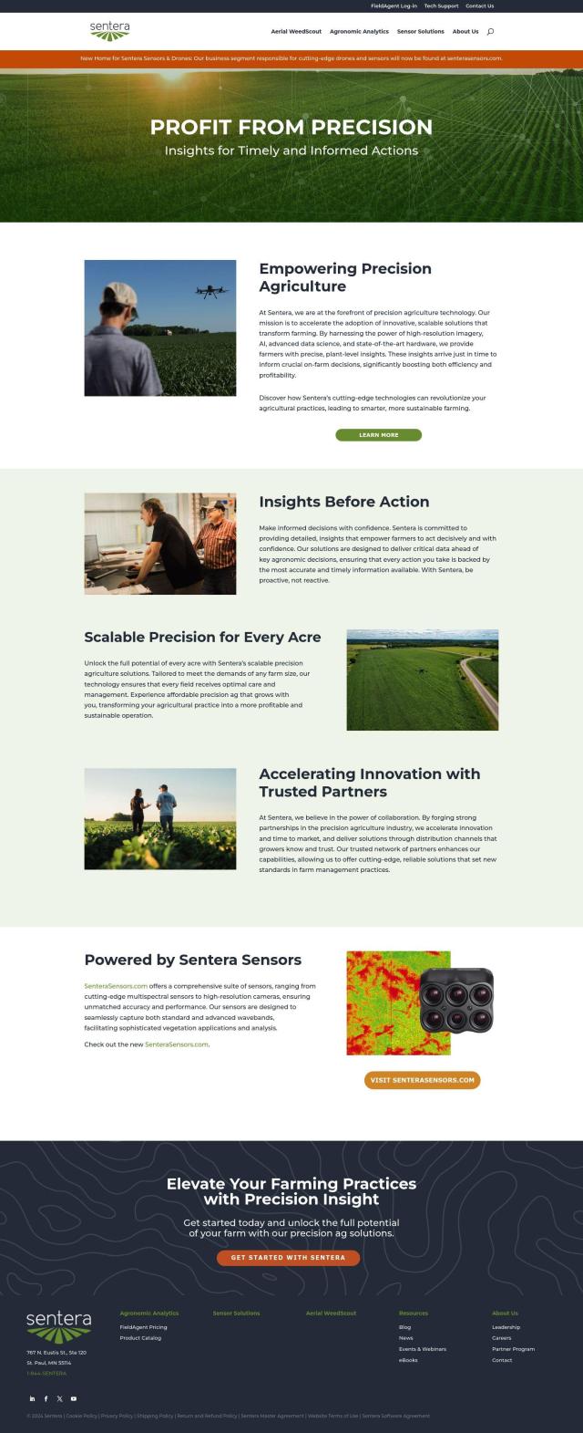
Sentera Alternatives

Provides plant-level insights through high-resolution imagery, AI-driven analysis, and advanced data science, enabling farmers to make informed, data-driven decisions.
EOSDA screenshot thumbnail

EOSDA

If you're looking for another Sentera alternative, EOSDA is definitely worth considering. EOSDA analyzes satellite imagery with machine learning algorithms to offer insights for precision agriculture and forestry. Its tools include crop monitoring, yield forecasting, soil moisture monitoring and carbon modeling that can help farmers increase profitability and reduce waste. EOSDA has custom pricing, so it can accommodate a range of businesses.
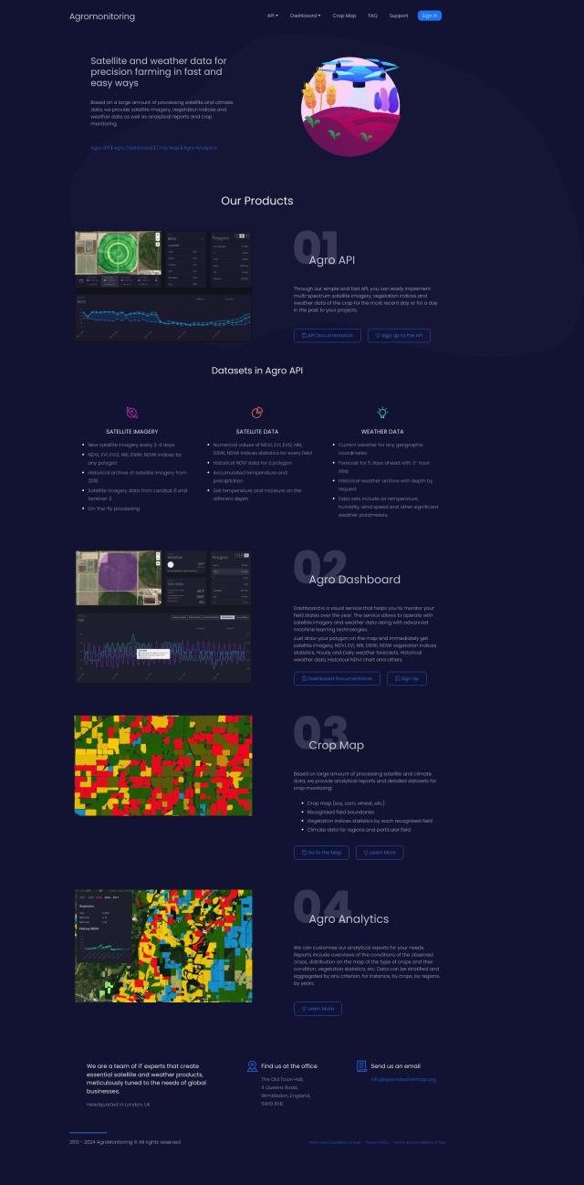
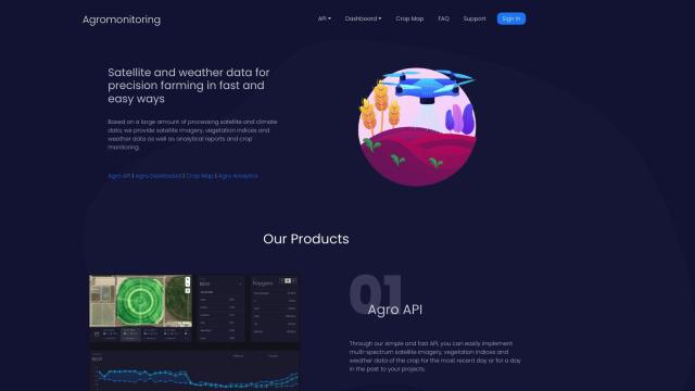
Agromonitoring screenshot thumbnail

Agromonitoring

Another option is Agromonitoring. The platform offers satellite and weather data to help farmers manage crops through a range of tools like Agro Dashboard, Crop Map and Agro Analytics. It offers current and historical satellite imagery updates, as well as weather data and soil parameters. Agromonitoring has tiered pricing to accommodate different users, from farmers to bigger companies.
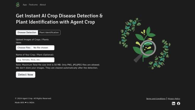
FlyPix screenshot thumbnail

FlyPix

If you're looking for something more AI-focused, you might want to check out FlyPix. The platform transforms complex imagery into insights through AI models. FlyPix offers features like AI object detection, change detection and dynamic tracking, and is applicable to a range of industries including agriculture. It has a user-friendly interface for data analysis and flexible pricing.
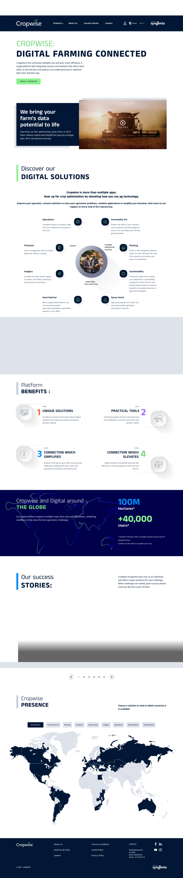
Cropwise screenshot thumbnail

Cropwise

Last, Cropwise provides a digital platform for farmers to optimize their operations and increase crop efficiency. With tools like Operations for real-time field monitoring and Imagery for crop health monitoring, Cropwise helps farmers make better decisions and avoid rework. It's available globally and can help the agricultural industry make data-driven decisions.

More Alternatives to Sentera

Climate FieldView screenshot thumbnail

Climate FieldView

Analyze field data in real-time to optimize crop yields and profitability, making informed decisions with actionable insights.

PIX4D screenshot thumbnail

PIX4D

Converts images into accurate maps and 3D models for analysis, inspections, and measurements, with survey-grade accuracy and georeferencing.

Nearmap screenshot thumbnail

Nearmap

Transforms high-resolution aerial imagery into actionable insights with AI predictions, 3D modeling, and geospatial tools for informed business decisions.

ePlant screenshot thumbnail

ePlant

Remotely monitor tree health and environmental conditions with long-range wireless sensors, tracking growth, stress, and weather patterns for data-driven decisions.

Agent Crop screenshot thumbnail

Agent Crop

Detects crop diseases and identifies plants using advanced computer vision, providing immediate answers to boost yields and profits.

TELUS Agriculture & Consumer Goods screenshot thumbnail

TELUS Agriculture & Consumer Goods

Unlocks actionable data insights and digital tools to optimize operations, improve safety, quality, and sustainability across the agriculture value chain.

Hexagon screenshot thumbnail

Hexagon

Combines sensor, software, and autonomous technologies to increase efficiency, reduce waste, and improve sustainability across industries through data-driven digital reality solutions.

PlantIn screenshot thumbnail

PlantIn

Identify plants, diagnose diseases, and receive personalized care plans with expert advice, leveraging a database of over 17,000 plant species.

PictureThis screenshot thumbnail

PictureThis

Instantly identify plants, diagnose diseases, and receive personalized care tips with AI-powered plant identification and expert advice.

myPlant screenshot thumbnail

myPlant

Optimizes energy assets through real-time monitoring, predictive analytics, and remote control, improving efficiency, reducing costs, and carbon emissions.

C3 AI screenshot thumbnail

C3 AI

Access a broad range of pre-built, enterprise-scale AI applications across industries, accelerating digital transformation and delivering results in weeks.

Glean screenshot thumbnail

Glean

Provides trusted and personalized answers based on enterprise data, empowering teams with fast access to information and increasing productivity.

Clarifai screenshot thumbnail

Clarifai

Rapidly develop, deploy, and operate AI projects at scale with automated workflows, standardized development, and built-in security and access controls.

Geotab screenshot thumbnail

Geotab

Leverage AI-driven insights and recommendations to optimize fleet operations, improve safety, and reduce emissions, while automating compliance and increasing productivity.

HEAVY.AI screenshot thumbnail

HEAVY.AI

Unlocks high-value opportunities and risks in location and time data through interactive, timely, and hardware-accelerated analytics.