
Mapbox
If you're looking for a MapmyIndia alternative, Mapbox is a top contender. It offers APIs and SDKs for customizable maps, routing, and rich geospatial data. With support for live data, routing engines and traffic-aware travel times, it's suitable for a range of use cases including connected navigation and smart location. Mapbox offers a wealth of developer resources so you can add your own data and tune performance.

INRIX
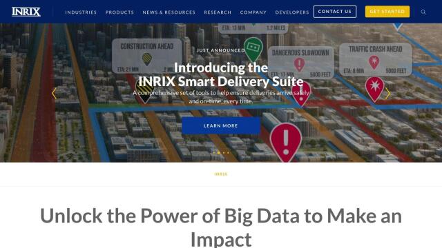
Another good alternative is INRIX, which aggregates 50 petabytes of transportation data and uses generative AI technology to provide real-time traffic data, crash data, safety alerts and more. It's geared for cities, carmakers, transportation agencies and businesses, offering detailed insights into traffic patterns and trip behavior. INRIX's platform can help optimize traffic flow, safety and decision-making, making it a good option for urban mobility.


Nearmap
For high-resolution imagery and geospatial tools, check out Nearmap. It offers current aerial imagery, 3D models, AI predictions and panoramic views, and is designed for businesses, communities and governments that need to make better decisions. Nearmap's platform is good for urban planning, environmental monitoring, infrastructure and disaster response, and offers a broad range of tools for many industries.


Esri
Last, Esri offers powerful GIS mapping and spatial analytics through its GIS mapping software and spatial analytics tools. It marries location analytics and machine learning for predictive modeling and real-time decision-making in a range of industries, including retail, asset management and infrastructure planning. Esri offers a 21-day free trial and a wealth of developer tools, making it a good option for location intelligence and spatial analysis.


