Question: I'm looking for a reality capture software that provides intelligent insights and automated photo documentation for renewable energy projects.
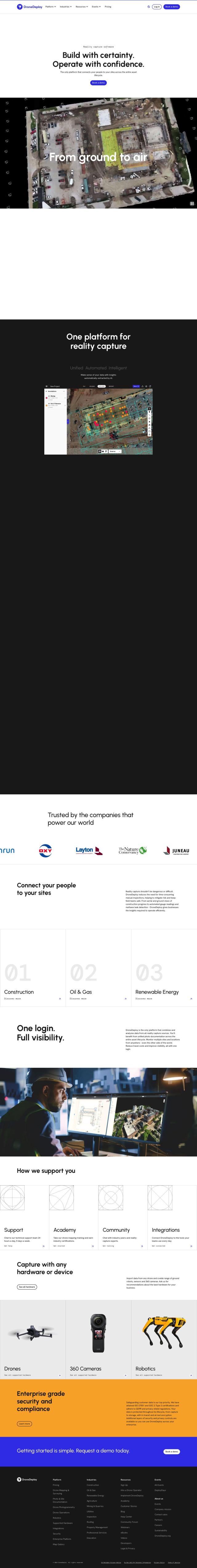
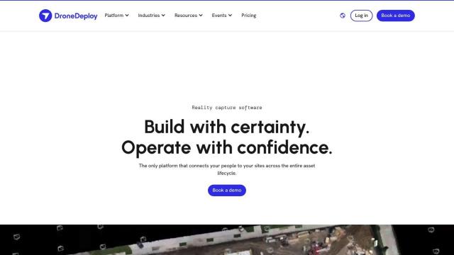
DroneDeploy screenshot thumbnail

DroneDeploy

If you're looking for reality capture software with smart analysis and automated photo documentation for renewable energy projects, DroneDeploy is a strong contender. It offers drone mapping and photo documentation with AI-based data extraction for smart analysis and a single source of truth for photo documentation across the asset's life cycle. It's widely used in construction, oil and gas, and renewable energy to monitor progress, detect issues and reduce rework.

AI Clearing screenshot thumbnail

AI Clearing

Another strong contender is AI Clearing, which uses machine learning technology to track field construction progress digitally. It creates detailed 3D site reports and advanced 4D geospatial analytics, shortening reporting cycles and offering insights through interactive dashboards and PDF reports. AI Clearing can integrate with existing systems and is well-suited for solar farms and other projects that require a single system for documentation and stakeholder communication.
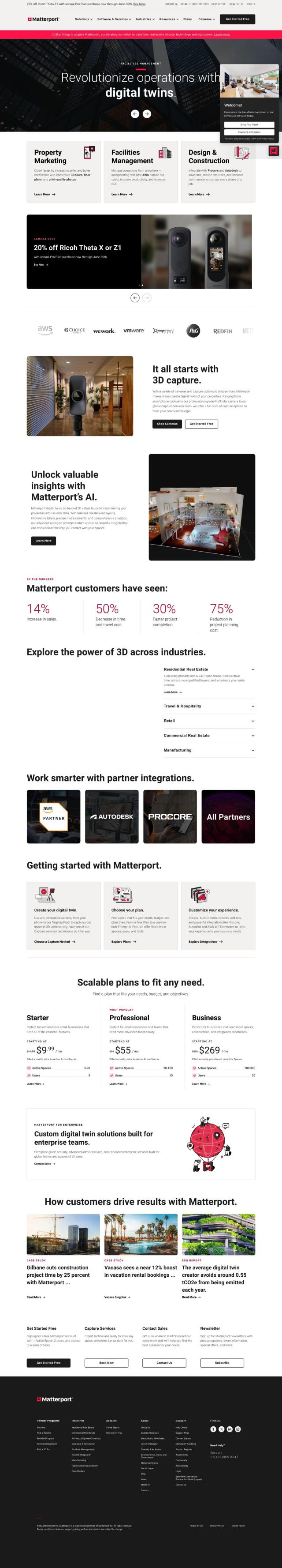
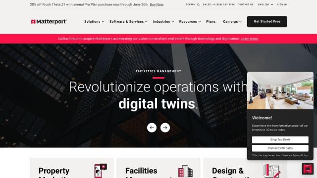
Matterport screenshot thumbnail

Matterport

If you want something more immersive, check out Matterport, which lets you capture, collaborate and analyze 3D digital twins of real-world sites. It includes virtual tours and AI-based analytics, and it's a good option for property marketing, facilities management and construction projects. Matterport's platform integrates with industry tools like Procore and Autodesk, and it offers a range of pricing options depending on your business needs.

Hexagon screenshot thumbnail

Hexagon

Last, Hexagon has a broad range of digital reality tools that combine sensors, software and autonomous systems. Its platform, HxDR, handles data management, real-time collaboration and geospatial data visualization, and it's good for many industries, including renewable energy. Hexagon's tools are designed to improve efficiency, reduce waste and increase sustainability, so it's a good option for your project needs.

Additional AI Projects

RealityCapture screenshot thumbnail

RealityCapture

Automatically generates photorealistic 3D assets and environments from photos and/or laser scans, creating textured 3D meshes and orthographic projections.

Nearmap screenshot thumbnail

Nearmap

Transforms high-resolution aerial imagery into actionable insights with AI predictions, 3D modeling, and geospatial tools for informed business decisions.

Polycam screenshot thumbnail

Polycam

Capture and create accurate 3D models with LiDAR scanning, photogrammetry, and 360-degree photos, and share them across platforms with ease.

EOSDA screenshot thumbnail

EOSDA

Utilizes satellite data and machine learning to provide actionable insights for sustainable agriculture and forestry, enabling data-driven decision making and reduced waste.

3DFY.ai screenshot thumbnail

3DFY.ai

Generate high-quality 3D models from text prompts or single images, rapidly creating engaging 3D assets at scale with unprecedented efficiency.

Immersity AI screenshot thumbnail

Immersity AI

Convert 2D imagery and video into immersive 3D experiences with detailed depth maps, expanding creative possibilities for commercial use.

LandingLens screenshot thumbnail

LandingLens

Unlock insights from unlabeled images, achieve accurate results, and deploy computer vision models flexibly and scalably across industries.

C3 AI screenshot thumbnail

C3 AI

Access a broad range of pre-built, enterprise-scale AI applications across industries, accelerating digital transformation and delivering results in weeks.

Dataloop screenshot thumbnail

Dataloop

Unify data, models, and workflows in one environment, automating pipelines and incorporating human feedback to accelerate AI application development and improve quality.

Scale screenshot thumbnail

Scale

Provides high-quality, cost-effective training data for AI models, improving performance and reliability across various industries and applications.

Clarifai screenshot thumbnail

Clarifai

Rapidly develop, deploy, and operate AI projects at scale with automated workflows, standardized development, and built-in security and access controls.

Move AI screenshot thumbnail

Move AI

Capture realistic human motion with AI-powered 2D-to-3D video conversion, allowing for flexible and high-quality motion data in any environment.

Deltek screenshot thumbnail

Deltek

Streamlines project management with AI-powered automation, real-time insights, and 360-degree visibility to drive productivity, revenue, and project success.

NETVIBES screenshot thumbnail

NETVIBES

Turns data into actionable knowledge, fueling innovation and competitiveness through AI-assisted virtual twin experiences and collective knowledge-driven decision-making.

DataRobot AI Platform screenshot thumbnail

DataRobot AI Platform

Centralize and govern AI workflows, deploy at scale, and maximize business value with enterprise monitoring and control.

Avataar screenshot thumbnail

Avataar

Create immersive 3D stories and videos with a fluid blend of digital and real-world elements, leveraging AI for easy model generation and cost savings.

Lumiere3D screenshot thumbnail

Lumiere3D

Creates stunning 3D product videos with AI-driven camera motion, effects, and photorealistic models, all in a matter of minutes.

CarbonReach screenshot thumbnail

CarbonReach

Combines device, location, network, and behavior data to predict future risks, providing a comprehensive view of network activity for targeted security action.

Spatial.ai screenshot thumbnail

Spatial.ai

Unlock deeper customer insights with behavioral segmentation tools, profiling social, mobile, and web behavior to inform targeted marketing and location strategies.

Altair RapidMiner screenshot thumbnail

Altair RapidMiner

Provides a single, enterprise-scale data science platform for diverse users, offering code-free to code-friendly experiences, explainable models, and scalable deployment.