Question: Looking for a solution that allows me to create and embed interactive maps into my website or blog, do you know of any?
Textomap
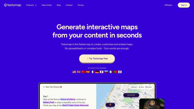
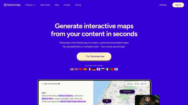
If you want to create and integrate interactive maps into your website or blog, Textomap is a great option. This service uses AI to turn text-based content into maps, giving you instant map generation, support for multiple languages, and some customization abilities. You can link to photos and webpages, too, so it's good for schools, bloggers and travel agencies that want to spice up their content with interactive maps.


Mapbox
Another option is Mapbox, a prominent location intelligence platform that offers customizable maps and sophisticated navigation abilities. With its APIs and SDKs, you can build interactive maps with live data, precise location search and detailed geospatial data. Mapbox is used by many big names, and it offers several pricing tiers, including a free option, so it's good for a broad range of uses.


CARTO
If you're looking for something more analytical, CARTO offers a cloud-native location intelligence platform that makes it easier to process and visualize spatial data. With integration with BigQuery, Snowflake and Azure, CARTO offers a full range of tools for building spatial apps. It's good for companies that want to use spatial analysis and visualization to drive business insights and decision making.
