Question: I'm looking for a geolocation API that supports multiple formats like JSON, JSONP, and CSV for easy integration.

Placekey
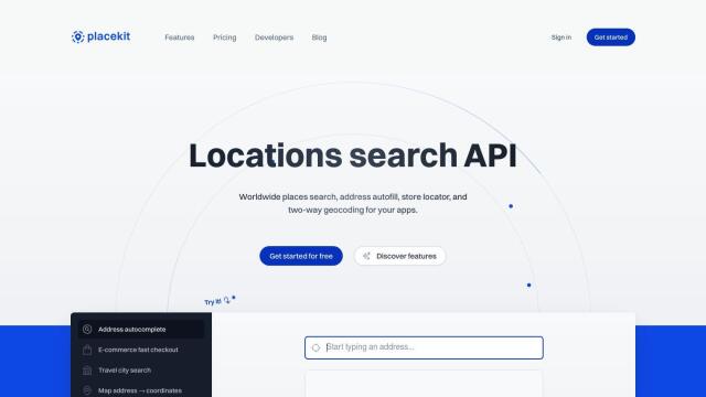
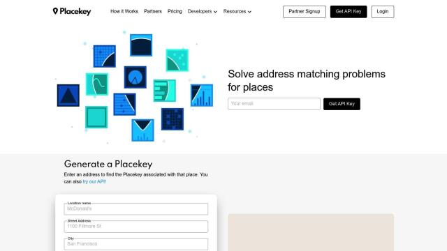
The first project you should evaluate is Placekey. This API offers universal place identifiers that solve address matching problems by providing a single identifier for any address. It supports multiple formats and integrates with tools like Google Sheets, Carto and Excel. Placekey also supports several programming languages and has flexible pricing options.


Mapbox
Another good option is Mapbox. Mapbox offers APIs and SDKs for customizable maps, advanced navigation and location search. It has global datasets for boundaries, traffic and movement, and a wealth of documentation to make integration easy. The company is a popular choice for connected navigation and data analysis.


CARTO
If you're more interested in visualization, CARTO is a good option. It lets you analyze and visualize spatial data at scale without the complexity of ETLs or data duplication. Features like an intuitive drag-and-drop interface and more than 12,000 geospatial datasets make CARTO a good choice for companies that want to use spatial analytics to drive business insights and decision-making.

IP Lookup Geolocation API
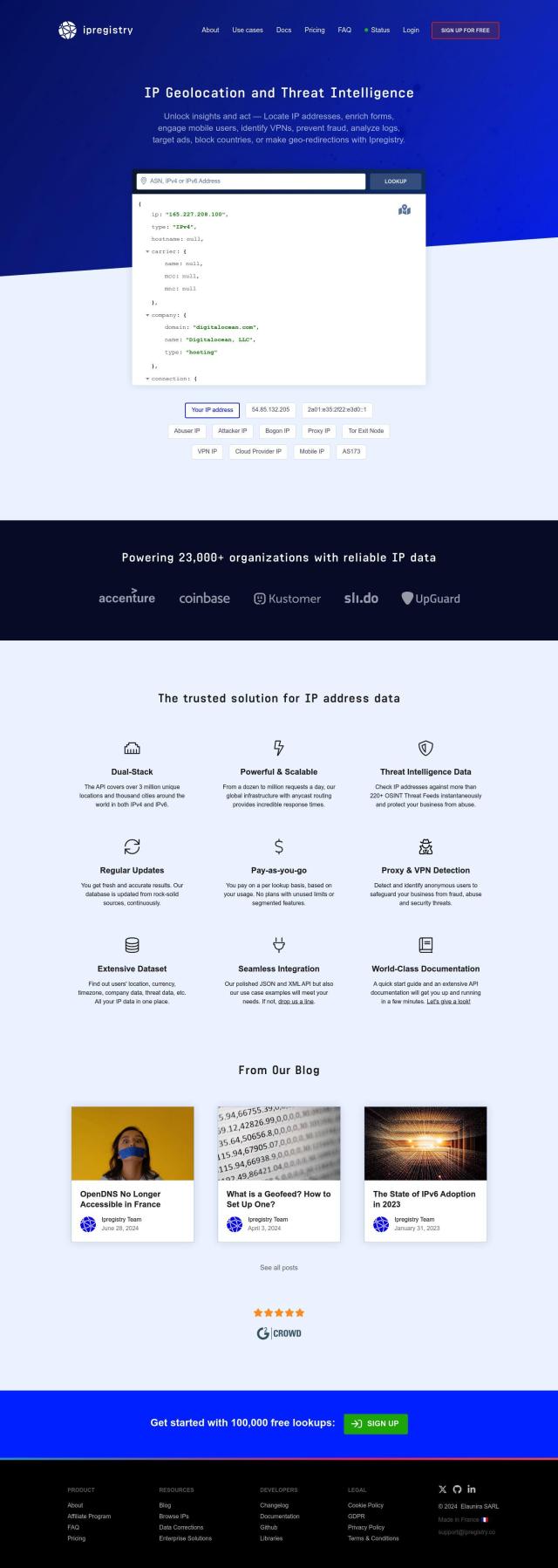
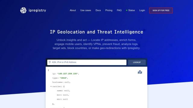
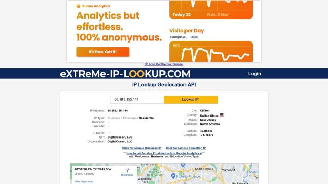
The IP Lookup Geolocation API is also a good choice, offering detailed geolocation information for IP addresses. It supports multiple formats (JSON, JSONP, and CSV) and can be used for geolocating users, serving regional content and personalizing user experiences. Different pricing tiers mean the API can be adapted to suit different needs.

