Question: I need a system that can detect weeds early and optimize herbicide application for cost-effective farming practices.
Sentera
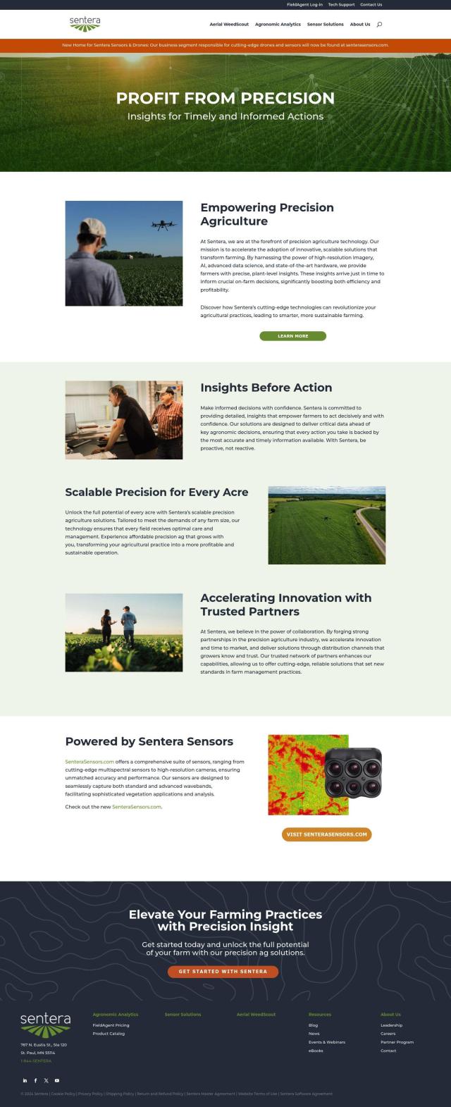
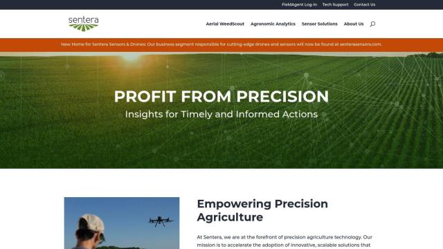
If you're looking for a more mature system to spot weeds early and apply herbicides accordingly, Sentera has a more complete offering. Its precision agriculture software combines high-resolution imagery, AI and sophisticated data science techniques for plant-level insights. Its Aerial WeedScout feature spots weeds early and optimizes herbicide application, for example, and Sentera's tools are designed to help farmers work more efficiently and profitably. The system works for small and large farms, with prices ranging from $1,000 to more complex enterprise deals.


EOSDA
Another option is EOSDA, which uses satellite imagery and machine learning to offer insights for precision agriculture. Its software includes tools for crop monitoring, yield forecasting and soil moisture analysis designed to increase profitability and cut waste. EOSDA's LandViewer GIS software and high-resolution satellite imagery can help farmers assess land use, too, and that could be useful for farmers who want to be more environmentally responsible.

Cropwise
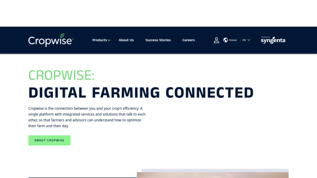
If you prefer a digital platform that packages several services together to help you run your farm better, check out Cropwise. It includes tools like Operations for monitoring fields in real time, Commodity Pro for crop protection and Spray Assist for optimizing herbicide application. Cropwise's suite of apps can help farmers make better decisions, avoid rework and get more out of their crops, which is why it's a good option for farmers who want to be more proactive.
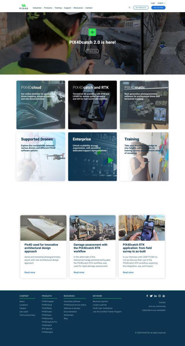
PIX4D
And PIX4D offers photogrammetry software that can capture and process drone and camera imagery to create maps and 3D models. Its PIX4Dfields product is geared for precision agriculture, with flexible processing options and collaboration tools. It's a good option for farmers who want to take a lot of photos and then analyze them for the best way to spot weeds and apply herbicides.

