Question: I need a service that allows me to create custom, interactive maps for my location-based app.

Mapbox screenshot thumbnail

Mapbox

If you need a service to build custom, interactive maps for your location-based app, Mapbox is a great option. This location intelligence platform offers APIs and SDKs for customizable maps, sophisticated navigation, location search and rich geospatial data. It can handle interactive maps with constantly updating data and has features like sophisticated routing engines and traffic-based travel times. Mapbox is used by industry heavyweights and has a wealth of developer resources, including migration guides, API documentation and example code.

Geoapify screenshot thumbnail

Geoapify

Another good option is Geoapify, which offers a broad range of APIs for building location-based apps. It has advanced tools for mapping, geocoding, route optimization and spatial analysis. With Geoapify, you can create interactive vector and raster maps, optimize routes and spatial data analysis. The service gives you full control over generated data and offers flexible pricing tiers, including a free tier with 3,000 credits per day.
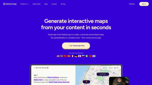
Textomap screenshot thumbnail

Textomap

If you want to go more AI, Textomap could be helpful. This service uses artificial intelligence to extract locations from text-based information and lets you create, customize and embed maps. Textomap works in multiple languages and lets you export data in CSV and Google Maps formats, so it's good for schools, content creators and travel agencies.

CARTO screenshot thumbnail

CARTO

Last, CARTO offers a cloud-native location intelligence platform to help you analyze, visualize and build applications with spatial data at large scale. With a drag-and-drop interface and more than 100 pre-built analysis components, CARTO is a good way to tap into spatial analytics and visualization. It's designed for large-scale app development, and you get access to a large library of geospatial data, too, so it's a good option for companies that want to improve their business insights and decision making.

Additional AI Projects

Esri screenshot thumbnail

Esri

Uncover hidden patterns and drive predictive modeling with spatial analytics and machine learning, combining location-based data for innovative insights.

MapmyIndia screenshot thumbnail

MapmyIndia

Seamlessly navigate and optimize last-mile operations with integrated navigation, route planning, and location intelligence solutions powered by India's best maps.

Radar screenshot thumbnail

Radar

Radar combines geofencing, geocoding, and mapping for accurate, cost-effective location-based experiences.

MapsGPT screenshot thumbnail

MapsGPT

Instantly generate custom maps with pins for specific activities, trips, or atmospheres, and discover unique locations with a range of search options.

Nearmap screenshot thumbnail

Nearmap

Transforms high-resolution aerial imagery into actionable insights with AI predictions, 3D modeling, and geospatial tools for informed business decisions.

Rapid Editor screenshot thumbnail

Rapid Editor

Automates map creation and updates using machine learning and satellite imagery, reducing manual effort and increasing accuracy.

ThingLink screenshot thumbnail

ThingLink

Create immersive, interactive visual experiences with hotspots, virtual tours, and simulations to improve learning outcomes and track engagement metrics.

PlaceKit screenshot thumbnail

PlaceKit

Fast, accurate, and global address search with autocomplete, geocoding, and store locator features for seamless user experiences and efficient address management.

Placekey screenshot thumbnail

Placekey

Assigns a unique identifier to any physical location, standardizing address information for easy data sharing and integration across organizations.

Spatial.ai screenshot thumbnail

Spatial.ai

Unlock deeper customer insights with behavioral segmentation tools, profiling social, mobile, and web behavior to inform targeted marketing and location strategies.

Blippar screenshot thumbnail

Blippar

Create custom AR experiences without coding, using intuitive tools, 3D models, and tracking technology, with real-time feedback and iteration capabilities.

Unearth Insights screenshot thumbnail

Unearth Insights

Access a unified suite of location data and analytics tools, powered by an AI co-pilot, to uncover insights and drive business decisions faster.

Hololink screenshot thumbnail

Hololink

Create engaging and immersive AR experiences with a drag-and-drop editor, empowering increased customer engagement and conversion rates across the customer journey.

Bluedot screenshot thumbnail

Bluedot

Empowers apps to send targeted messages and automate tasks with 20x accurate location detection, down to five meters, for seamless customer experiences.

Bubble screenshot thumbnail

Bubble

Build professional apps without coding, using AI-guided development, customizable templates, and a drag-and-drop editor to create scalable, production-ready applications.

Rubber screenshot thumbnail

Rubber

Build AI-powered apps without coding, using a library of building blocks to create intuitive and powerful apps, with customizable UI and seamless integrations.

Slatebox screenshot thumbnail

Slatebox

Create editable visualizations from natural language prompts in real-time, fostering efficient team collaboration and diagram creation.

Imagica screenshot thumbnail

Imagica

Build AI-powered apps without coding, using a no-code interface that lets you define functions with plain language and integrate real-time data sources.

Noloco screenshot thumbnail

Noloco

Create custom internal tools, client portals, and CRMs in minutes without coding, leveraging integrations, flexible components, and powerful permissions.

Ably screenshot thumbnail

Ably

Build real-time digital experiences with APIs for live chat, data broadcast, synchronization, and notifications, ensuring reliable delivery at global scale.