Question: I'm looking for a solution that allows me to easily create and update indoor maps for my office building.

Mappedin screenshot thumbnail

Mappedin

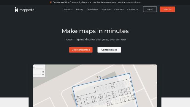
If you need a service to create and update your indoor maps for your office building, Mappedin is a good option. The service lets you create, publish and manage interactive 3D maps with AI-powered tools. It offers features like AI-generated maps, automated navigation and content enrichment. Mappedin also integrates with other mapping services like MapLibre, MapBox and Deck.gl, so it's a good option for a variety of industries, including offices.


Matterport screenshot thumbnail

Matterport

Another option is Matterport. Although it's best known for 3D digital twins, it also offers tools to capture, collaborate and analyze real-world sites, including office buildings. Matterport's virtual tours and AI-based analytics can help with property marketing and facilities management. It's a good option if you need high-quality, immersive experiences to better manage or market your office space.

Mapbox screenshot thumbnail

Mapbox

Mapbox offers customizable maps, sophisticated navigation and location search through its APIs and SDKs. It offers interactive maps with live-updating data and supports a lot of geospatial data, which could be useful for real-time navigation and updates in your office building. Mapbox offers flexible pricing, including a free tier, so it's a good option for a variety of business needs.

Esri screenshot thumbnail

Esri

If you want a more GIS-oriented option, Esri is a powerful location intelligence and spatial analytics platform. It includes 3D visualization, GIS mapping and spatial analysis tools that can be applied to many industries, including office facilities management. Esri offers a 21-day free trial and developer tools, so it's a good option if you need serious spatial expertise.

Additional AI Projects

Nearmap screenshot thumbnail

Nearmap

Transforms high-resolution aerial imagery into actionable insights with AI predictions, 3D modeling, and geospatial tools for informed business decisions.

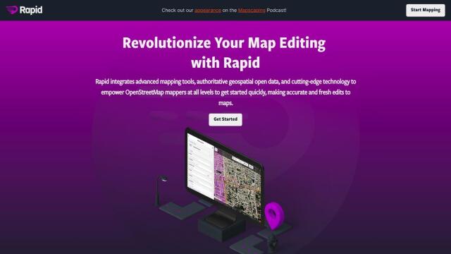
Rapid Editor screenshot thumbnail

Rapid Editor

Automates map creation and updates using machine learning and satellite imagery, reducing manual effort and increasing accuracy.

Density screenshot thumbnail

Density

Optimize workplace design and real estate strategy with accurate space utilization insights, real-time metrics, and heatmaps to maximize ROI and improve in-office experience.
CARTO screenshot thumbnail

CARTO

Analyze and visualize spatial data at any scale with native cloud integration, intuitive drag-and-drop interface, and built-in GenAI capabilities.

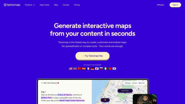
Textomap screenshot thumbnail

Textomap

Automatically extracts locations from text-based content to create interactive maps in seconds, saving time and effort.

Avataar screenshot thumbnail

Avataar

Create immersive 3D stories and videos with a fluid blend of digital and real-world elements, leveraging AI for easy model generation and cost savings.

Geoapify screenshot thumbnail

Geoapify

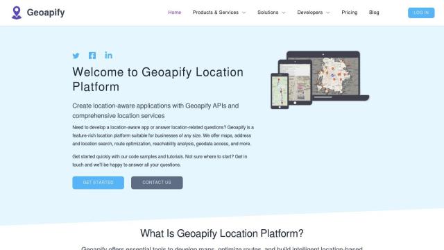
Build location-based apps with ease using a suite of APIs for mapping, geocoding, route optimization, and spatial analytics, with flexible pricing and no data restrictions.

mnml.ai screenshot thumbnail

mnml.ai

Convert sketches and 3D models into high-quality renderings and variations with a range of AI tools for architectural and interior design projects.

Radar screenshot thumbnail

Radar

Radar combines geofencing, geocoding, and mapping for accurate, cost-effective location-based experiences.

MapmyIndia screenshot thumbnail

MapmyIndia

Seamlessly navigate and optimize last-mile operations with integrated navigation, route planning, and location intelligence solutions powered by India's best maps.

Bezi screenshot thumbnail

Bezi

Accelerate 3D design and prototyping with collaborative, real-time tools and generative AI, accessible to users without deep 3D skills.

Coohom screenshot thumbnail

Coohom

Create 3D visualizations and render photorealistic designs in minutes, leveraging AI templates and a vast 3D furniture model library to streamline the design process.

Maket screenshot thumbnail

Maket

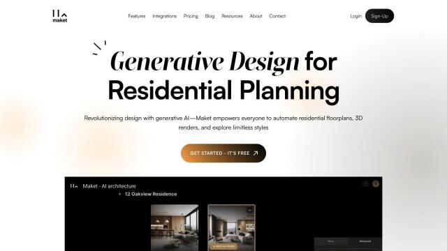
Automate residential floorplan generation, explore diverse styles, and customize designs with AI-powered software, accelerating the planning process and unlocking creative possibilities.

MapsGPT screenshot thumbnail

MapsGPT

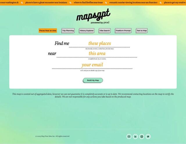
Instantly generate custom maps with pins for specific activities, trips, or atmospheres, and discover unique locations with a range of search options.

Visoid screenshot thumbnail

Visoid

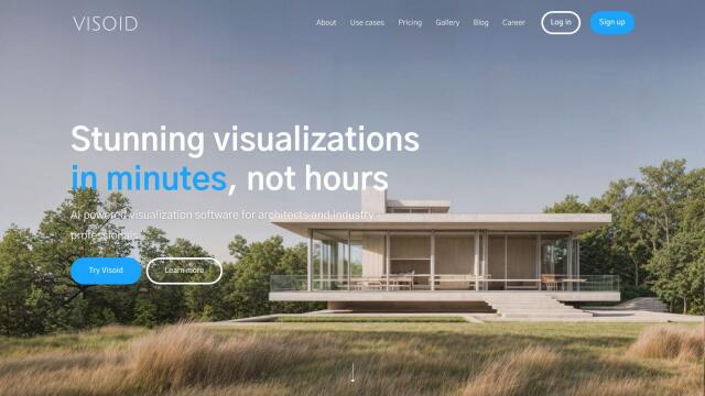
Creates high-quality 3D images in minutes, allowing architects to experiment with different materials, lighting, and seasons in a single, intuitive tool.

Hexagon screenshot thumbnail

Hexagon

Combines sensor, software, and autonomous technologies to increase efficiency, reduce waste, and improve sustainability across industries through data-driven digital reality solutions.

Placekey screenshot thumbnail

Placekey

Assigns a unique identifier to any physical location, standardizing address information for easy data sharing and integration across organizations.

PlaceKit screenshot thumbnail

PlaceKit

Fast, accurate, and global address search with autocomplete, geocoding, and store locator features for seamless user experiences and efficient address management.

Power Apps screenshot thumbnail

Power Apps

Build AI-infused apps quickly and easily with a low-code platform, starting with a prompt, photo, or data set, and automating development with AI suggestions.

Slatebox screenshot thumbnail

Slatebox

Create editable visualizations from natural language prompts in real-time, fostering efficient team collaboration and diagram creation.