Question: Is there a cost-effective way to track and analyze air quality data for a city or community?

Airly
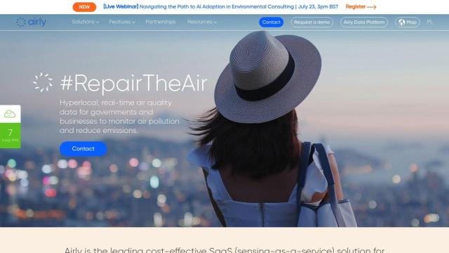
If you're looking for a relatively low-cost way to monitor and analyze air quality data for a city or neighborhood, Airly is a good choice. This SaaS service includes a network of sensors that supply real-time data on air quality, and it can help governments, companies and communities cut emissions and protect health. It also includes tools to analyze and visualize data, a mobile app to get information on the go, and customizable alerts to help people make decisions about environmental policy and urban planning.
Data Commons
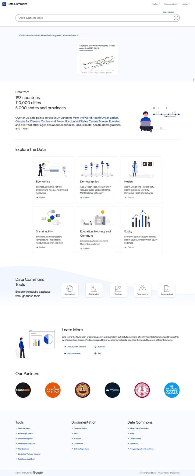
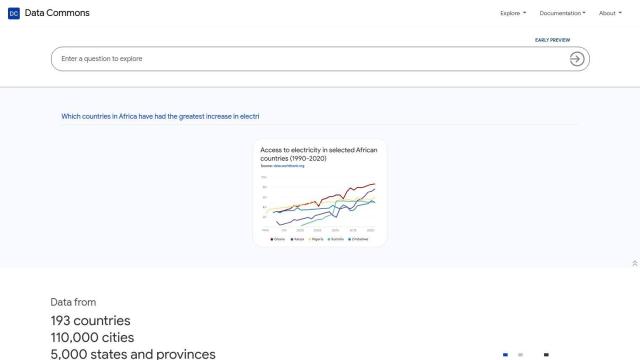
Another good resource is Data Commons, a public catalog of aggregated data covering many subjects, including sustainability and health. You can use a map explorer and place explorer to investigate data, and download data for your own analysis. With 240 billion data points and 260,000 variables, Data Commons is a good source of information that can be used in conjunction with other tools for more detailed analysis. It can help you make decisions in many areas, not just air quality.


CARTO
If you want to bring location intelligence into the mix, CARTO is a cloud-native platform for analyzing and visualizing spatial data at large scale. It's got a drag-and-drop interface, built-in GenAI abilities and access to more than 12,000 geospatial datasets. CARTO's cloud-agnostic design and app development abilities mean you can build powerful apps for business insights and decision-making.


INRIX
And INRIX has a suite of services designed to improve urban mobility, including real-time traffic information and safety alerts. It's geared for transportation, but its broad data analytics and location intelligence abilities can be used to support air quality monitoring and analysis, and can be useful for urban planning and community decision-making.

