Question: I need a service that allows me to easily build and share 3D maps of large public spaces, such as stadiums or malls.

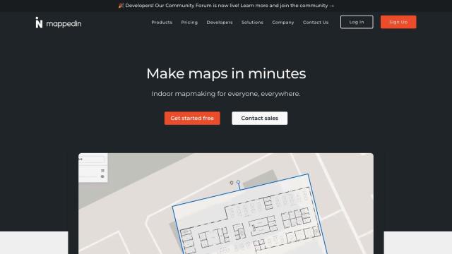
Mappedin screenshot thumbnail

Mappedin

If you're looking for a service to build and share 3D maps of large public spaces like stadiums or malls, Mappedin is a great option. It offers an indoor mapping platform with AI-powered tools for creating, publishing, and managing interactive 3D maps. It's designed for various industries, including stadiums and malls, and provides features like automated navigation and content enrichment. The platform also supports integrations with other mapping tools and offers tiered pricing, including a free plan.

Matterport screenshot thumbnail

Matterport

Another excellent choice is Matterport, which provides a full-stack platform for capturing, collaborating, and analyzing 3D digital twins of real-world sites. This platform is ideal for boosting property marketing, facilities management, and design and construction projects. It includes 3D camera capture, virtual tours, and AI-based analytics, with various pricing tiers and a free plan.

echo3D screenshot thumbnail

echo3D

For a more streamlined workflow, echo3D offers a cloud-based infrastructure for managing, updating, and sharing 3D content in real-time. It supports real-time analytics, multiple file formats, and cross-platform integration, making it easy to deploy 3D assets and customize experiences for different audiences. The platform also provides real-time analytics to see how people interact with your content.

Additional AI Projects

Polycam screenshot thumbnail

Polycam

Capture and create accurate 3D models with LiDAR scanning, photogrammetry, and 360-degree photos, and share them across platforms with ease.

Nearmap screenshot thumbnail

Nearmap

Transforms high-resolution aerial imagery into actionable insights with AI predictions, 3D modeling, and geospatial tools for informed business decisions.

Esri screenshot thumbnail

Esri

Uncover hidden patterns and drive predictive modeling with spatial analytics and machine learning, combining location-based data for innovative insights.

Bezi screenshot thumbnail

Bezi

Accelerate 3D design and prototyping with collaborative, real-time tools and generative AI, accessible to users without deep 3D skills.

Mapbox screenshot thumbnail

Mapbox

Create customizable, interactive maps with live-updating data and advanced navigation features for web, mobile, automotive, and AR applications.

Avataar screenshot thumbnail

Avataar

Create immersive 3D stories and videos with a fluid blend of digital and real-world elements, leveraging AI for easy model generation and cost savings.

Blippar screenshot thumbnail

Blippar

Create custom AR experiences without coding, using intuitive tools, 3D models, and tracking technology, with real-time feedback and iteration capabilities.

3D AI Studio screenshot thumbnail

3D AI Studio

Convert text or images into high-quality 3D assets in seconds, saving time and money with automated modeling, texturing, and exporting capabilities.

Meshy screenshot thumbnail

Meshy

Convert text and 2D images into 3D assets with speed and ease, creating models from text prompts in seconds and images in minutes.

3DFY.ai screenshot thumbnail

3DFY.ai

Generate high-quality 3D models from text prompts or single images, rapidly creating engaging 3D assets at scale with unprecedented efficiency.

Blockade Labs screenshot thumbnail

Blockade Labs

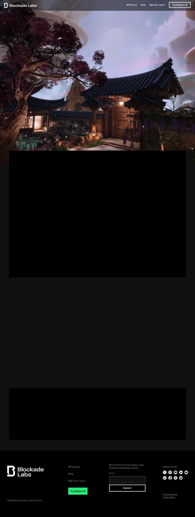
Generate 360° panoramic worlds with AI-powered text prompts or sketches, refining scenes with art styles, remixing, and 3D mesh exports for immersive experiences.

Cappasity screenshot thumbnail

Cappasity

Create immersive 3D, AR, and NFT shopping experiences with fast creation, easy embedding, and scalable production of high-quality 3D content.

ThingLink screenshot thumbnail

ThingLink

Create immersive, interactive visual experiences with hotspots, virtual tours, and simulations to improve learning outcomes and track engagement metrics.

Geoapify screenshot thumbnail

Geoapify

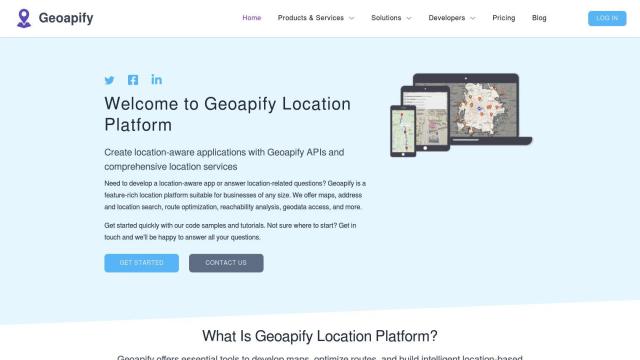
Build location-based apps with ease using a suite of APIs for mapping, geocoding, route optimization, and spatial analytics, with flexible pricing and no data restrictions.

Rapid Editor screenshot thumbnail

Rapid Editor

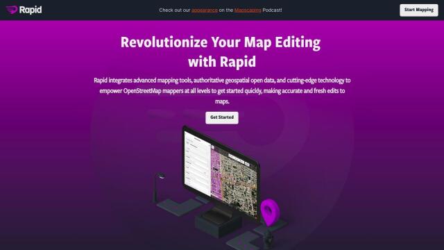
Automates map creation and updates using machine learning and satellite imagery, reducing manual effort and increasing accuracy.

CARTO screenshot thumbnail

CARTO

Analyze and visualize spatial data at any scale with native cloud integration, intuitive drag-and-drop interface, and built-in GenAI capabilities.

Sloyd screenshot thumbnail

Sloyd

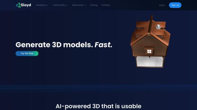
Generate high-quality, customizable 3D models quickly and easily using text prompts, with control over polycounts, UV-unwrapping, and LODs.

Depthify.ai screenshot thumbnail

Depthify.ai

Convert 2D photos and videos into 3D spatial content with AI-powered depth, stereo, and spatial encoding for immersive experiences on Apple Vision Pro and Meta Quest.
Virbela screenshot thumbnail

Virbela

Collaborate in immersive 3D virtual environments, accessible on desktop, phone, or VR headset, to boost productivity and overcome remote collaboration challenges.
Textomap screenshot thumbnail

Textomap

Automatically extracts locations from text-based content to create interactive maps in seconds, saving time and effort.

MapmyIndia screenshot thumbnail

MapmyIndia

Seamlessly navigate and optimize last-mile operations with integrated navigation, route planning, and location intelligence solutions powered by India's best maps.