Question: Do you know of a platform that uses AI and geospatial data to identify and prioritize high-impact events?


Esri
Esri is a mature GIS mapping software package that marries location analytics and machine learning for location intelligence and spatial analytics. It's got tools for 3D visualization, GIS mapping, spatial analysis and real-time decision-making. It's widely used across many industries, including retail site selection, asset management and infrastructure planning, so it's a good general-purpose option for spotting and flagging high-impact events.


Nearmap
Nearmap offers high-resolution imagery and 3D modeling plus AI predictions and geospatial tools. It helps businesses, communities and governments make better decisions by offering up to date aerial imagery, powerful 3D models and AI generated datasets for property attributes. Its disaster response and environmental monitoring abilities make it a good option for spotting and responding to high-impact events.

Dataminr Pulse
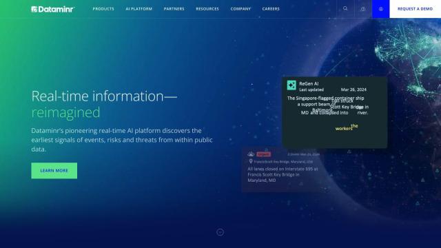
Dataminr Pulse is a real-time risk and event discovery platform that uses predictive and generative AI to help businesses minimize disruption and protect people. It offers real-time alerts contextualized with geospatial information and advanced corporate security tools. It's designed to help companies respond quickly to rapidly evolving risks and unexpected events, so it's a good option for operational resilience.


