Question: I'm looking for a solution that enables 3D visualization of spatial data for better insights and decision-making.


Esri
For 3D visualization of spatial data to get a better understanding and make decisions, Esri is a top option. Esri's GIS mapping software marries location intelligence with machine learning for spatial analytics. The software includes 3D visualization tools, GIS mapping and spatial analysis, and is good for retail, supply chain optimization and infrastructure planning. It can run on cloud or on-premise infrastructure, and you can try it for free for 21 days.


CARTO
Another option is CARTO, a cloud-native location intelligence platform for processing and visualizing spatial data at large scale. CARTO's drag-and-drop interface and more than 100 pre-built analysis components let you build applications with spatial data. It integrates with leading cloud data warehousing services like BigQuery and Snowflake, has built-in GenAI abilities, rich data visualization and built-in abilities to publish and share insights securely. CARTO is designed for enterprise customers with advanced security and flexible pricing.


Nearmap
Nearmap also offers powerful 3D modeling and AI predictions to inform decisions. Its platform includes high-resolution aerial imagery, 360-degree panoramic imagery and near-infrared imagery for environmental monitoring. Nearmap is used by insurance, commercial and government customers to lower risk, improve operations and boost customer satisfaction, so it's good for urban planning, infrastructure and emergency services.

Matterport
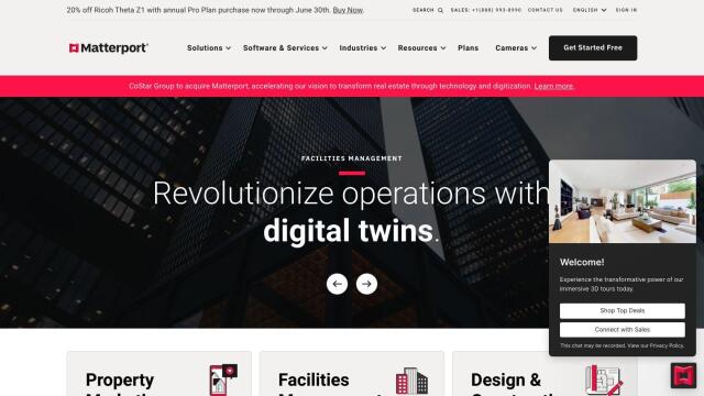
If you're looking for something more specialized, Matterport offers a full-stack platform for capturing and analyzing 3D digital twins of real-world sites. That's good for property marketing, facilities management and construction projects. It offers a variety of cameras, virtual tours and integration with industry tools like Procore and Autodesk, and offers big benefits like better project planning efficiency and better customer engagement.


