
AI Clearing
If you're looking for a DroneDeploy alternative, AI Clearing is another option. It's a digital field construction progress tracking system that uses machine learning to create detailed 3D site reports. The system combines drone and other digital data sources for sophisticated 4D geospatial analysis, presenting results through interactive online dashboards and PDF reports. It's designed to shorten reporting cycles, cut costs and improve communication, and is suited for a variety of construction projects.


Nearmap
Another good candidate is Nearmap. The location intelligence platform offers high-resolution imagery, 3D modeling and AI predictions to help businesses make more informed decisions. With tools like proprietary aerial imagery, 3D visualization models and AI-generated datasets, Nearmap can be used for urban planning, environmental monitoring and disaster response, among other uses. It's good for businesses that need current and accurate visual data to inform their decisions and operations.

Dataloop
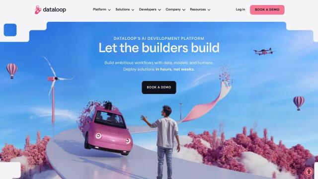
If you need an AI development platform, Dataloop is a good option. It's an end-to-end platform for data curation, model management, pipeline orchestration and human feedback to speed up AI application development. The platform handles many types of unstructured data and has strong security controls to meet GDPR, ISO 27001 and SOC 2 Type II requirements. Dataloop is designed to facilitate collaboration and speed up development, so it's a good fit for companies that want to use AI for many different tasks.

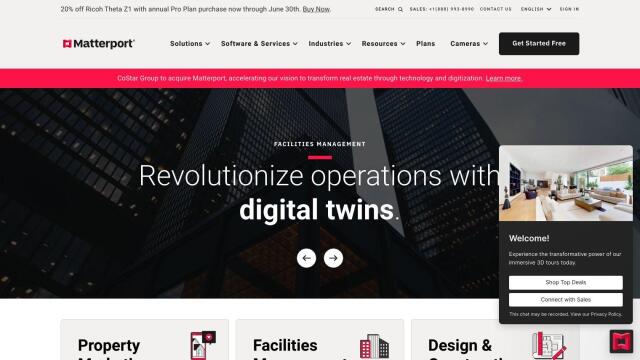
Matterport
Last, Matterport is a full-stack platform for capturing, collaborating and analyzing 3D digital twins of real-world sites. Features like 3D camera capture, virtual tours and AI-based analytics make Matterport useful for property marketing, facilities management and design and construction projects. It integrates with industry tools like Procore and Autodesk, and offers several pricing tiers depending on your business needs.

