Airdata Alternatives
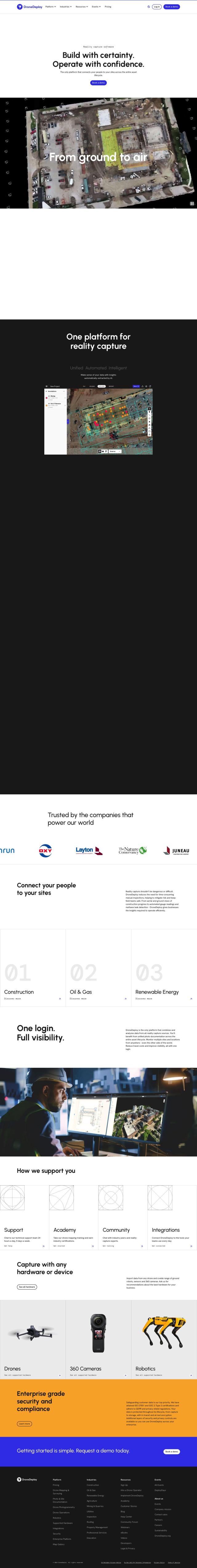
Unlock 360-degree views of flights, track maintenance, and create custom reports to optimize drone operations and ensure safer, more reliable flights.
DroneDeploy screenshot thumbnail

DroneDeploy

If you're looking for an alternative to Airdata, DroneDeploy is a full-featured drone mapping and photo documentation service. It collects data from drones, robots and 360 cameras, and offers AI-based insights through automated capture and automated data extraction. It's good for monitoring progress and finding trouble spots in construction, oil and gas and renewable energy.
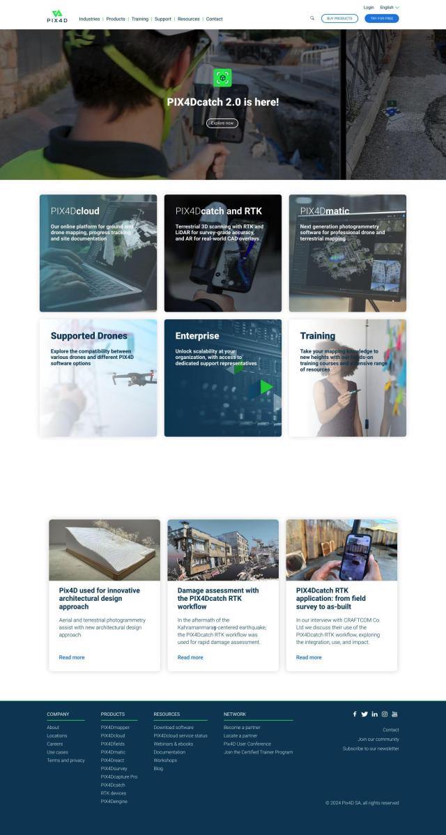
PIX4D screenshot thumbnail

PIX4D

Another good option is PIX4D, a photogrammetry software family that takes images from drones and cameras and processes them into maps and 3D models. It has several products for different markets, including surveying, architecture and precision agriculture. PIX4D has flexible processing options and collaboration tools, so it's a good choice for detailed analytics and insights.
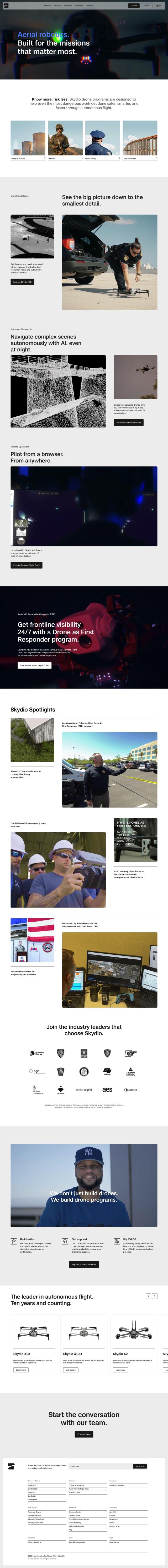
Skydio screenshot thumbnail

Skydio

If you need more advanced aerial robotics, Skydio offers self-piloting drones with AI smarts that can gather data in difficult situations. The drones can fly autonomously, avoiding obstacles, and can be piloted remotely. Skydio is good for Energy & Utilities, Defense and Public Safety customers, with features like the best optics and remote operations.

FlyPix screenshot thumbnail

FlyPix

Last, FlyPix offers AI-based geospatial services that turn complex imagery into information you can act on. It can detect, locate and track objects, which is good for government, construction and renewable energy customers. FlyPix has strong encryption and an easy-to-use interface so you can get your data analyzed quickly and easily.

More Alternatives to Airdata

AI Clearing screenshot thumbnail

AI Clearing

Generates 3D site reports with 100% site coverage, providing accurate and efficient progress monitoring, reducing re-work costs and litigation risks.

FlightAware screenshot thumbnail

FlightAware

Access real-time, predictive, and historical aviation data for informed decision-making and integration.

Fleet Complete screenshot thumbnail

Fleet Complete

Combines telematics, GPS tracking, and AI-powered dash cameras to optimize fleet efficiency, safety, compliance, and sustainability with real-time insights and data visualizations.

Geotab screenshot thumbnail

Geotab

Leverage AI-driven insights and recommendations to optimize fleet operations, improve safety, and reduce emissions, while automating compliance and increasing productivity.

IntelliShift screenshot thumbnail

IntelliShift

Unifies telematics, AI dash cams, inspections, compliance, and maintenance tools in a single interface, providing fleet managers with a deeper understanding of their operations.

SmartDrive screenshot thumbnail

SmartDrive

Video-based safety platform providing insights into driver performance, identifying risky behaviors, and optimizing transportation data to reduce collisions and operating costs.

MaintainX screenshot thumbnail

MaintainX

Optimizes asset maintenance with AI-driven scheduling, automated triggers, and customizable dashboards to minimize downtime and maintenance costs.

Omnitracs screenshot thumbnail

Omnitracs

Combines fleet management expertise with AI and machine learning to provide actionable insights, optimize business performance, and improve driver satisfaction and safety.

Viam screenshot thumbnail

Viam

Unify and optimize machine operations with AI-driven insights, real-time telemetry, and predictive maintenance, bridging software and hardware for streamlined efficiency.

Motive screenshot thumbnail

Motive

Optimizes fleet management across safety, maintenance, and spend with AI-powered automation, providing 360° visibility and real-time insights to increase efficiency and profitability.

Exosite screenshot thumbnail

Exosite

Monitor and manage equipment fleets in real-time, predicting maintenance and optimizing operations with customizable dashboards and scalable integration.

Bytebeam screenshot thumbnail

Bytebeam

Manage connected vehicles with real-time health monitoring, over-the-air updates, and remote diagnostics, accelerating go-to-market and improving the driving experience.

Lytx screenshot thumbnail

Lytx

Unifies fleet management with AI-powered video safety, telematics, and compliance solutions to improve driver behavior, reduce costs, and enhance operational efficiency.

Trackunit screenshot thumbnail

Trackunit

Connects people, machines, and processes to minimize downtime, optimize operations, and increase productivity in the construction industry.

Samsara screenshot thumbnail

Samsara

Samsara's fleet operations platform connects cameras, sensors, and workflows for faster, more confident decisions.

ClearPathGPS screenshot thumbnail

ClearPathGPS

Gain real-time visibility into fleet operations, tracking vehicles and assets, and receive actionable insights to reduce costs and improve ROI.

Cartrack screenshot thumbnail

Cartrack

Real-time fleet management and automation platform providing data analysis, driver safety alerts, and customizable performance monitoring to optimize operations and reduce costs.

Nearmap screenshot thumbnail

Nearmap

Transforms high-resolution aerial imagery into actionable insights with AI predictions, 3D modeling, and geospatial tools for informed business decisions.

Ubidots screenshot thumbnail

Ubidots

Visualize data in real-time with codeless dashboards, smart alerts, and scheduled reports to optimize operations and drive digital transformation.

Driver•i screenshot thumbnail

Driver•i

Provides real-time insights into fleet operations, enabling proactive measures to prevent accidents, improve driver behavior, and optimize fleet performance.