Question: Is there a navigation app that offers real-time traffic updates and dynamic lane guidance?
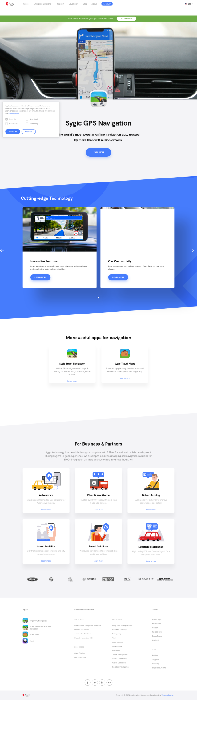
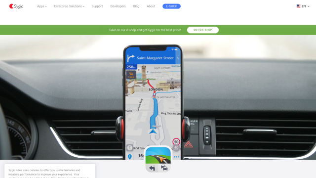
Sygic GPS Navigation
If you want a navigation app that shows real-time traffic and lane guidance, Sygic GPS Navigation is a good choice. The app offers offline GPS navigation for iPhone, Android and Windows phones, with real-time traffic updates, dynamic lane help and other tools like fuel price updates and parking spot directions. It also offers separate apps for truck and caravan drivers, trip planning and tourist guides.


MapmyIndia
If you need something more specialized, MapmyIndia offers a broad range of navigation and connected services for cars. The service offers real-time traffic updates, HD Maps and a variety of APIs and SDKs to bring navigation and traffic data into other apps. That makes it good for consumers and developers who want to build better navigation.


Mapbox
Last, Mapbox offers APIs and SDKs for customizable maps, advanced navigation and location search. With live updating data, traffic-aware travel times and precise location search, Mapbox is good for building custom navigation. It can be used for everything from connected navigation to data analysis, and offers a variety of pricing plans to suit different needs.