Question: Is there a location platform that offers flexible pricing and unlimited storage for geospatial data?

Geoapify
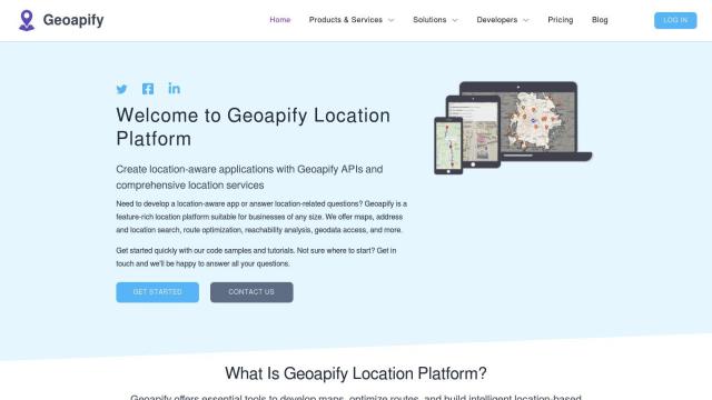
Geoapify is a powerful full location platform that offers a variety of APIs for building location-based applications and services. It offers advanced mapping, geocoding, route optimization and spatial analysis tools, so you can create interactive vector and raster maps. Geoapify offers a permissive license that allows you to cache, store and redistribute geospatial data without any restrictions. It offers competitive pricing options, including a free plan with 3,000 credits per day, paid plans with different credit levels, and unmetered API requests for high usage.


CARTO
CARTO is another good option, a cloud-native location intelligence platform that lets you analyze, visualize and build applications with spatial data at scale. It runs on a variety of cloud platforms, offers an intuitive drag-and-drop interface, 100+ pre-built analysis components and rich data visualization. CARTO has access to more than 12,000 geospatial datasets and offers flexible pricing, including a 14-day free trial, so it's a good option for companies that want to tap into spatial analytics.


Radar
If you're looking for a platform that prioritizes accuracy and privacy, Radar is worth a look. It offers geofencing, geocoding and mapping with hyper-accurate geofencing and unlimited geofences. Radar's tiered pricing model includes a free plan for up to 100,000 API calls or 1,000 monthly tracked users, and scalable pricing for core and premium APIs. It also integrates with popular tools like Segment, Amplitude and Braze, and has strong privacy and security.


