Question: Is there a platform that can collect high-resolution data for research projects on plant growth and biomechanics?

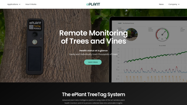
ePlant
If you're looking for a platform to gather high-resolution data for research into plant growth and biomechanics, ePlant is worth a look. ePlant combines wireless sensors and AI to transform plant growth, biomechanics and environmental data into insights. Its TreeTag wireless sensor keeps tabs on individual tree health by monitoring growth, stress and environmental factors like temperature, light and humidity. The system is designed to be easy to maintain and offers real-time sensor measurements, making it a good choice for research and precision agriculture.


EOSDA
Another option is EOSDA, a geospatial data analytics platform that combines satellite imagery with machine learning algorithms. It offers tools for precision agriculture and forestry, including crop monitoring, yield forecasting, soil moisture monitoring and carbon modeling. EOSDA's high-resolution satellite imagery can help you assess land use at a detailed level, which can be useful for your research.


Nearmap
For a broader range of uses, Nearmap offers location intelligence with high-resolution imagery, 3D modeling and AI predictions. It offers tools for urban planning, environmental monitoring, infrastructure and other uses. Nearmap's proprietary aerial imagery and AI-generated data sets can help you automate operations and make better decisions, both for research and practical use.
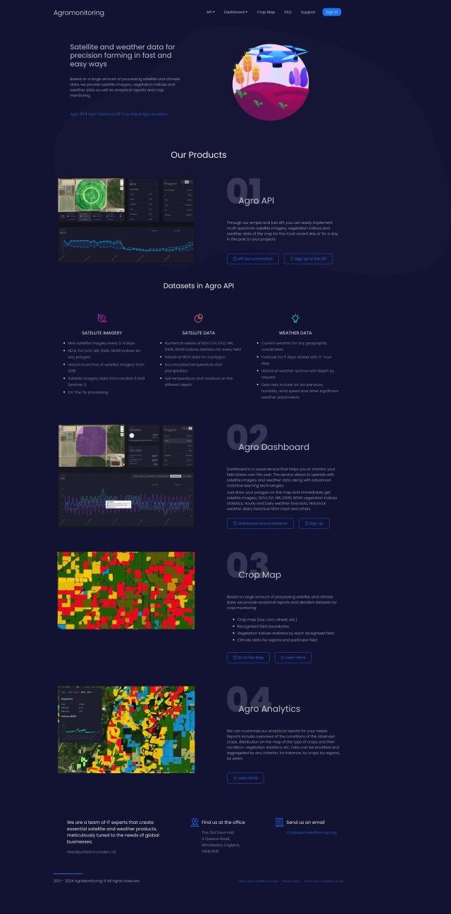
Agromonitoring
Last, Agromonitoring offers a precision farming service using satellite and weather data to help you manage crops. It includes tools like Agro API to incorporate satellite imagery and weather data into your projects, Agro Dashboard to monitor fields, and Agro Analytics for more detailed crop condition analysis. The service offers up to date satellite imagery every 2-4 days and historical archives, so it's good for crop monitoring and research.
