Question: I'm looking for a GPS navigation app that provides augmented reality features for safer driving.

Sygic GPS Navigation screenshot thumbnail

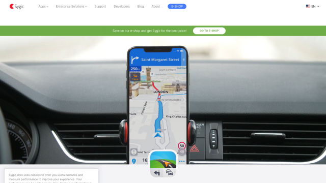
Sygic GPS Navigation

If you're in the market for a GPS navigation app with augmented reality abilities to help you drive more safely, Sygic GPS Navigation is a good option. The app offers offline GPS navigation for iPhone, Android and Windows phones, with Augmented Reality navigation, Real View Navigation, Head-up Display, Sign Recognition, Cockpit and Dashcam. It also has some useful features like fuel price updates, parking spot directions and dynamic lane guidance, so it's a good all-purpose tool to help you drive more safely and efficiently.

MapmyIndia screenshot thumbnail

MapmyIndia

Another contender is MapmyIndia, which offers integrated navigation and connected car features. It's got RealView 360° panoramic street imagery and HD Maps, and offers APIs and SDKs for maps, traffic, search, geocoding and other data. The platform is geared to offer consumers a good navigation experience and to offer customized solutions to businesses and developers.

Additional AI Projects

Mobileye screenshot thumbnail

Mobileye

Utilizes a single, low-cost camera sensor to improve vehicle safety, enabling advanced driver-assist systems and self-driving solutions for the automotive industry.

Mapbox screenshot thumbnail

Mapbox

Create customizable, interactive maps with live-updating data and advanced navigation features for web, mobile, automotive, and AR applications.

Google Lens screenshot thumbnail

Google Lens

Uses your phone's camera to recognize and identify objects, text, and visual content, providing instant information and answers without typing.
GeoZilla screenshot thumbnail

GeoZilla

Tracks family members' locations in real-time with GPS and machine learning, providing crash detection, alerts, and safety reports to ensure their safety.

Samsara screenshot thumbnail

Samsara

Samsara's fleet operations platform connects cameras, sensors, and workflows for faster, more confident decisions.

INRIX screenshot thumbnail

INRIX

Harnesses 50 petabytes of transportation data to provide real-time traffic insights, crash alerts, and parking analytics, optimizing urban mobility and road safety.

Sentiance screenshot thumbnail

Sentiance

Provides real-time driving insights, crash detection, and mobility analysis to improve road safety, reduce risks, and promote sustainable transportation.

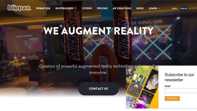
Blippar screenshot thumbnail

Blippar

Create custom AR experiences without coding, using intuitive tools, 3D models, and tracking technology, with real-time feedback and iteration capabilities.

Cambridge Mobile Telematics screenshot thumbnail

Cambridge Mobile Telematics

Analyzes hundreds of billions of miles of driving data to provide a complete picture of vehicle and driver behavior, promoting safer driving and lower insurance rates.

Driver•i screenshot thumbnail

Driver•i

Provides real-time insights into fleet operations, enabling proactive measures to prevent accidents, improve driver behavior, and optimize fleet performance.

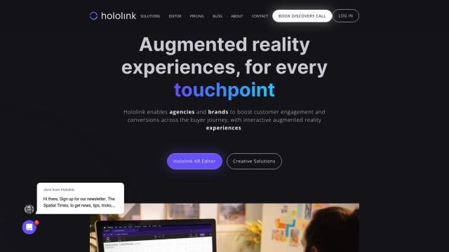
Hololink screenshot thumbnail

Hololink

Create engaging and immersive AR experiences with a drag-and-drop editor, empowering increased customer engagement and conversion rates across the customer journey.

SightCall screenshot thumbnail

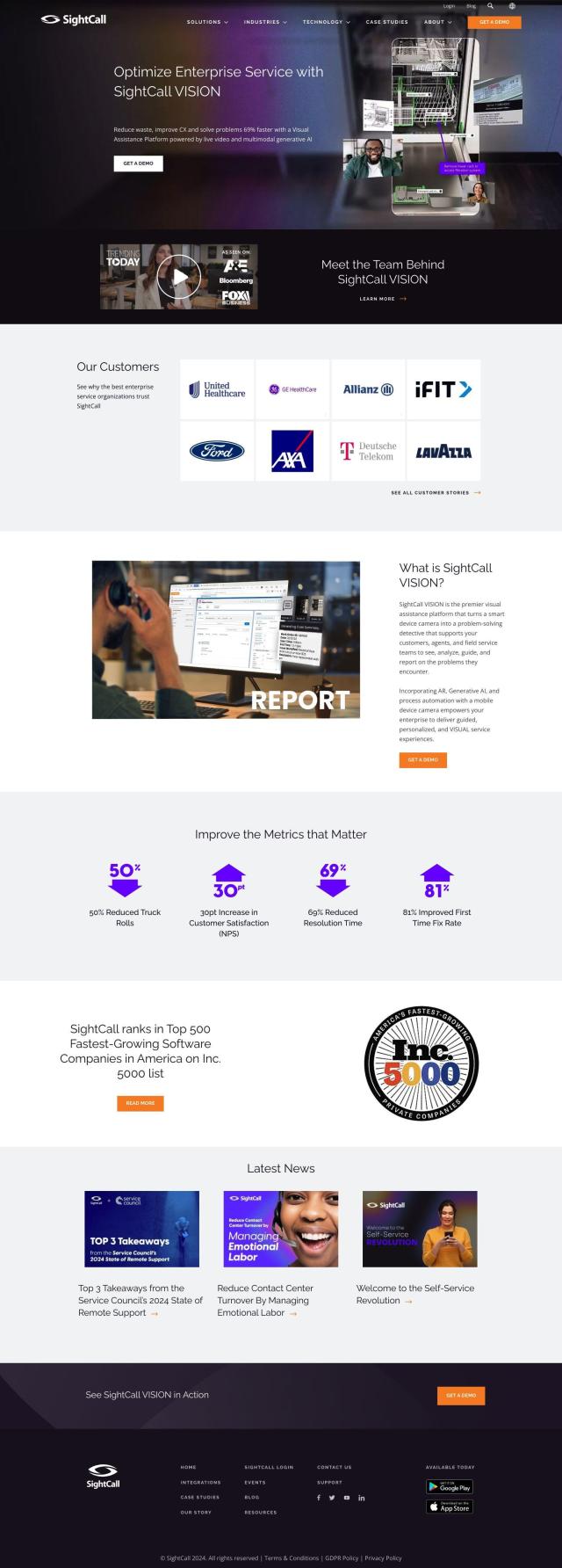
SightCall

Combines live video and multimodal generative AI to resolve issues 69% faster and increase customer satisfaction through guided and personalized service experiences.

Geoapify screenshot thumbnail

Geoapify

Build location-based apps with ease using a suite of APIs for mapping, geocoding, route optimization, and spatial analytics, with flexible pricing and no data restrictions.

PingPath screenshot thumbnail

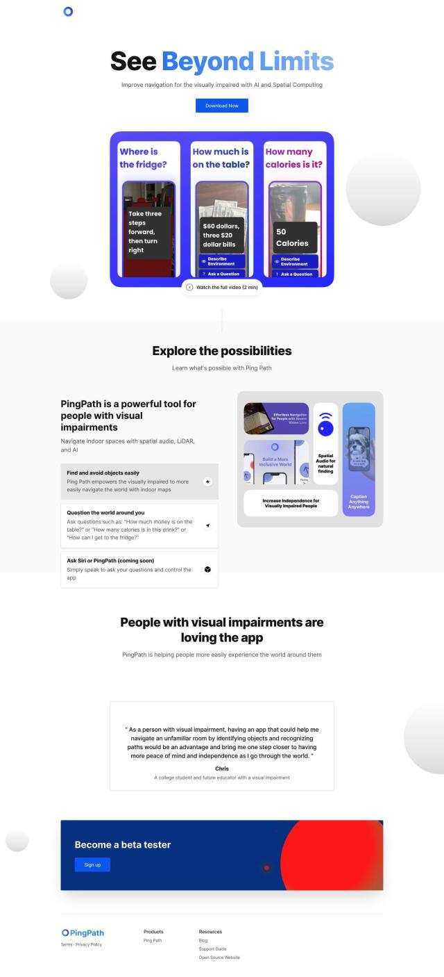
PingPath

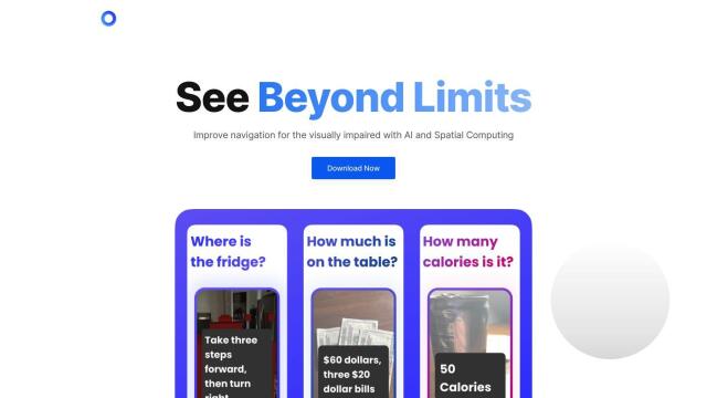
Navigates indoor spaces using spatial audio, LiDAR, and AI to identify and avoid objects, promoting independence and confidence for visually impaired individuals.

Lytx screenshot thumbnail

Lytx

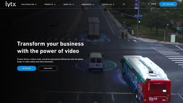
Unifies fleet management with AI-powered video safety, telematics, and compliance solutions to improve driver behavior, reduce costs, and enhance operational efficiency.

Routora screenshot thumbnail

Routora

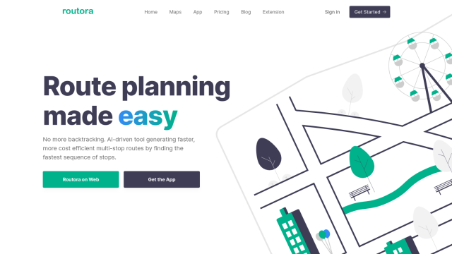
Reorders stops for the most efficient route, minimizing backtracking and saving time and fuel, with easy upload and download of optimized routes.

Omnitracs screenshot thumbnail

Omnitracs

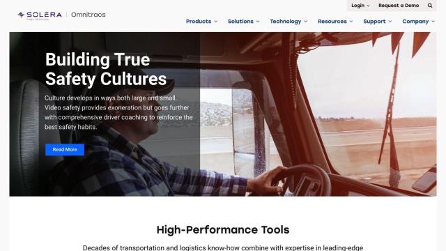
Combines fleet management expertise with AI and machine learning to provide actionable insights, optimize business performance, and improve driver satisfaction and safety.

Arity screenshot thumbnail

Arity

Analyzes trillions of miles of driving data to provide actionable insights for insurers, marketers, and communities, enabling personalized services and targeted solutions.

Geotab screenshot thumbnail

Geotab

Leverage AI-driven insights and recommendations to optimize fleet operations, improve safety, and reduce emissions, while automating compliance and increasing productivity.

8th Wall screenshot thumbnail

8th Wall

Create immersive web-based augmented reality and 3D experiences accessible through ordinary web browsers, no app downloads required.

Snap AR screenshot thumbnail

Snap AR

Build and publish augmented reality experiences for various use cases, with tools for designers and developers to create and analyze AR effects.

Radar screenshot thumbnail

Radar

Radar combines geofencing, geocoding, and mapping for accurate, cost-effective location-based experiences.