Question: Can you recommend a platform that combines drone mapping and photo documentation for asset lifecycle management?

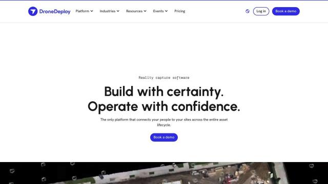
DroneDeploy
If you're looking for a platform that combines drone mapping and photo documentation for asset lifecycle management, DroneDeploy is an excellent option. It aggregates data from various sources like drones, robots, 360 cameras, and smartphones, and offers intelligent insights through AI-powered data extraction. The platform is used in construction, oil and gas, and renewable energy, helping users track progress, identify problems, and reduce rework. It's enterprise-grade with robust security and compliance features, making it suitable for businesses of all sizes.

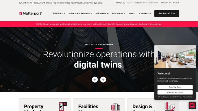
Matterport
Another strong contender is Matterport, which focuses on capturing and analyzing 3D digital twins of real-world sites. Using immersive virtual experiences, it boosts property marketing, facilities management, and design and construction projects. The platform includes a range of camera choices, AI-based analytics, and integration with industry tools like Procore and Autodesk. Matterport also offers capture services and various pricing tiers, making it a versatile option for different business needs.


AI Clearing
For detailed 3D site reports and advanced geospatial analytics, consider AI Clearing. This platform uses machine learning technology to generate detailed 3D site reports, covering 100% of a construction site. It integrates data from drones and other digital sources to offer fast reporting, cost savings, and improved communication and operations planning, making it ideal for construction projects of varying sizes.


Nearmap
Lastly, Nearmap provides a comprehensive location intelligence platform with high-resolution imagery, 3D modeling, AI predictions, and geospatial tools. It helps businesses, communities, and governments make better decisions by offering current views from multiple angles, powerful 3D visualization, and AI-generated datasets for property attributes. Nearmap is particularly useful for urban planning, environmental impact assessments, infrastructure development, and real estate applications.


