Question: Is there a drone flight data management tool that supports multiple drone models and flight apps, and provides a 360-degree view of flights?

Airdata screenshot thumbnail

Airdata

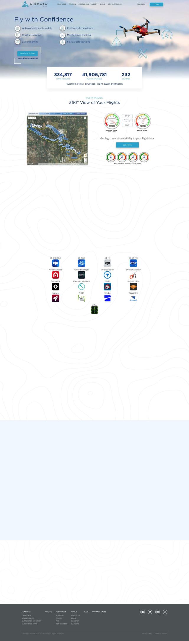
If you're looking for a more general-purpose drone flight data management tool that works with multiple models of drones and flight apps, Airdata is a strong contender. It offers advanced analytics, maintenance tracking and customizable reports to help you fly more safely and reliably. With features like automatic flight log uploads and detailed performance tracking, Airdata offers a wealth of information to help you fly safer, more efficiently and better. It offers tiered pricing plans to accommodate different users, including a free plan for hobbyists.

DroneDeploy screenshot thumbnail

DroneDeploy

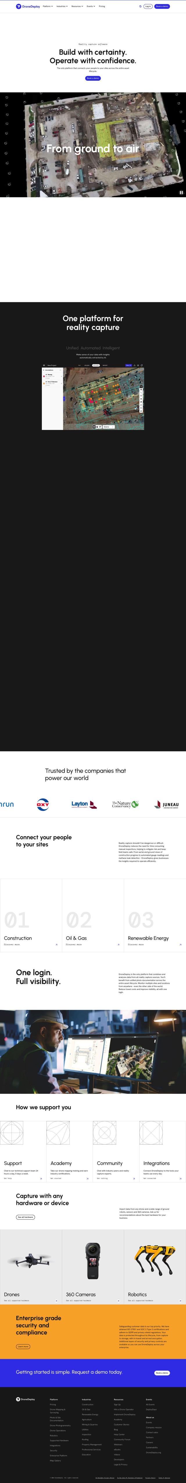
Another powerful option is DroneDeploy, which combines drone mapping and photo documentation for a variety of industries, including construction and renewable energy. It can gather data from multiple sources, including drones, robots and smartphones, and offer smart insights through AI-powered data extraction. The service includes a flight app for planning and mobile uploads, and it's geared for enterprise customers with security and compliance certifications.
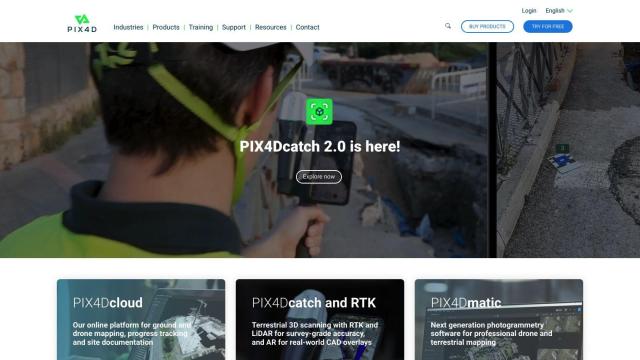
PIX4D screenshot thumbnail

PIX4D

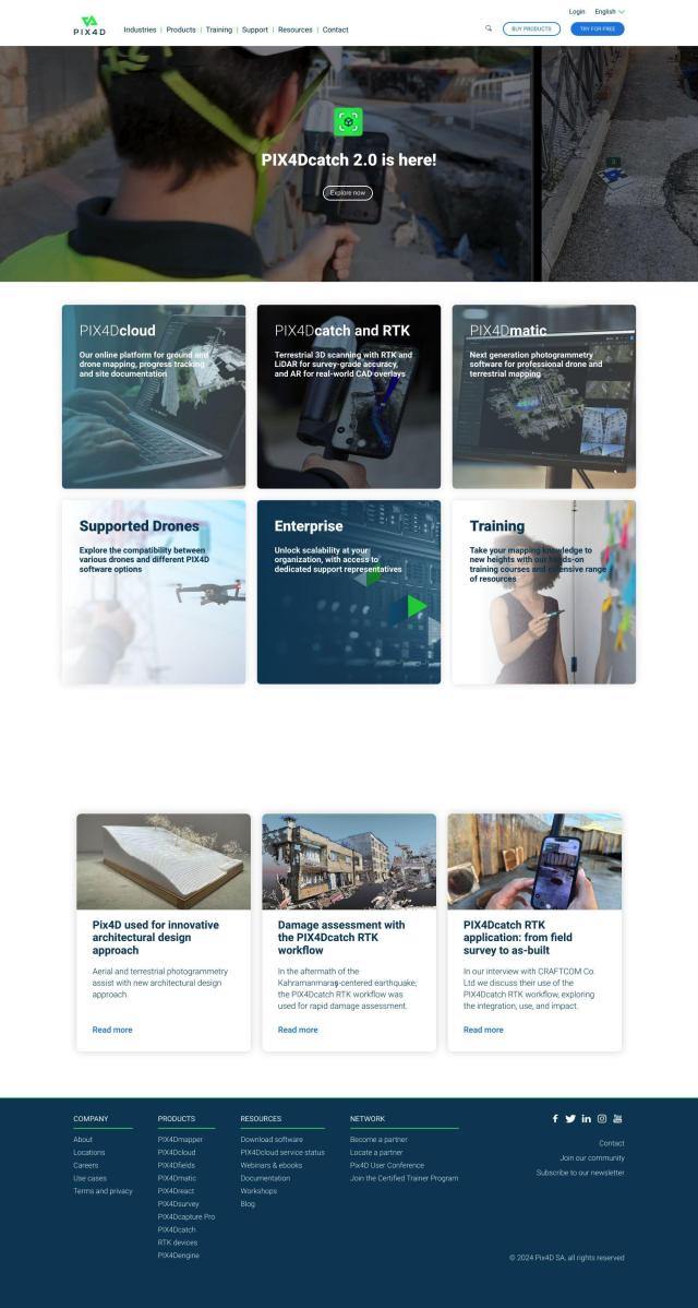
For those who need serious photogrammetry power, PIX4D offers a family of software products to capture, process and analyze drone and camera imagery. It can create detailed maps and 3D models, and is used in industries like surveying, architecture and precision agriculture. With flexible processing options and collaboration tools, PIX4D is good for pros and businesses that need to wring as much data out of their flights as possible.

Additional AI Projects

Skydio screenshot thumbnail

Skydio

Capture detailed data in challenging environments with AI-powered autonomous drones, featuring ultra-high resolution cameras and obstacle avoidance.

FlyPix screenshot thumbnail

FlyPix

Detect, localize, track, and monitor objects across industries with advanced AI models, generating actionable, geo-referenced insights from complex imagery.

Hexagon screenshot thumbnail

Hexagon

Combines sensor, software, and autonomous technologies to increase efficiency, reduce waste, and improve sustainability across industries through data-driven digital reality solutions.

AI Clearing screenshot thumbnail

AI Clearing

Generates 3D site reports with 100% site coverage, providing accurate and efficient progress monitoring, reducing re-work costs and litigation risks.

Nearmap screenshot thumbnail

Nearmap

Transforms high-resolution aerial imagery into actionable insights with AI predictions, 3D modeling, and geospatial tools for informed business decisions.

FlightAware screenshot thumbnail

FlightAware

Access real-time, predictive, and historical aviation data for informed decision-making and integration.

Polycam screenshot thumbnail

Polycam

Capture and create accurate 3D models with LiDAR scanning, photogrammetry, and 360-degree photos, and share them across platforms with ease.

Scale screenshot thumbnail

Scale

Provides high-quality, cost-effective training data for AI models, improving performance and reliability across various industries and applications.

Fleet Complete screenshot thumbnail

Fleet Complete

Combines telematics, GPS tracking, and AI-powered dash cameras to optimize fleet efficiency, safety, compliance, and sustainability with real-time insights and data visualizations.

Geotab screenshot thumbnail

Geotab

Leverage AI-driven insights and recommendations to optimize fleet operations, improve safety, and reduce emissions, while automating compliance and increasing productivity.

Omnitracs screenshot thumbnail

Omnitracs

Combines fleet management expertise with AI and machine learning to provide actionable insights, optimize business performance, and improve driver satisfaction and safety.

Airtable screenshot thumbnail

Airtable

Operationalize data and redesign workflows with AI-driven automation, custom interfaces, and real-time data visualization, all without extensive coding.

Canvas screenshot thumbnail

Canvas

Link, query, and visualize data from 150+ SaaS tools without coding, empowering non-technical teams to make data-informed decisions.

Dataloop screenshot thumbnail

Dataloop

Unify data, models, and workflows in one environment, automating pipelines and incorporating human feedback to accelerate AI application development and improve quality.

Roboflow screenshot thumbnail

Roboflow

Automate end-to-end computer vision development with AI-assisted annotation tools, scalable deployment options, and access to 50,000+ pre-trained open source models.

Domo screenshot thumbnail

Domo

Unifies data from any source, providing AI-driven insights and automation to drive real-time decisions and meaningful actions across the organization.

Airbyte screenshot thumbnail

Airbyte

Seamlessly integrate data from 300+ sources to destinations, with features like custom connector building, unstructured data extraction, and automated schema evolution.

DataRobot AI Platform screenshot thumbnail

DataRobot AI Platform

Centralize and govern AI workflows, deploy at scale, and maximize business value with enterprise monitoring and control.

Birdview screenshot thumbnail

Birdview

Leverage AI-powered tools to forecast project duration, automate interactions, and create project templates, streamlining project management and resource planning.

Mode screenshot thumbnail

Mode

Unify data analysis and visualization with SQL, R, Python, and interactive dashboards to accelerate insights and collaboration across teams.

Dash screenshot thumbnail

Dash

Build interactive, data-driven applications with Python, deploying and sharing with a single click, and scaling on any cloud infrastructure.