Question: What companies provide digital solutions for the oilfield industry, such as automated field production and subsurface modeling?

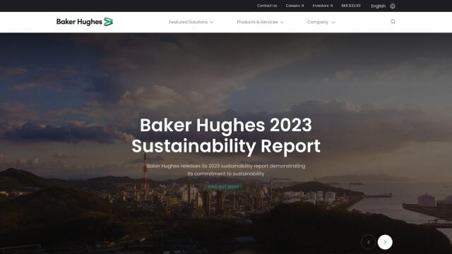
Baker Hughes
For a broad suite of digital solutions in the oilfield industry, Baker Hughes is a strong contender. The company's Oilfield Services & Equipment Digital business offers automated field production, subsurface modeling and remote operations. It also offers AI technology, NDT software and other digital solutions to improve efficiency and lower emissions.


Esri
Esri makes GIS mapping software and spatial analytics tools that could be very useful in the oilfield. Its platform includes 3D visualization, location intelligence and spatial analysis that can be used for predictive modeling and real-time decision making. That can be particularly useful for asset management and infrastructure planning.


CARTO
CARTO is another powerful option, a cloud-native location intelligence platform that lets you analyze and visualize spatial data at large scale, a potentially useful foundation for optimizing field operations and business insights. CARTO lets you build apps at large scale and has access to more than 12,000 geospatial data sets through the Data Observatory.


Zyfra
Zyfra offers industrial digital solutions that can help improve the efficiency and safety of oil and gas operations. Its platform includes tools for remote monitoring, production control and video monitoring that can help reduce downtime and increase productivity. The platform is geared to Industry 4.0 principles with the ability to monitor cost reduction and environmental emissions.


