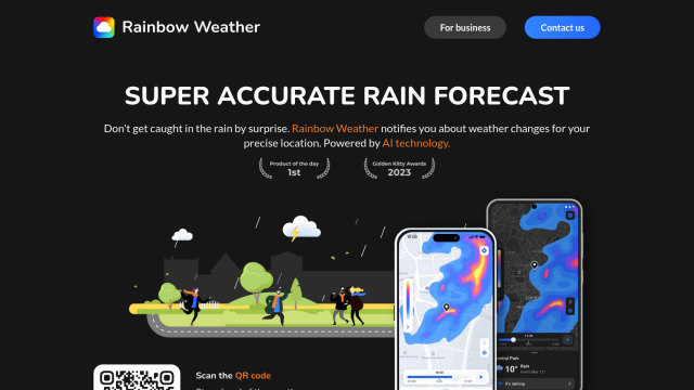
Question: Looking for a customizable weather monitoring system that can be used in various industries such as healthcare, sports, and infrastructure management.
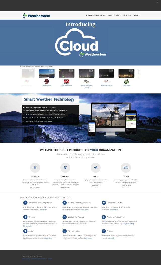
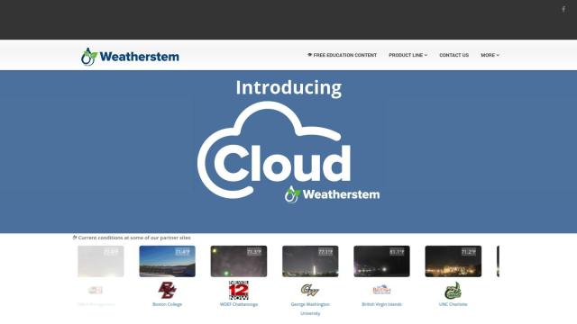
Weatherstem screenshot thumbnail

Weatherstem

Weatherstem is a full-featured system for tracking and alerting people to different weather conditions. It tracks WBGT, detects lightning, shows current radar and satellite imagery, logs data, and more. Weatherstem is customizable and is geared for schools, colleges, hospitals, airports and recreation centers, with products like Protect for asset protection and Varsity for athletic programs. Installation and training services are also available.
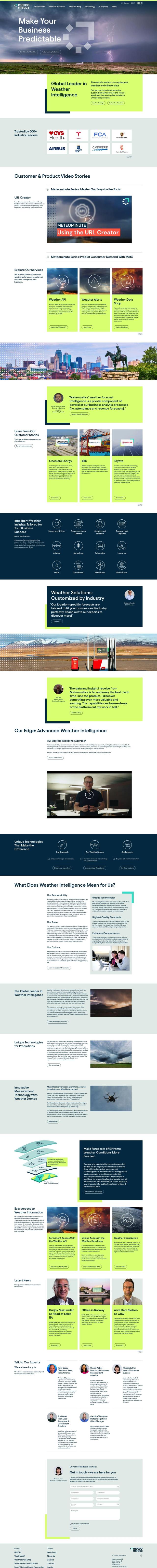
Meteomatics screenshot thumbnail

Meteomatics

Meteomatics is a weather and climate data service that offers continuous access to global high-resolution data. It offers customizable Weather Alerts, a Weather Data Shop where you can download individual data sets, and EURO1k, a European weather model with 1 km resolution. Meteomatics gathers data with modern methods like Meteodrones and Meteobases, and offers high-resolution map views of weather events. More than 600 industry partners use the service for tasks like energy consumption optimization and crew response optimization.
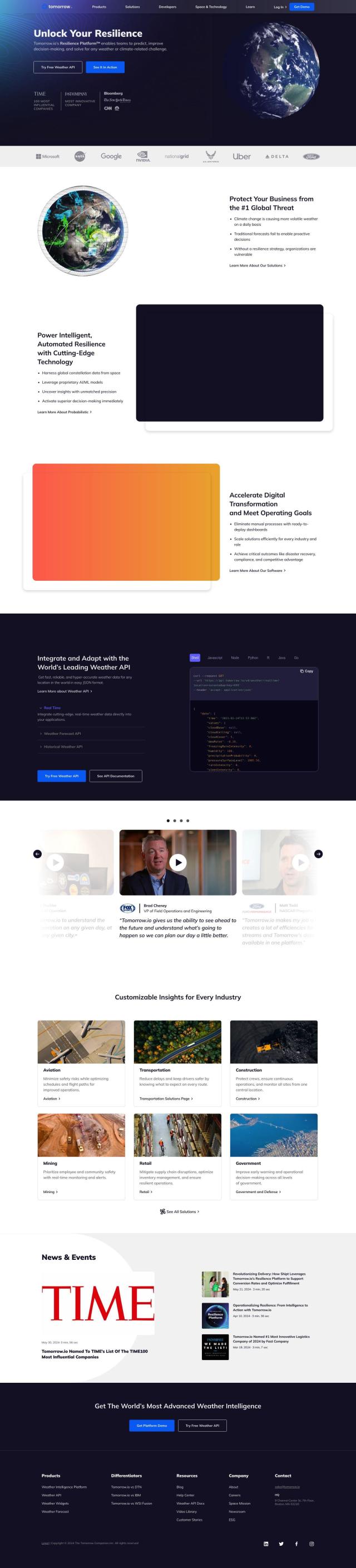
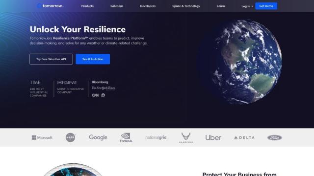
Tomorrow.io screenshot thumbnail

Tomorrow.io

Tomorrow.io is a weather resilience platform that offers hyper-accurate weather data and forecasts. It includes real-time weather data, weather forecast API, historical weather API and automated protocols to help businesses forecast and prepare for weather challenges. The service is geared for businesses like supply chain management and disaster recovery where companies need to make proactive decisions based on reliable weather intelligence.
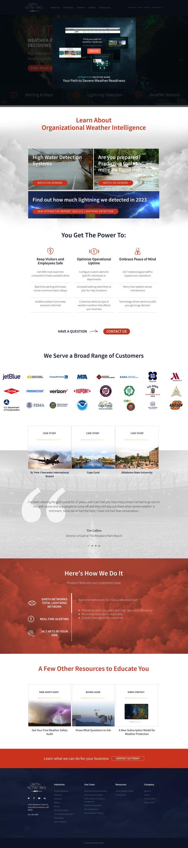
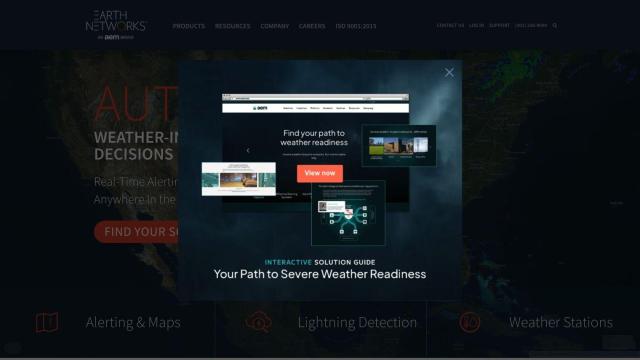
Earth Networks screenshot thumbnail

Earth Networks

Earth Networks is a real-time weather alerting and lightning detection service designed to help people make informed decisions about weather-related safety. It includes a Lightning Detection Network with high location accuracy, real-time alerting and 24/7 meteorological support. It's geared for airport operations, education and parks and recreation, with tools to help reduce weather-related risks and increase operational uptime.

Additional AI Projects

Atmo screenshot thumbnail

Atmo

Produces high-resolution, real-time weather forecasts with up to 50% greater accuracy and 40,000 times faster processing than traditional models.

Tempest screenshot thumbnail

Tempest

Provides hyperlocal, AI-driven weather forecasts with guaranteed accuracy, empowering informed decisions for daily life and business operations.

Weather Machine screenshot thumbnail

Weather Machine

Unifies weather data from multiple forecast APIs into a single adapter, providing a standardized interface for easy integration and accurate forecasts.

Exosite screenshot thumbnail

Exosite

Monitor and manage equipment fleets in real-time, predicting maintenance and optimizing operations with customizable dashboards and scalable integration.

EOSDA screenshot thumbnail

EOSDA

Utilizes satellite data and machine learning to provide actionable insights for sustainable agriculture and forestry, enabling data-driven decision making and reduced waste.

Rainbow screenshot thumbnail

Rainbow

Provides hyperlocal weather forecasts with minute-by-minute updates for 1x1 km areas, enabling businesses to make informed decisions and optimize operations.

Airly screenshot thumbnail

Airly

Provides real-time hyperlocal air quality data, empowering governments and businesses to make data-driven decisions to decrease emissions and protect citizens' health.

Agromonitoring screenshot thumbnail

Agromonitoring

Provides precision farming insights through satellite imagery, vegetation indices, and weather data, empowering data-driven crop management and decision-making.

Pirate Weather screenshot thumbnail

Pirate Weather

Access raw weather data from multiple NOAA models, including minute-by-minute forecasts, with customizable units, data blocks, and extended hourly data.

Nearmap screenshot thumbnail

Nearmap

Transforms high-resolution aerial imagery into actionable insights with AI predictions, 3D modeling, and geospatial tools for informed business decisions.

Sentinel Hub screenshot thumbnail

Sentinel Hub

Access a unified API for satellite imagery from multiple sources, with features for data exploration, custom scripting, and analysis, and global coverage at various scales.

OxBlue screenshot thumbnail

OxBlue

Process project photos to monitor activity, safety, and weather data, enabling informed decision-making with real-time visual insights.

Moody's RMS screenshot thumbnail

Moody's RMS

Combines data, models, and expertise to address complex risk challenges, providing a unified and insightful view of risk for informed decision-making.

ePlant screenshot thumbnail

ePlant

Remotely monitor tree health and environmental conditions with long-range wireless sensors, tracking growth, stress, and weather patterns for data-driven decisions.

Climate FieldView screenshot thumbnail

Climate FieldView

Analyze field data in real-time to optimize crop yields and profitability, making informed decisions with actionable insights.

FlightAware screenshot thumbnail

FlightAware

Access real-time, predictive, and historical aviation data for informed decision-making and integration.

Datadog screenshot thumbnail

Datadog

Provides real-time visibility into performance, security, and user experience across entire technology stacks, enabling swift troubleshooting and optimization.

Weathermegood screenshot thumbnail

Weathermegood

Generates accurate weather forecasts for your trip based on current and historical data, helping you plan and prepare for your destination's weather.

Electricity Maps screenshot thumbnail

Electricity Maps

Access real-time, historical, and forecasted carbon intensity data for 230+ regions to inform energy decisions and reduce carbon footprint.

Knightscope screenshot thumbnail

Knightscope

Autonomous security robots with 360-degree HD video streaming, people detection, and physical deterrence for enhanced public safety and crime reduction.