Question: Are there any aerial robotics solutions that offer advanced sensors and cameras for detailed data capture in industries like Energy & Utilities, Defense, and Public Safety?

Skydio
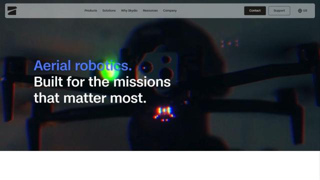
If you're in the market for more sophisticated aerial robotics to gather detailed data in Energy & Utilities, Defense and Public Safety, Skydio is a good choice. Its self-piloting drones come with the latest AI and high-resolution visual and radiometric thermal cameras, including the FLIR Boson+ sensor. The Skydio X10's Drone as First Responder (DFR) abilities are particularly useful for public safety. The drones are designed to be portable, rugged and IP55 certified, with quiet propulsion and lightweight materials.

DroneDeploy
Another good option is DroneDeploy, which lets you use drone mapping and photo documentation for the entire asset lifecycle. The service offers smart insights through AI-powered data extraction and is used in industries like oil and gas and renewable energy. With automated capture, enterprise-grade security and compliance certifications, DroneDeploy lets customers monitor progress, detect issues and reduce rework.
PIX4D
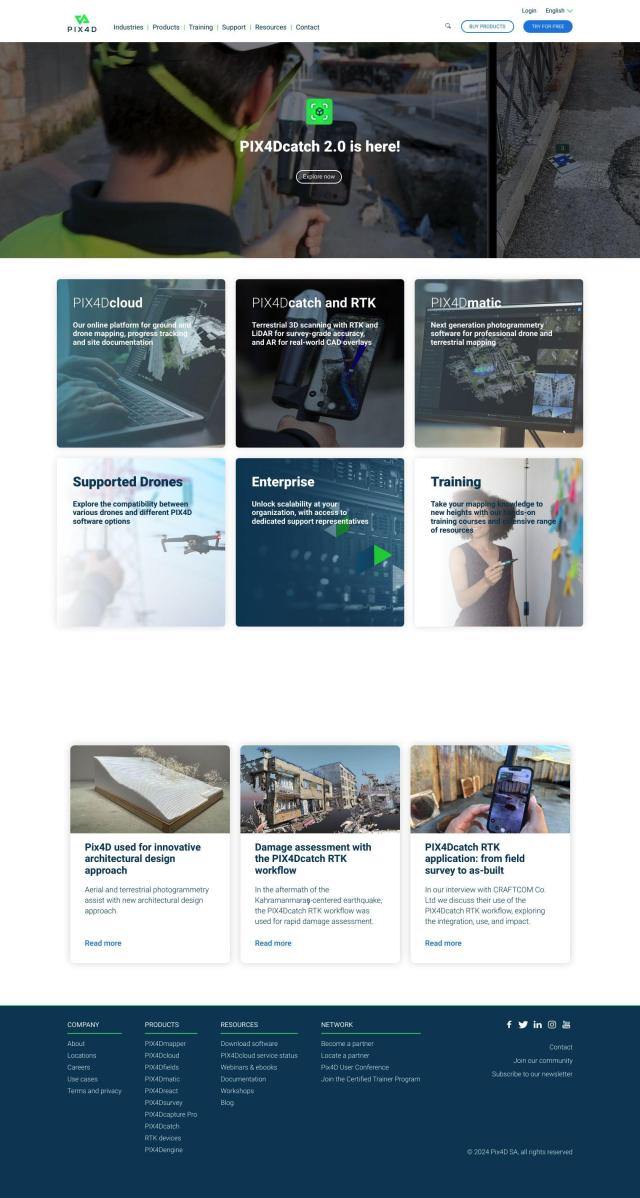
If you need to create precise 3D modeling and mapping, PIX4D is a photogrammetry software suite that takes images from drones and cameras, processes them and analyzes them to create accurate maps and 3D models. PIX4D offers flexible processing options, including desktop and cloud processing, and collaboration tools to share project data and insights. That makes it good for professionals and companies in surveying, architecture, engineering and construction.


Hexagon
Last, Hexagon has a suite of digital reality tools that combines sensor, software and autonomous technology to help companies transform their businesses. Its tools include autonomy, data management and digital reality, all designed to increase efficiency, reduce waste and improve sustainability in industries like aerospace, energy and manufacturing. Hexagon's platforms like Nexus and HxDR let customers connect people, technology and data to improve performance and efficiency.

