Question: Is there a tool that can create accurate 3D maps and surveys from aerial or ground-based images?
RealityCapture screenshot thumbnail

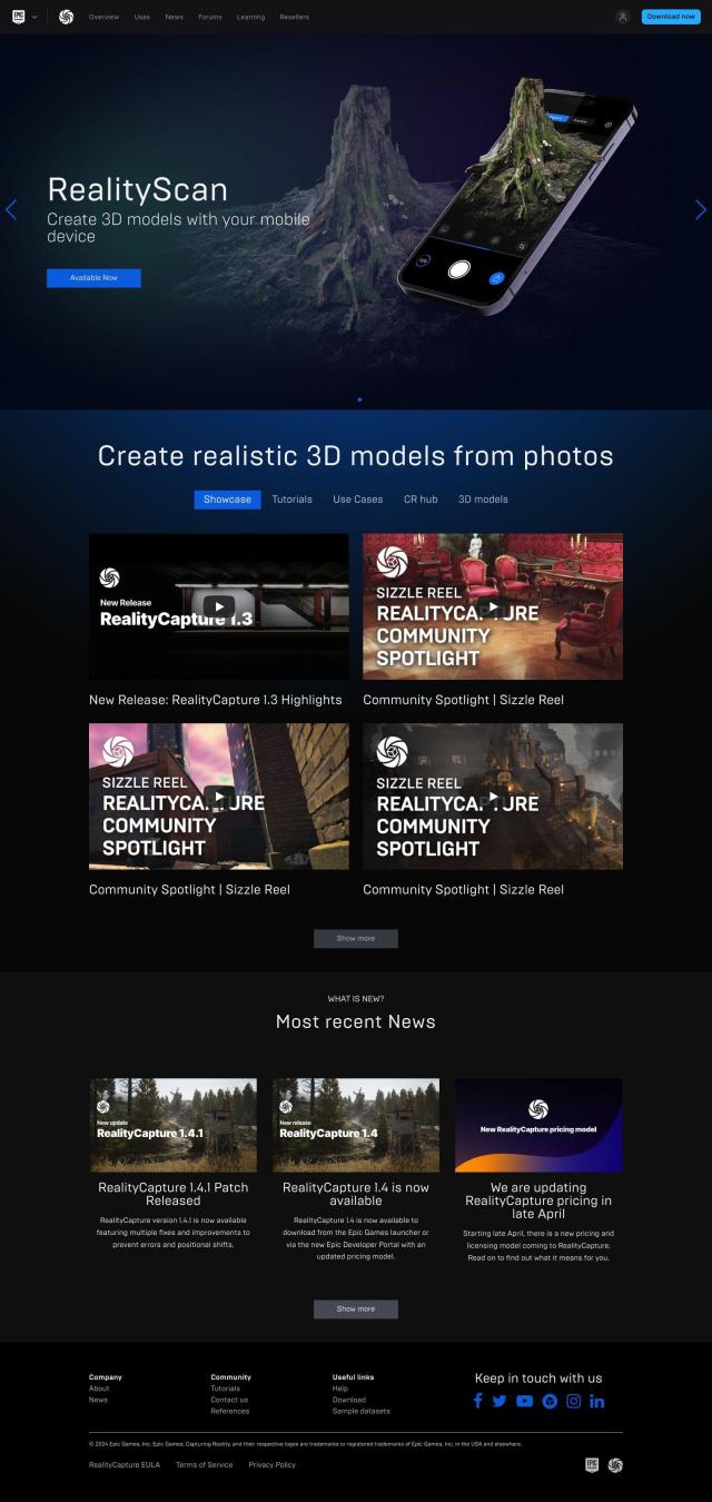
RealityCapture

If you need software to generate 3D maps and surveys from photos or laser scans taken from the air or on the ground, RealityCapture is a top contender. It can automatically generate textured 3D meshes and orthographic projections from photos and laser scans, which is useful for reconstructing historical sites, buildings and environmental features. The software accepts a variety of input formats and has flexible pricing options, including a free version for hobbyists and students.

Polycam screenshot thumbnail

Polycam

Another top contender is Polycam, an all-purpose 3D capture and creation tool. You can use it to create 3D models with your iPhone, iPad, Android phone or web browser, and it has tools for LiDAR scanning, photogrammetry and 360-degree panorama capture. Polycam is available as a free app for iOS and Android, with a web app for more advanced features, and has free and paid versions for pros and businesses.

Esri screenshot thumbnail

Esri

If you're looking for something more focused, Esri offers GIS mapping software and spatial analytics tools with 3D visualization and location intelligence. It's geared for uses like retail site selection, asset management and infrastructure planning, so it's a good option if you need a lot of spatial analysis and visualization abilities. A 21-day free trial lets you try the software.

AI Clearing screenshot thumbnail

AI Clearing

Last, AI Clearing offers a digital field construction progress tracking tool that uses machine learning to create detailed 3D site reports. It combines drone and other digital data sources for sophisticated 4D geospatial analysis, which can be useful for monitoring construction progress with a high degree of precision and accuracy.

Additional AI Projects

Matterport screenshot thumbnail

Matterport

Capture and collaborate on 3D digital twins of real-world sites, leveraging AI-driven analytics and immersive virtual experiences for improved project outcomes.

Hexagon screenshot thumbnail

Hexagon

Combines sensor, software, and autonomous technologies to increase efficiency, reduce waste, and improve sustainability across industries through data-driven digital reality solutions.

CARTO screenshot thumbnail

CARTO

Analyze and visualize spatial data at any scale with native cloud integration, intuitive drag-and-drop interface, and built-in GenAI capabilities.

MagiScan screenshot thumbnail

MagiScan

Uses AI to scan objects and create high-quality 3D models directly on iOS and Android phones, with multiple export formats for various uses.

3DFY.ai screenshot thumbnail

3DFY.ai

Generate high-quality 3D models from text prompts or single images, rapidly creating engaging 3D assets at scale with unprecedented efficiency.

Meshy screenshot thumbnail

Meshy

Convert text and 2D images into 3D assets with speed and ease, creating models from text prompts in seconds and images in minutes.

Gencraft screenshot thumbnail

Gencraft

Accelerate content creation with AI-powered tools, generating high-quality text, images, and videos quickly, and customizable to meet your specific needs.

Mapbox screenshot thumbnail

Mapbox

Create customizable, interactive maps with live-updating data and advanced navigation features for web, mobile, automotive, and AR applications.

3D AI Studio screenshot thumbnail

3D AI Studio

Convert text or images into high-quality 3D assets in seconds, saving time and money with automated modeling, texturing, and exporting capabilities.

Immersity AI screenshot thumbnail

Immersity AI

Convert 2D imagery and video into immersive 3D experiences with detailed depth maps, expanding creative possibilities for commercial use.

Kaedim screenshot thumbnail

Kaedim

Generates high-quality, production-ready 3D models from 2D images or text descriptions in minutes, with instant editing capabilities and diverse categories.

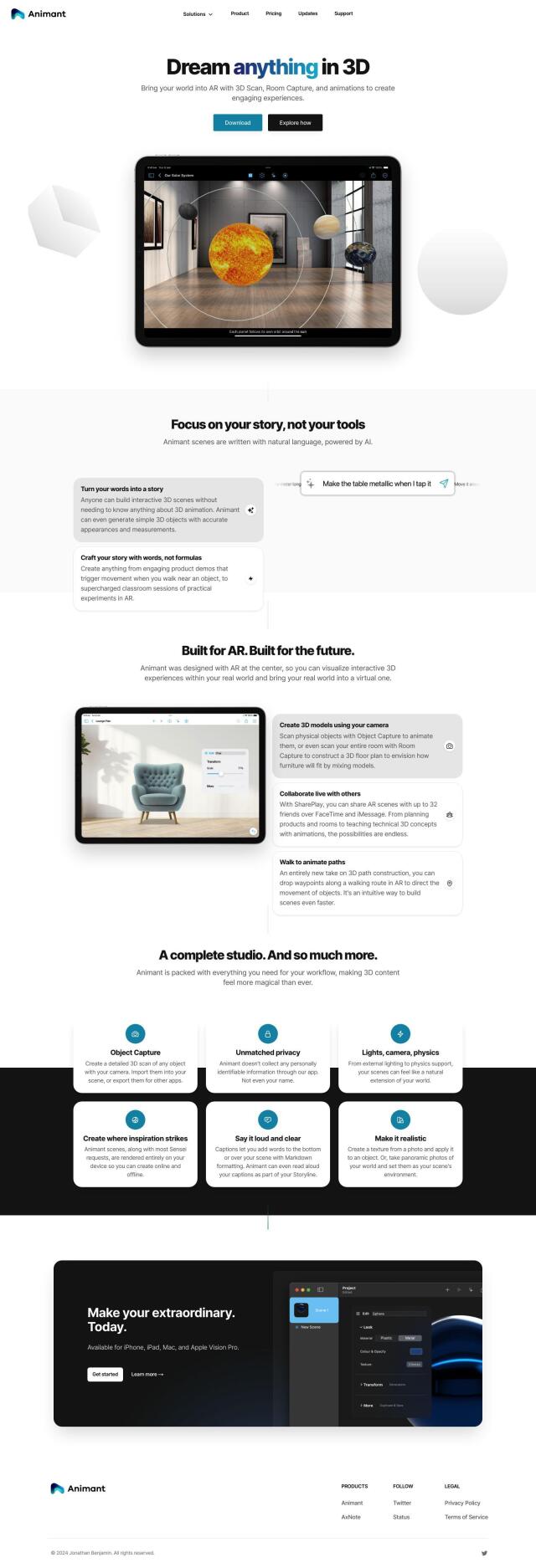
Animant screenshot thumbnail

Animant

Create immersive AR experiences by scanning and animating 3D objects and rooms with intuitive, user-centric tools, no 3D animation expertise required.

Rapid Editor screenshot thumbnail

Rapid Editor

Automates map creation and updates using machine learning and satellite imagery, reducing manual effort and increasing accuracy.
Sloyd screenshot thumbnail

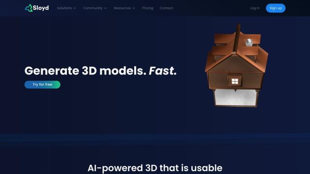
Sloyd

Generate high-quality, customizable 3D models quickly and easily using text prompts, with control over polycounts, UV-unwrapping, and LODs.

Avataar screenshot thumbnail

Avataar

Create immersive 3D stories and videos with a fluid blend of digital and real-world elements, leveraging AI for easy model generation and cost savings.

Bezi screenshot thumbnail

Bezi

Accelerate 3D design and prototyping with collaborative, real-time tools and generative AI, accessible to users without deep 3D skills.

Move AI screenshot thumbnail

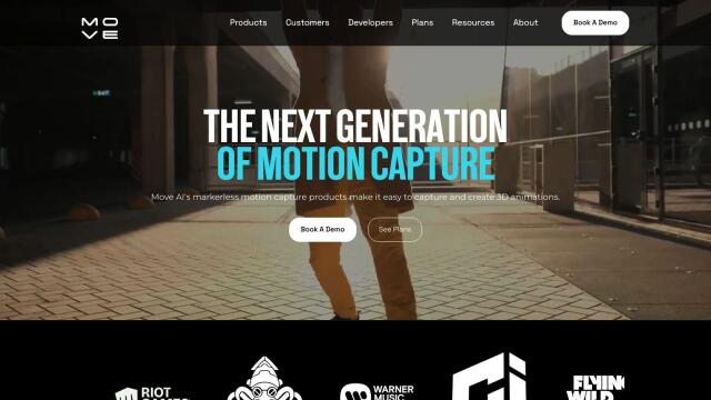
Move AI

Capture realistic human motion with AI-powered 2D-to-3D video conversion, allowing for flexible and high-quality motion data in any environment.

Blockade Labs screenshot thumbnail

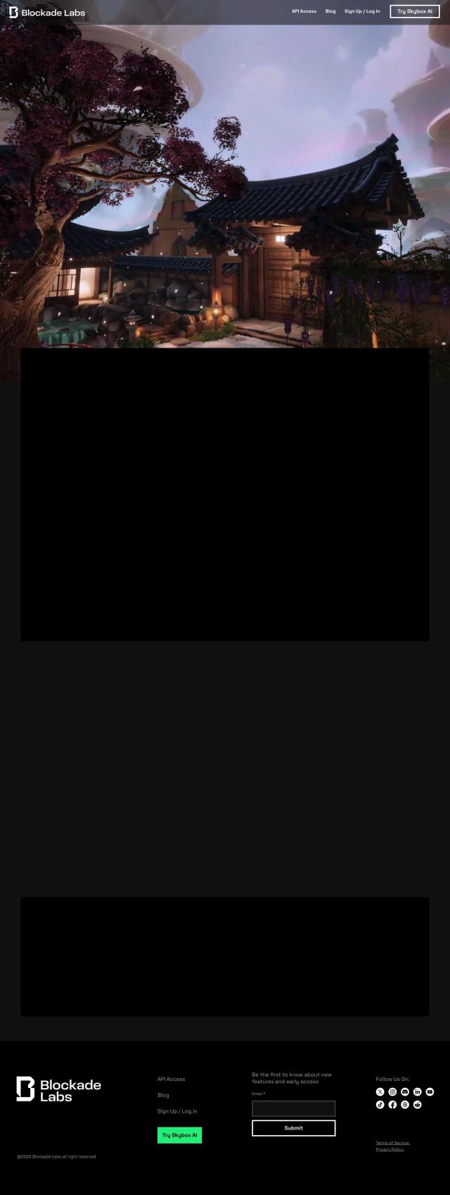
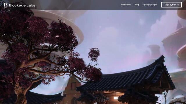
Blockade Labs

Generate 360° panoramic worlds with AI-powered text prompts or sketches, refining scenes with art styles, remixing, and 3D mesh exports for immersive experiences.

Visoid screenshot thumbnail

Visoid

Creates high-quality 3D images in minutes, allowing architects to experiment with different materials, lighting, and seasons in a single, intuitive tool.

mnml.ai screenshot thumbnail

mnml.ai

Convert sketches and 3D models into high-quality renderings and variations with a range of AI tools for architectural and interior design projects.